Gdynia - Rewa
About the journey
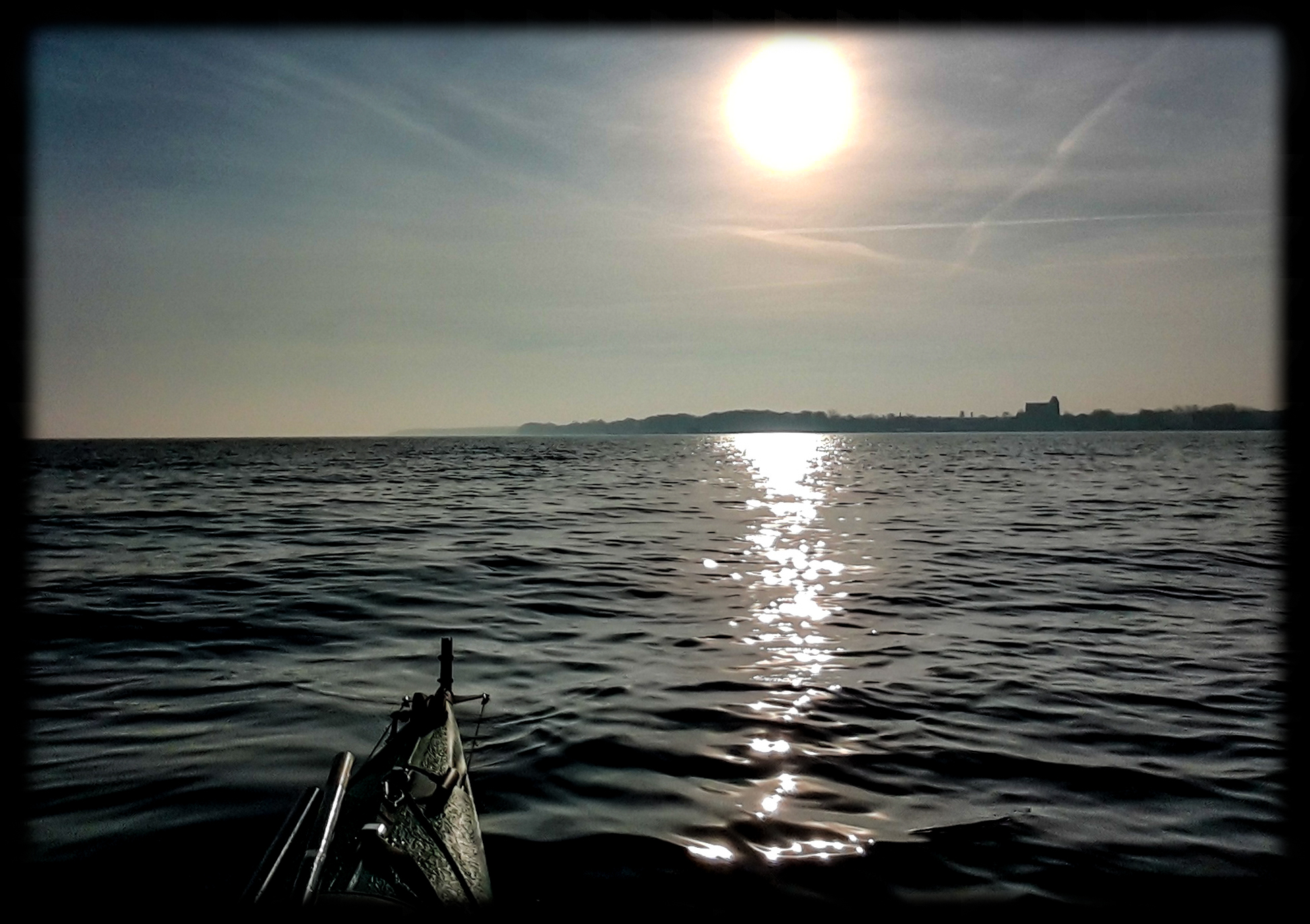
Date: 10 February 2018
Start: Gdynia (yacht port) 11:50
Finish: Rewa (beach) 16:10
Distance: 14,9 km (8,01 Nm)
Wind / Sea: 0-1ºB
Weather: Heavy overcast, wind E, temp. -3°C, waves max 10 cm

Date: 10 February 2018
Start: Gdynia (yacht port) 11:50
Finish: Rewa (beach) 16:10
Distance: 14,9 km (8,01 Nm)
Wind / Sea: 0-1ºB
Weather: Heavy overcast, wind E, temp. -3°C, waves max 10 cm

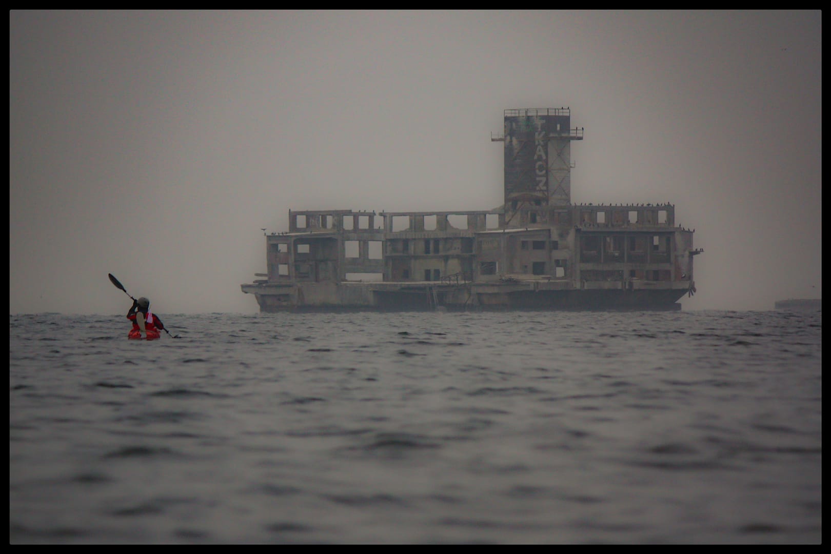
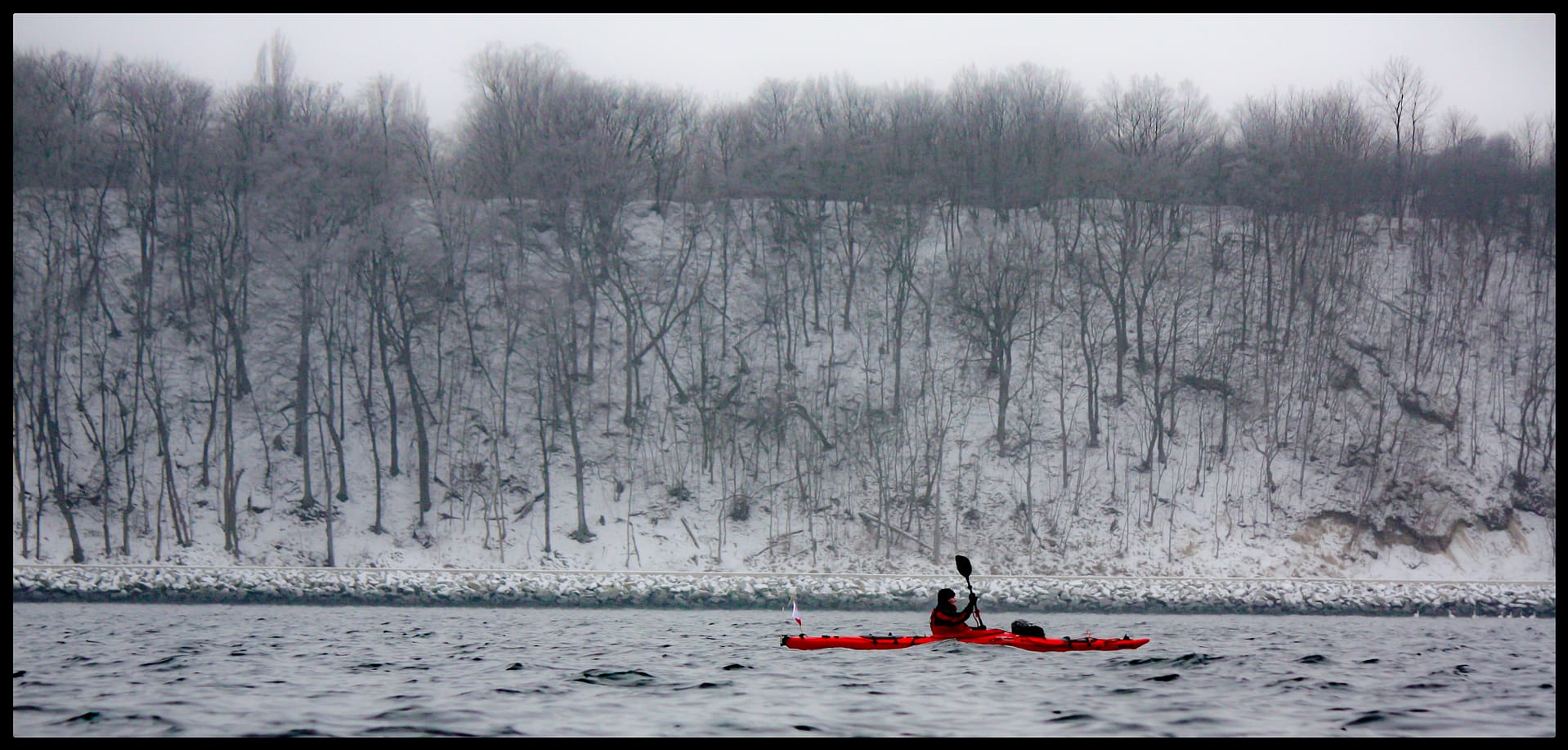


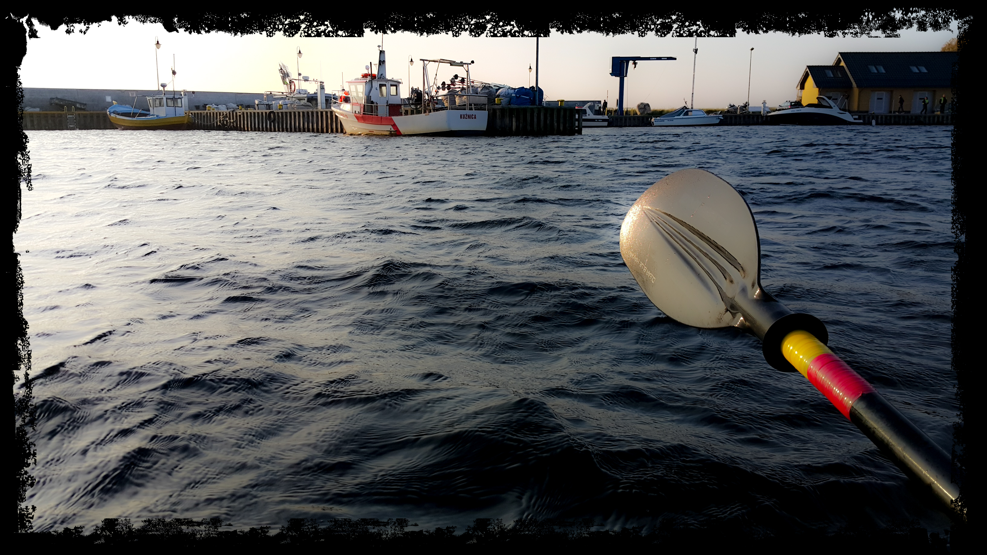
Date: 6 January 2018
Start: Kuźnica (port); 10:45
Finish: Jurata (molo); 13:00
Distance: 12,2 km (6,5 Nm)
Wind / Sea: 1-2ºB
Weather: Cloudy, temp. about 7’C, waves max 30 cm


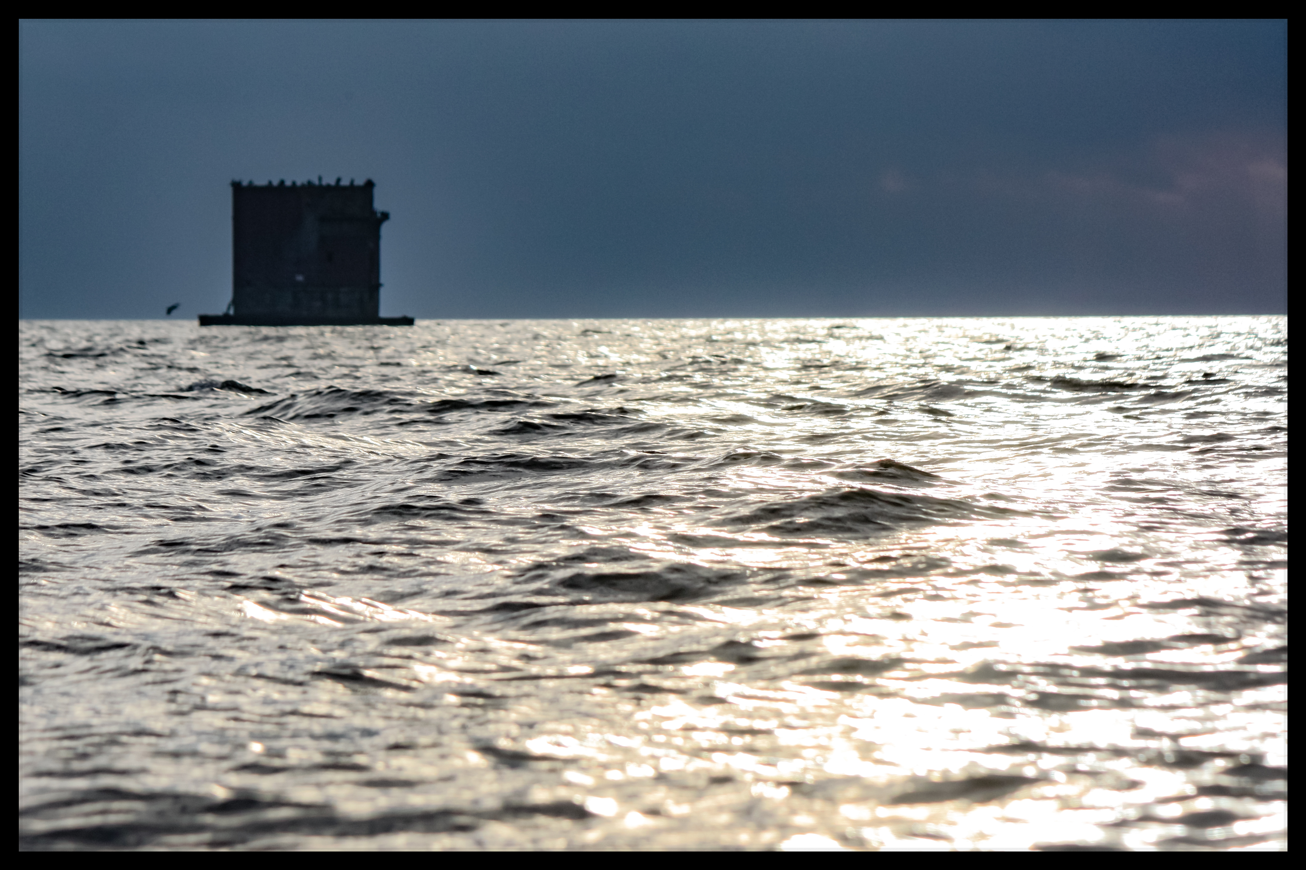
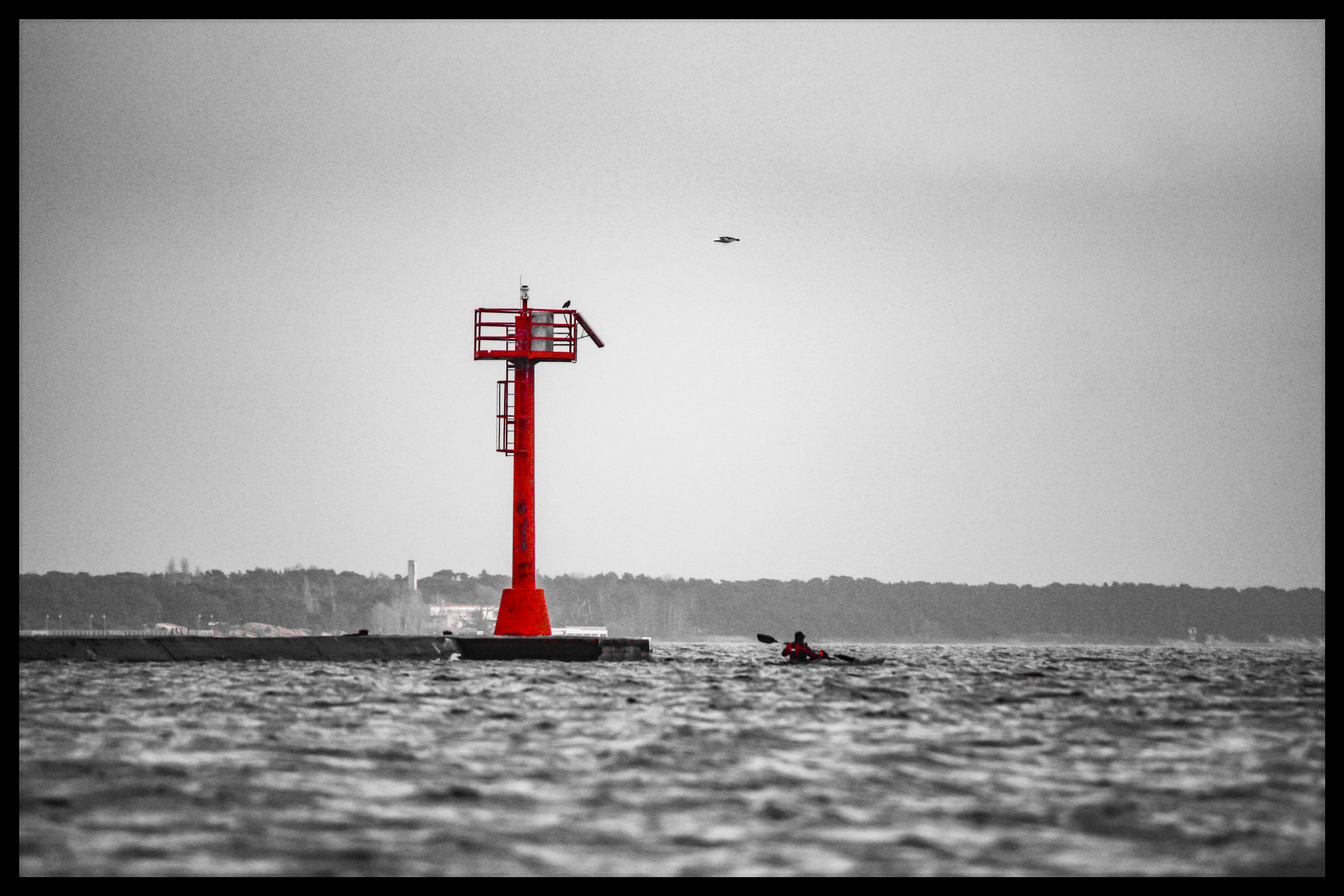
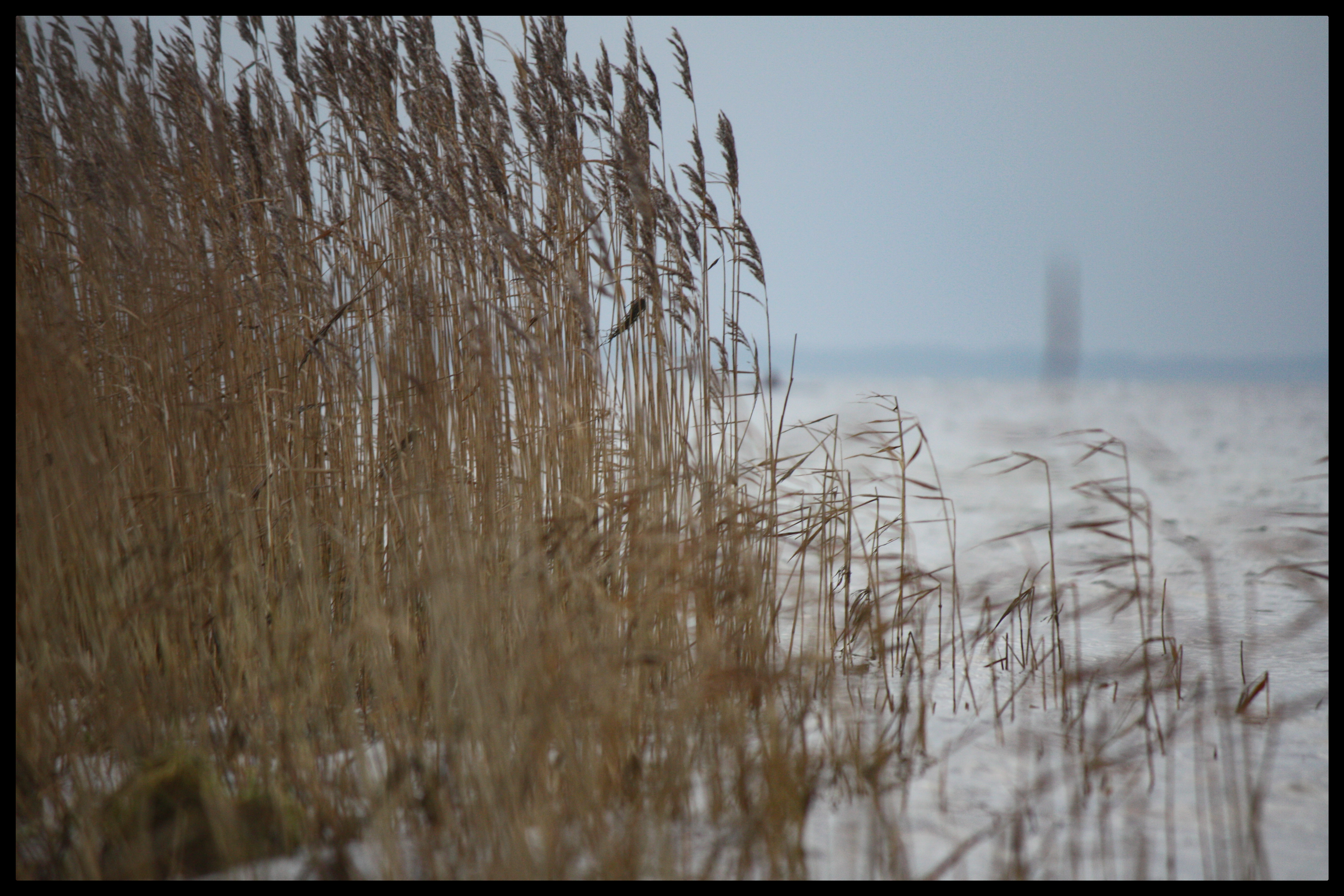
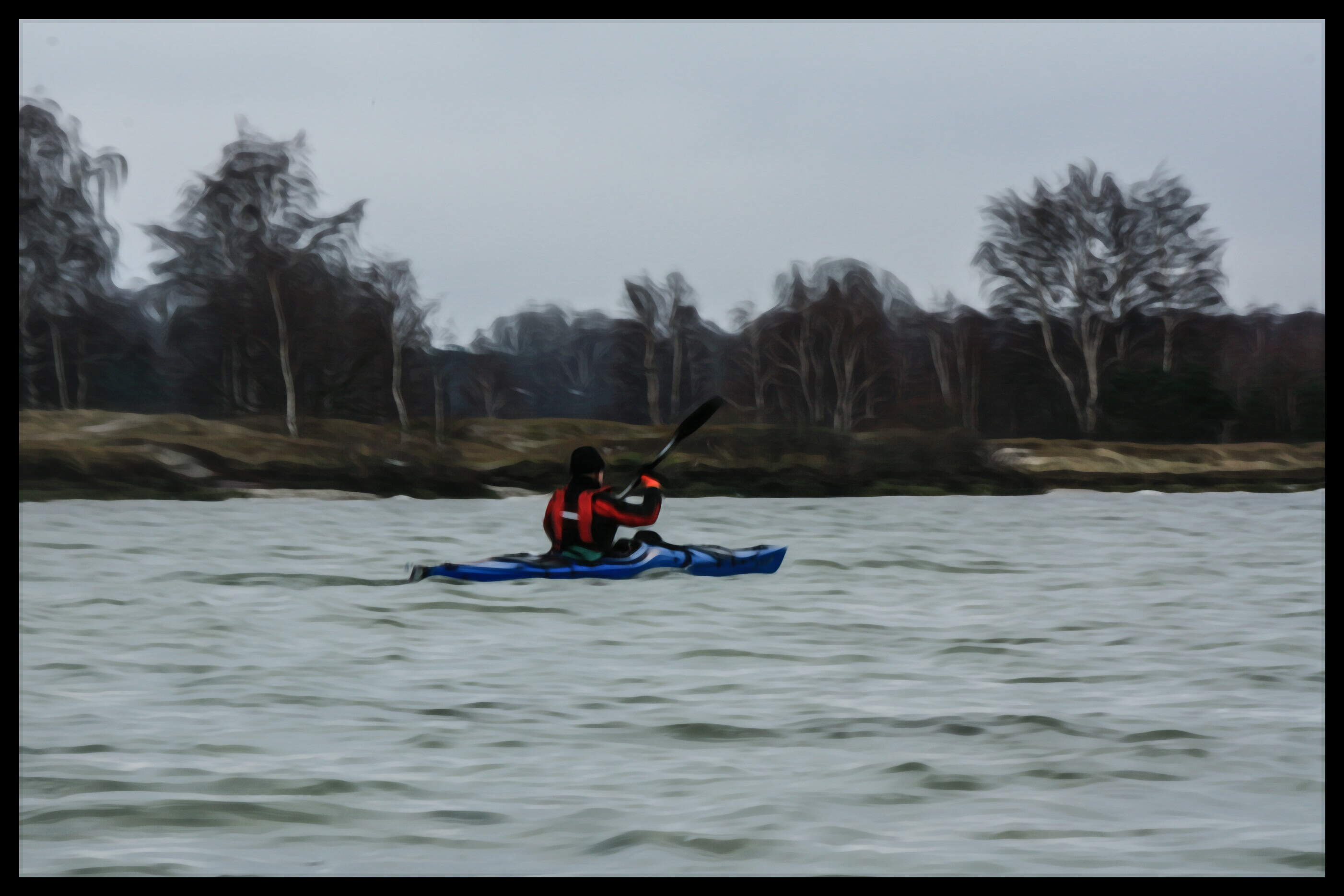
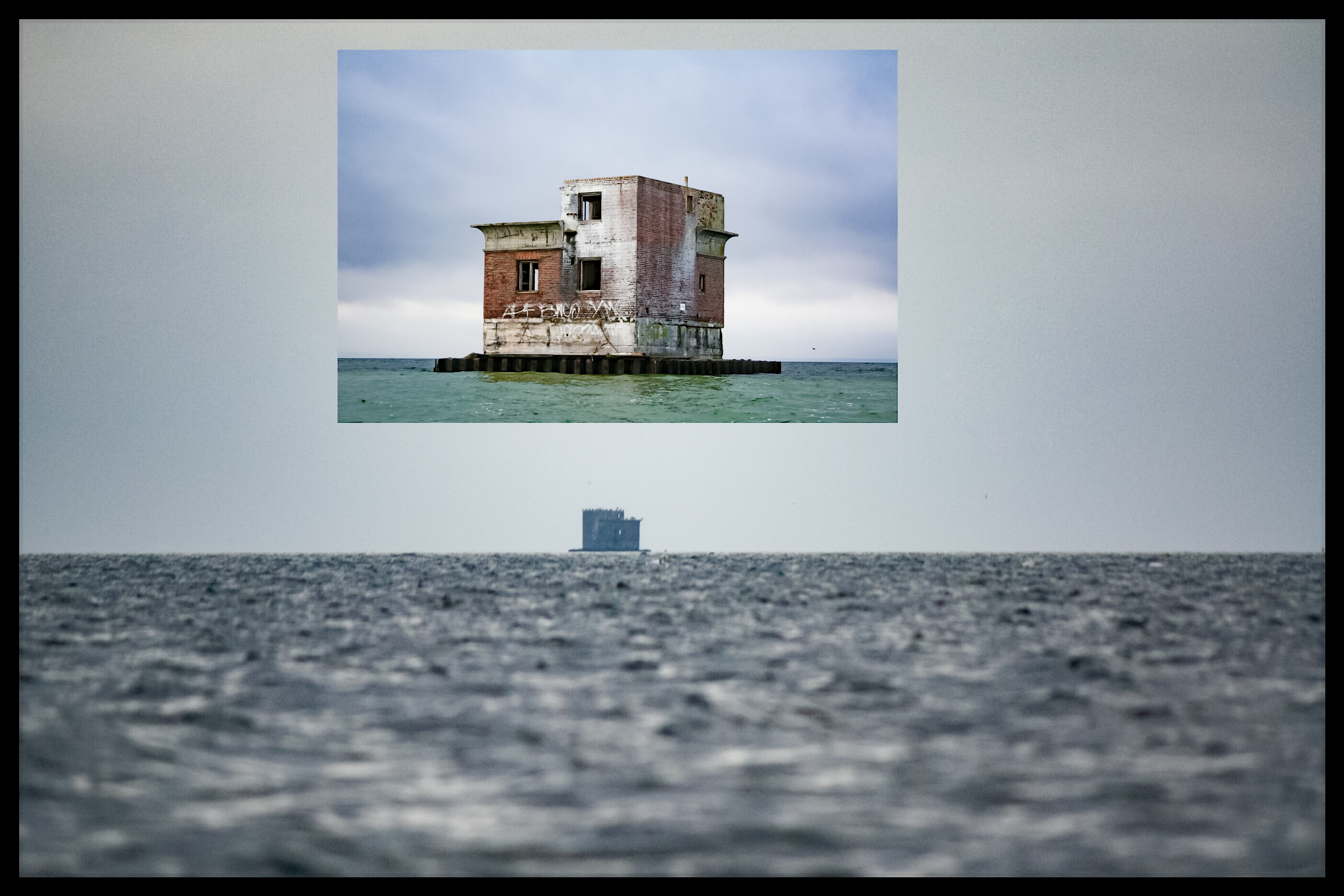
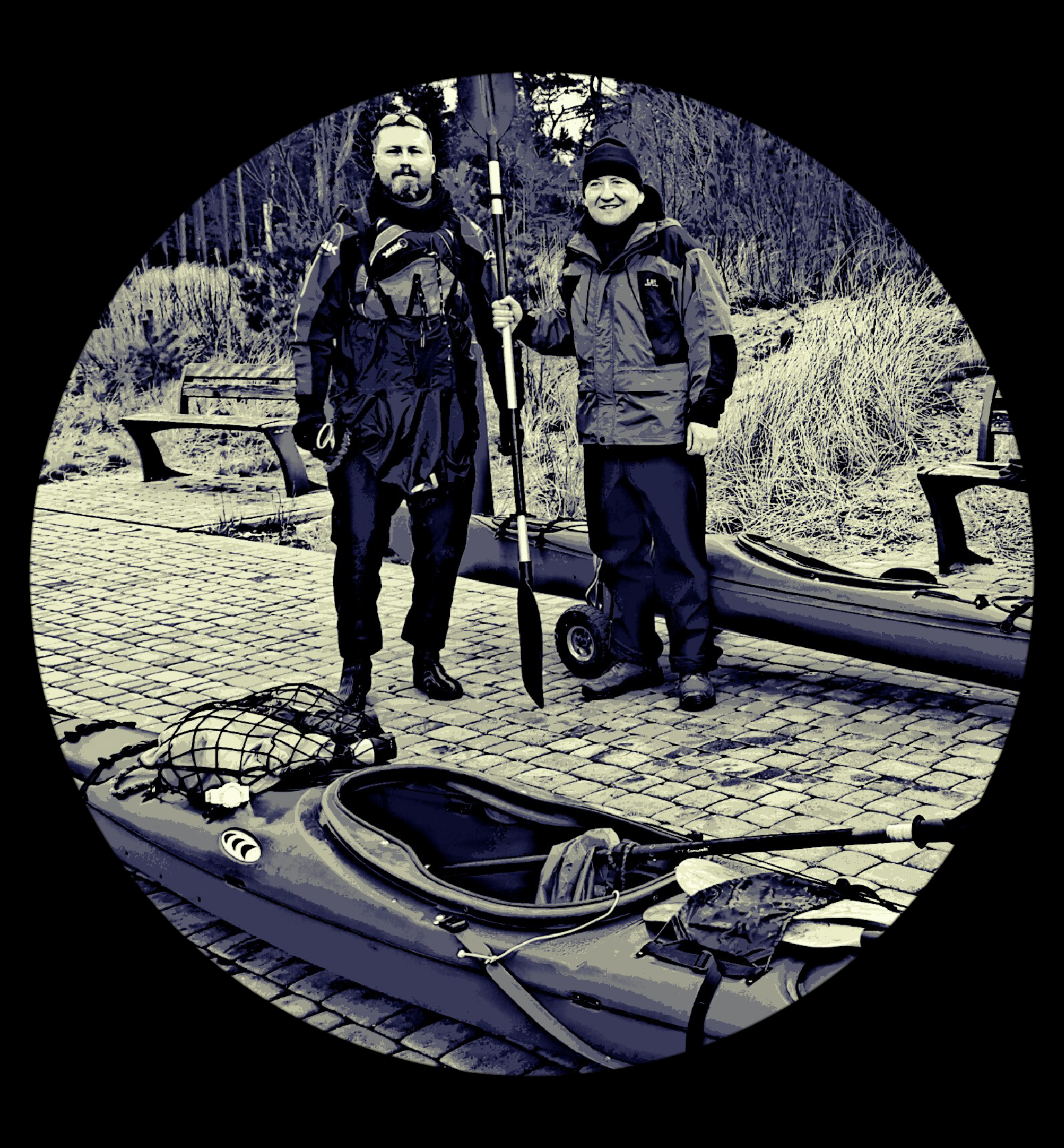
Date: 5 November 2017
Start: Puck fish harbour - 10:00
Finish: Kuźnica port - 15:00
Distance: 19,1 km (10,1 Nm)
Wind / Sea: 1-3ºB
Weather: Cloudless, wind E, temp. about 12°C, waves max 30 cm


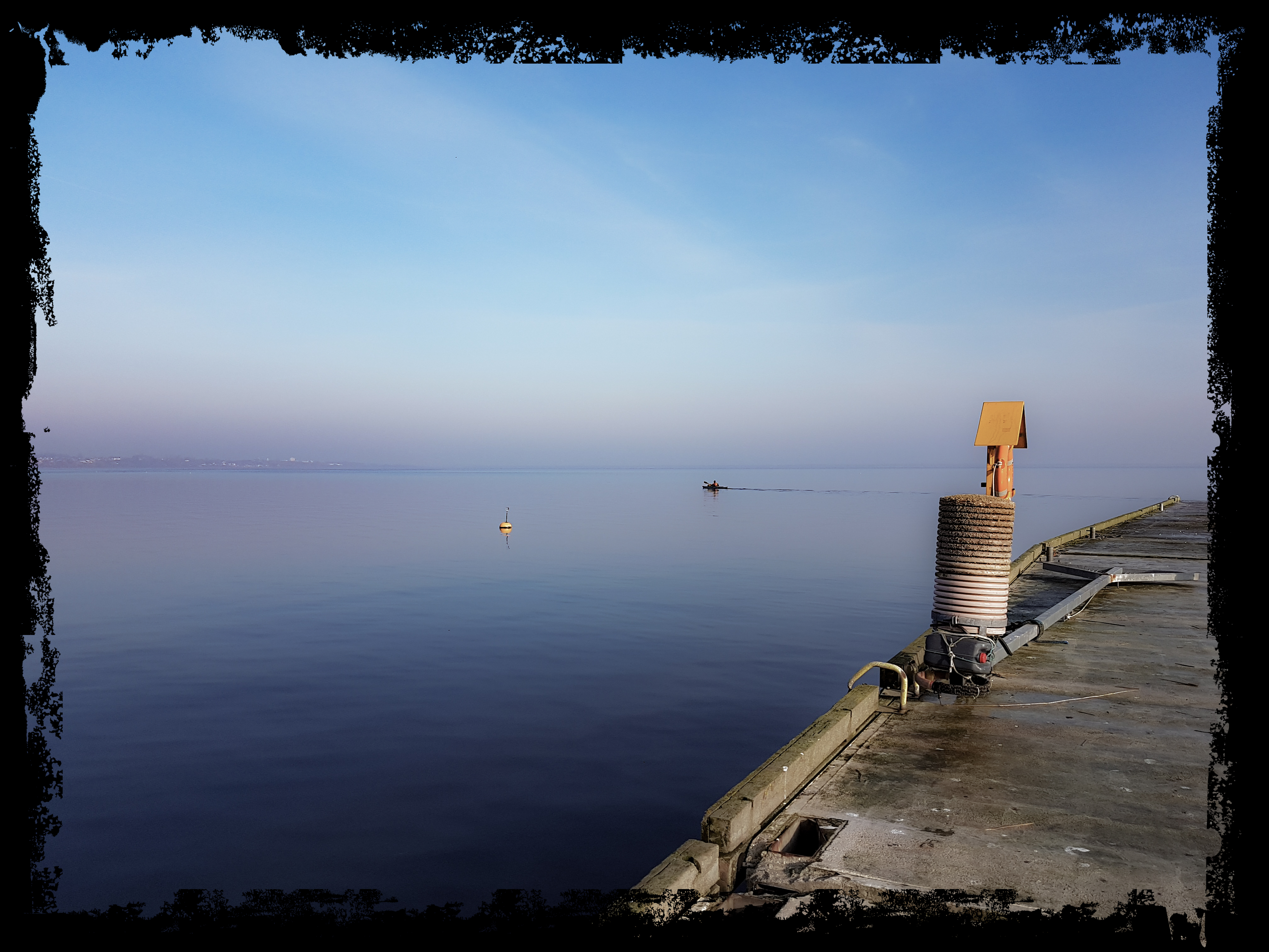
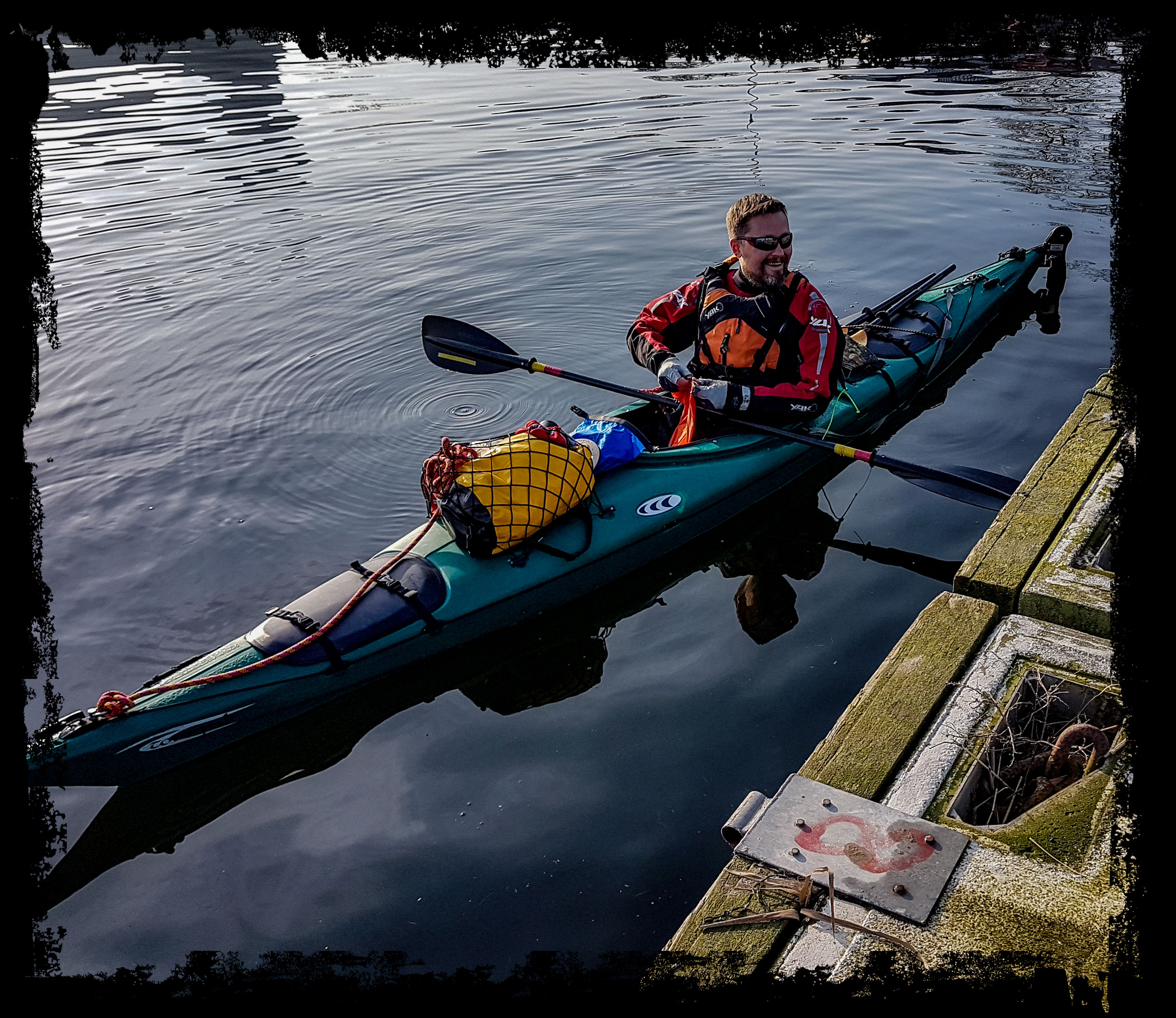
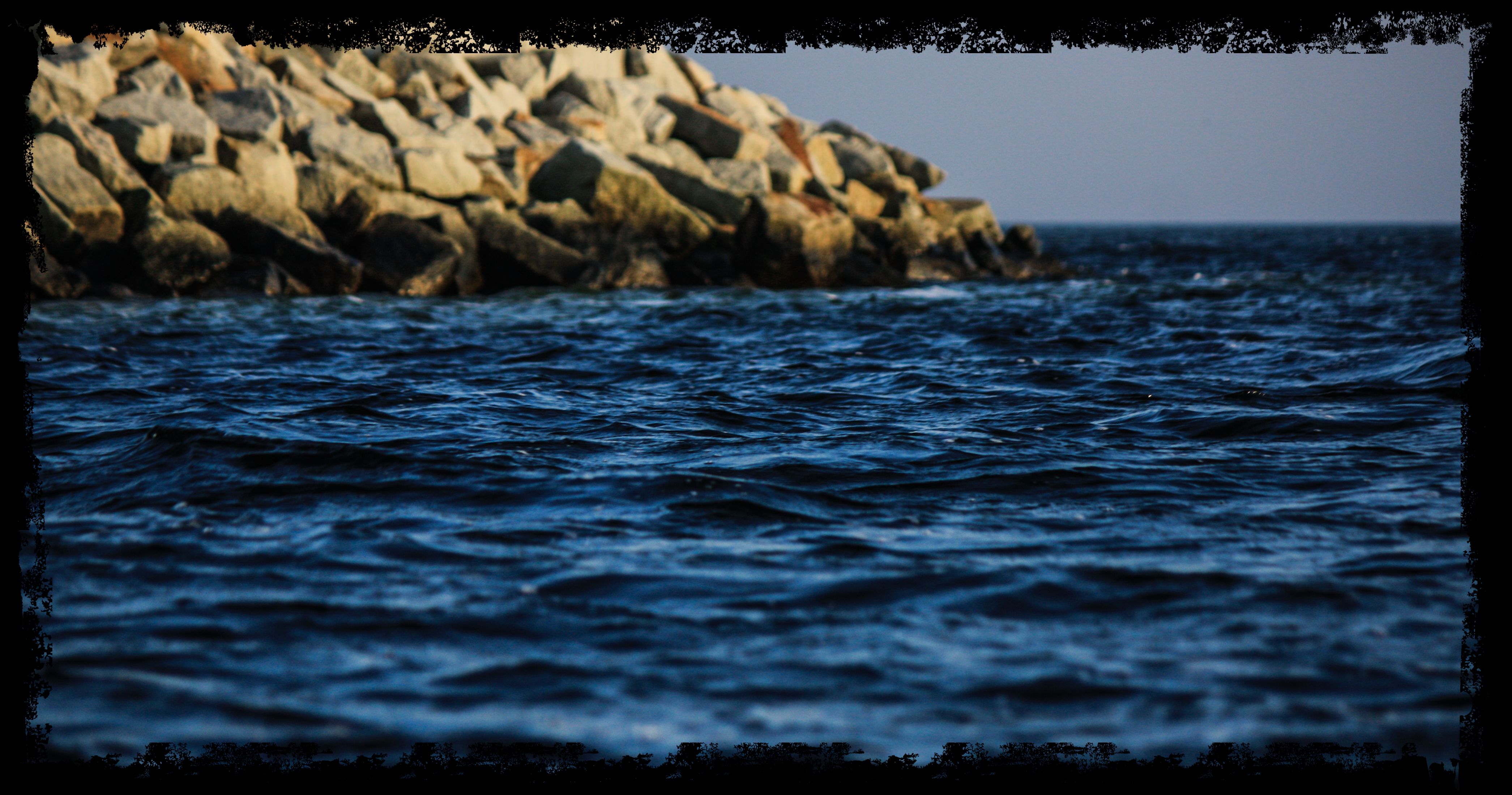
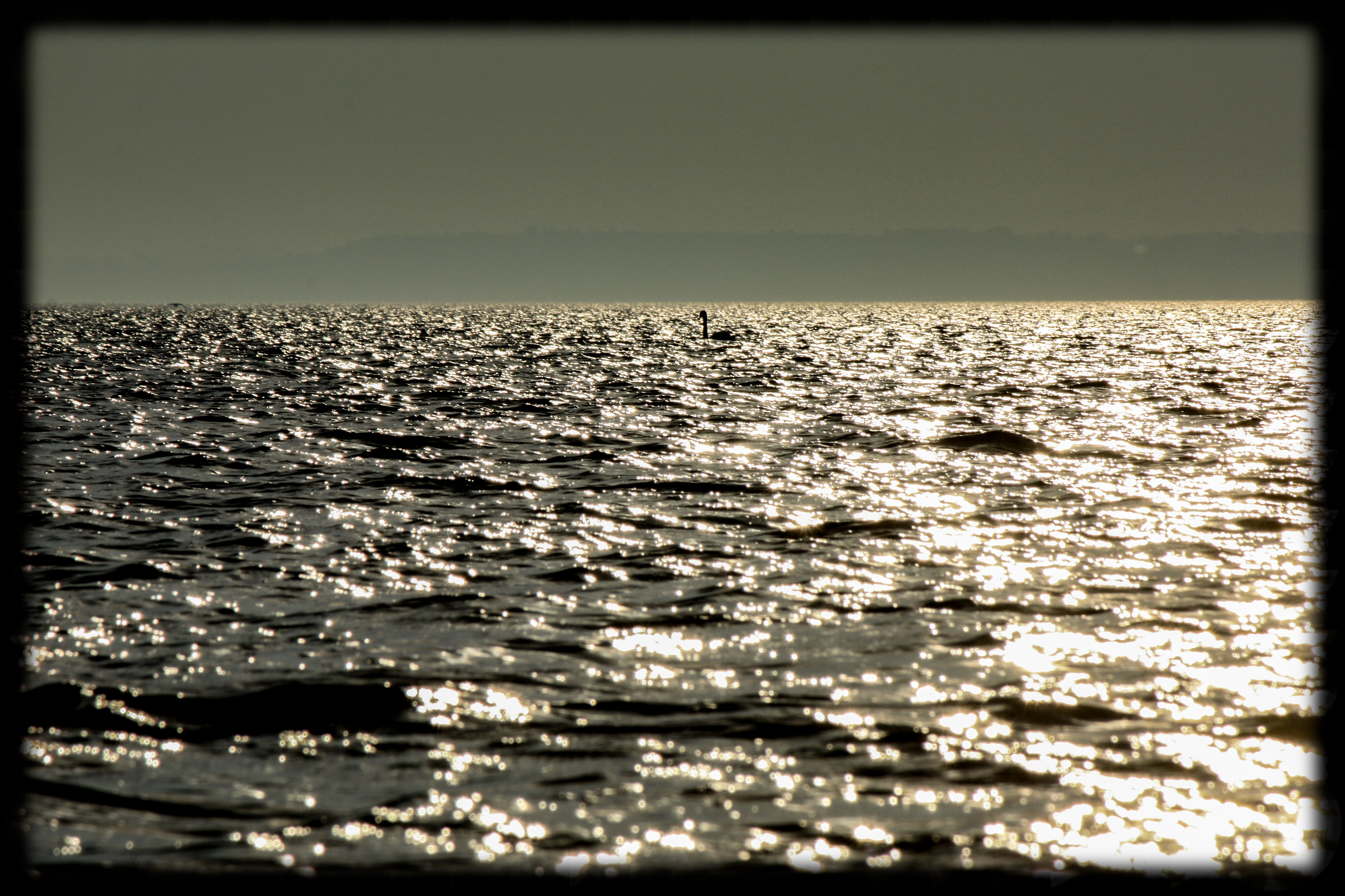

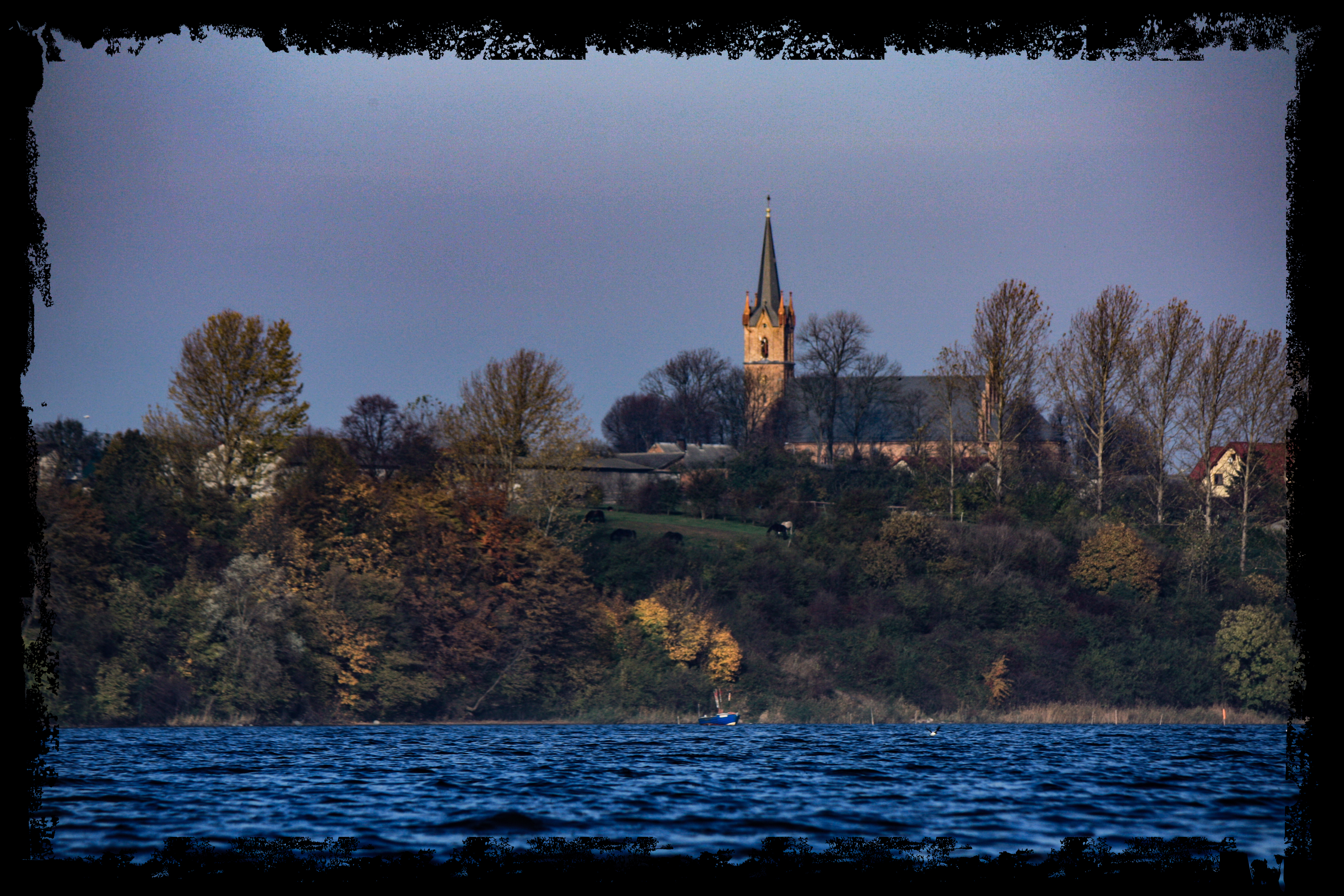

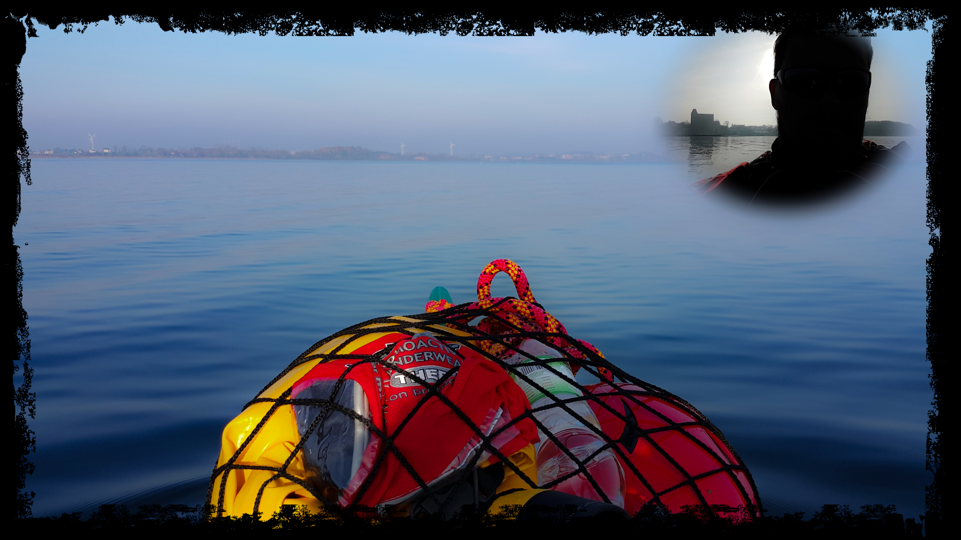
Start: Rewa port (09:15)
Finish: Puck port (12:30)
Distance: 13 km (7 Nm)
Wind / Sea: 0-2ºB
Weather: Heavy overcast, wind E, temp. about 15’C, waves max 30 cm


Finishing Ivalojoki river in July 2017, according to the plan, Adam and me, we had being planned get to the mouth and paddle through Inari lake to Inari village. Though finally we decided to use the opportunity to be in The North Cape (Nordkapp), since we were only 400 km from. The second idea was to launch our kayaks somewhere over there. It was a great, several hours journey, full of wonderful landscapes of the northern nature, Norwegian mountains and 200-km road alongside Porsangerfjord. That last one with a few long tunnels and corridors beetwen cliffs and walls of the rocks as well.
At 10 p.m., in the lunar landscape of Mageroya island, Nordkapp greeted us with the sun, high temperature and the Barents Sea being flat
That was, how my naval kayaking has begun „modestly”, on The Arctic Ocean.


My first Scandinavian kayaking adventure. In a good company of my old comrades, Mirek and Mikołaj and Adam, this last one debuting in our group. The first part of the venture had been lasting for 6 days, from 11th to 16th July 2017. The aim was beautiful, slightly mountain, river Ivalojoki in Finnish area of Lapland, located about 250 km beyond Arctic Circle. Reaching Ivalo, where we left our car and we finished canoeing, took 3 days (600 km by ferry from Gdańsk to Nynashamn and 1500 by the car).
During 6 days we took down circa 102 km. We had started at the bridge in Ivalon – Matti, in a total wilderness. The weather was great. Much of the sun, little rain, the temperature in the middle of the days 13 – 20 ºC. Generally, warm. Fantastic polar day was very helpful, eliminating the threat of seeking place for a bivouc at the darkness. On the other hand physical tiredness and lack of normal stress were enough to sleep with no problem. Obviously, entire equipment was with us.
After two easy days, taking 20-25 km during each of them, we reached the gorge of the river, fullfilled with about 30 big rapids along 40 km. The scale of the difficulty: WWI (white water I), WWII and maybe one of them is close to WWIII. The tempo had reduced by half at once, due to our bigger caution. And the last day we spent on the wide, calm river again.
| 11 lipca (wtorek) | Ivalon Matti(most) – ujście Jarmakongas | ok.23 km | słonecznie i ciepło, temperatura ok. 16-20’C |
| 12 lipca | dziki biwak przy ujściu Jarmakongas– Paivatupa (początek przełomu) | ok.23,5 km | |
| 13 lipca | Paivatupa(początek przełomu) – Kultala (stara osada poszukiwaczy złota) | ok.12 km | duże zachmurzenie, temperatura ok.13-15’C, wieczorem mżawka |
| 14 lipca | Kultala (stara osada poszukiwaczy złota) – Ritakoskitupa | ok.10 km | zimno, wietrznie, temperatura ok. 10-12’C, wieczorem silny deszcz |
| 15 lipca | Ritakoskitupa– dziki biwak na wysokości lotniska w Ivalo | ok.23 km | przeważnie słonecznie, temperatura ok. 15-17’C |
| 16 lipca (niedziela) | dziki biwak na wysokości lotniska w Ivalo – Ivalo River Camping | ok.10 km | słonecznie i ciepło, temperatura ok. 16-20’C |


The whole time we have been enjoying the views of the subpolar wildlife, including reindeers on the banks (however, in the summer they roams by the roads too). We did not meet any kayakers, only a few fishermen (fishing need official permission) and two national park rangers. We have been spending the nights in the wild or in/at the „hytte” – wooden huts, all year prepared for the tourists looking for a dry and warm (fire) shelter. One night we set the tents in Kultala, at an open – air museum, old, a small settlement built in the gold rush in the 70. of the XIX century.
There were many emotions on the rapids. On our way we had two overturns. Mirek and Mikolaj on the biggest rapid. Me, on the last one, 700-meters long, at the end of it, hitting the stone hidden just under the surface of the water. As my buddies were far from me and they could not see my problems, I have been swimming in cold, 100-150 meters wide, Ivalojoki, before I managed to haul my Prijon to the bank and remove the water from inside. The „dry” suit did well perfectly. Luckily, in both cases, there was no deadly threat. But much of adrenaline, absolutely.


When we finished, Adam and me, we were planning to paddle 60 km to Inari village, throughout lake called the same. Instead, we went 400 km into the north, where Europe ends. You will read about that in „Nordkapp” chapter.
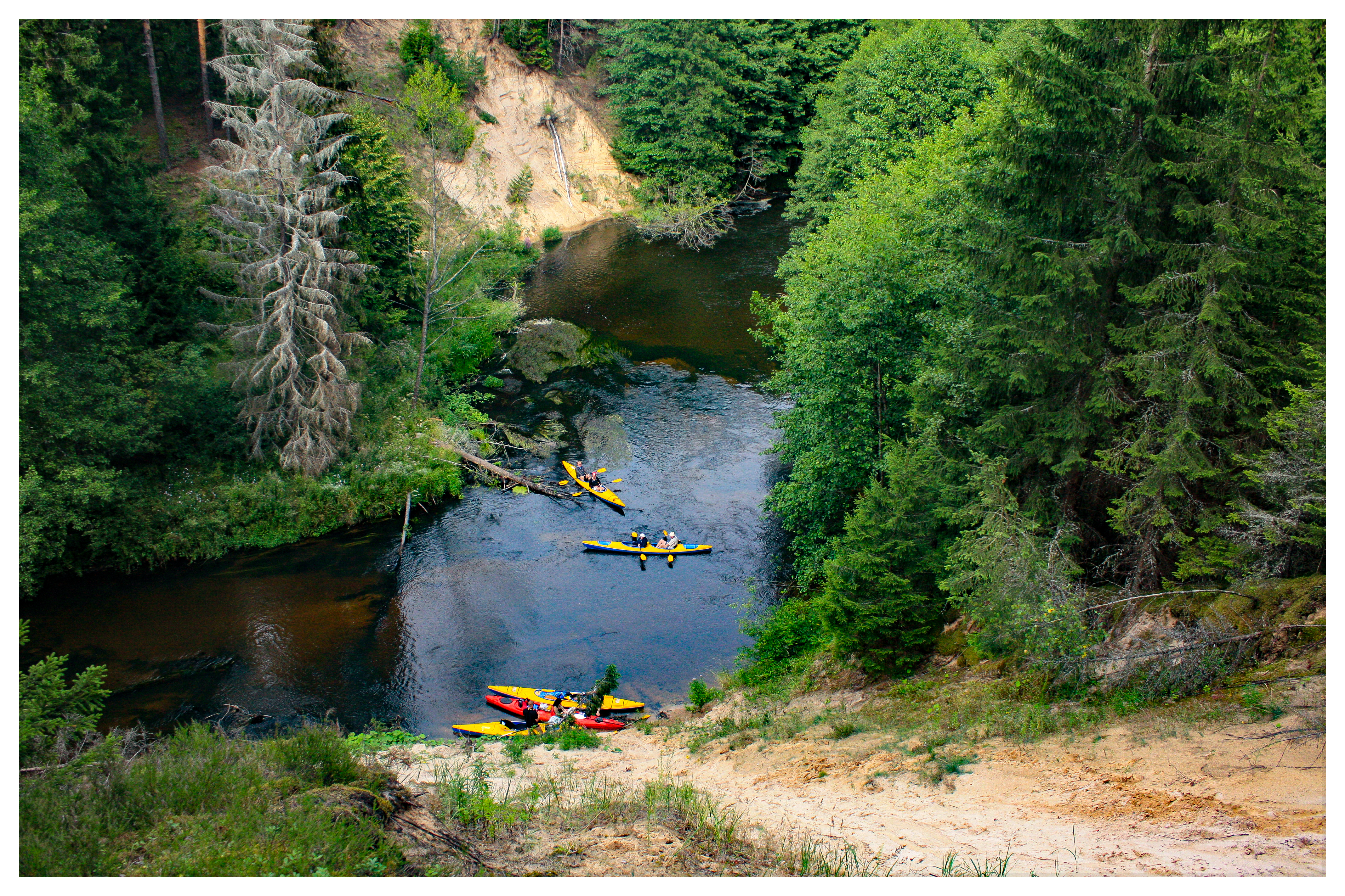
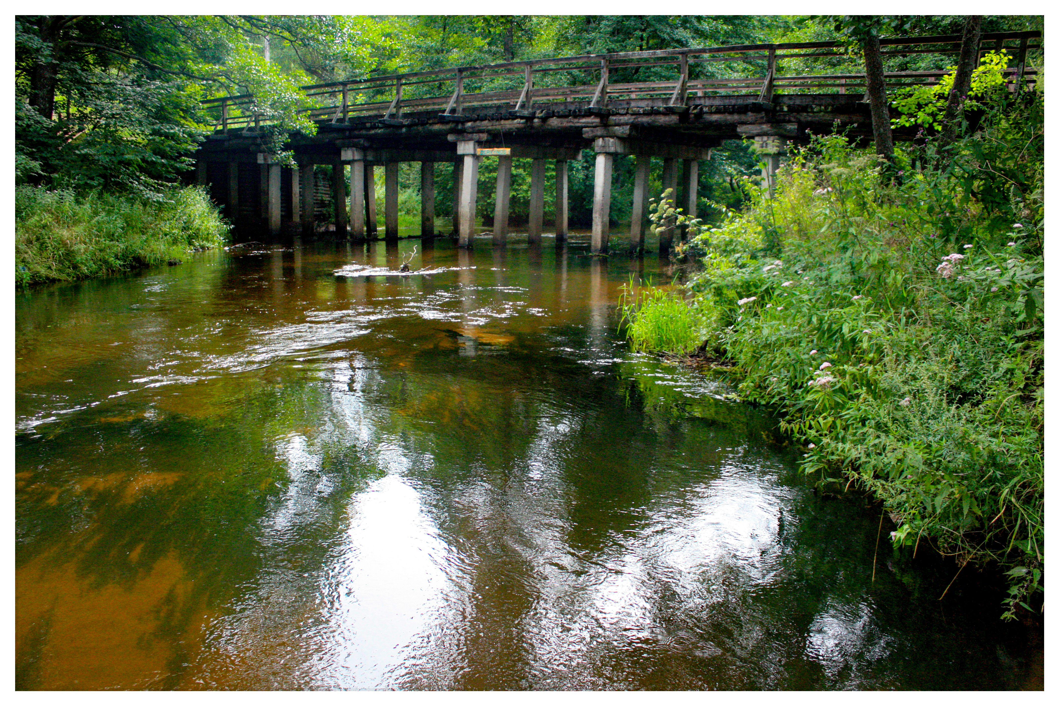
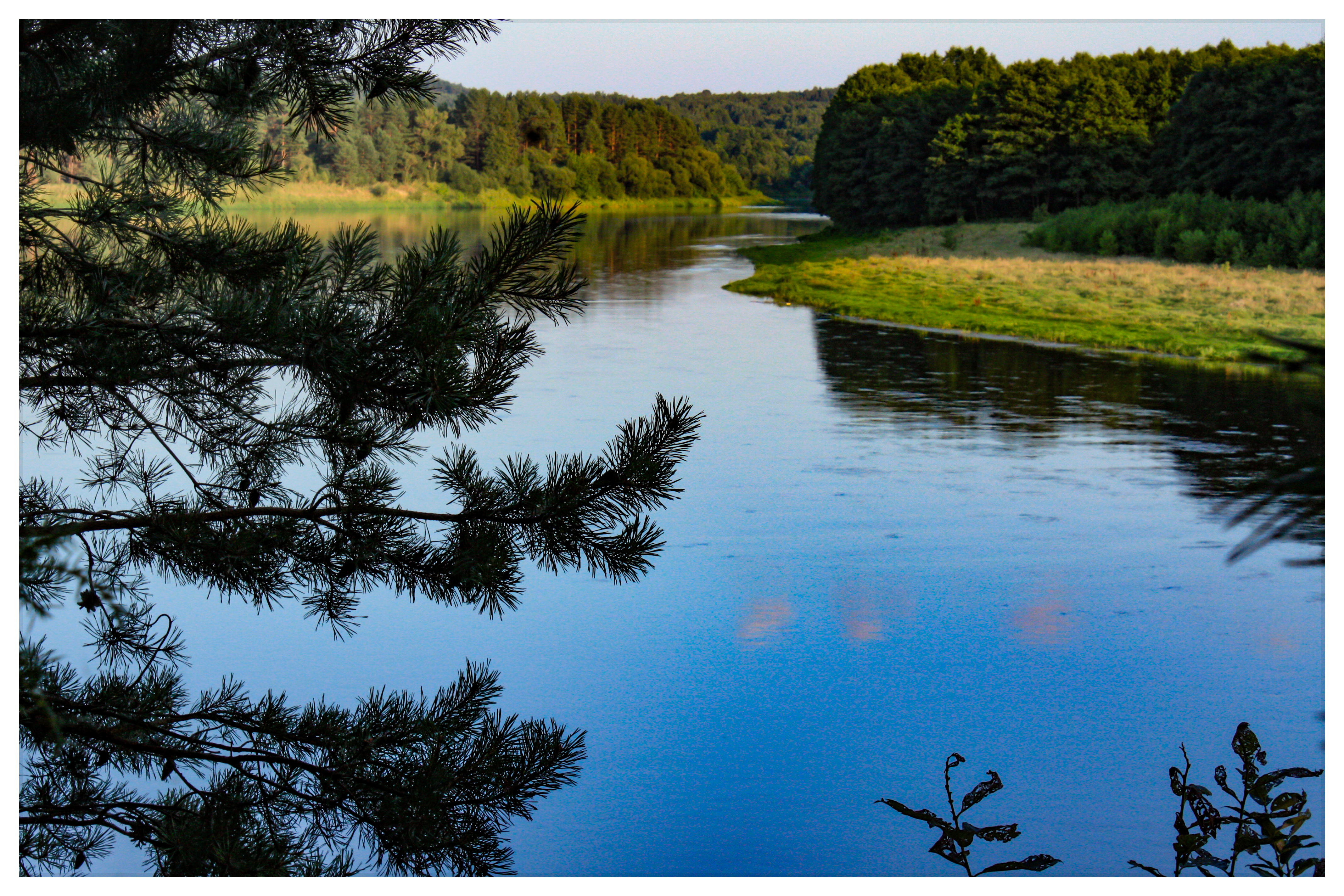
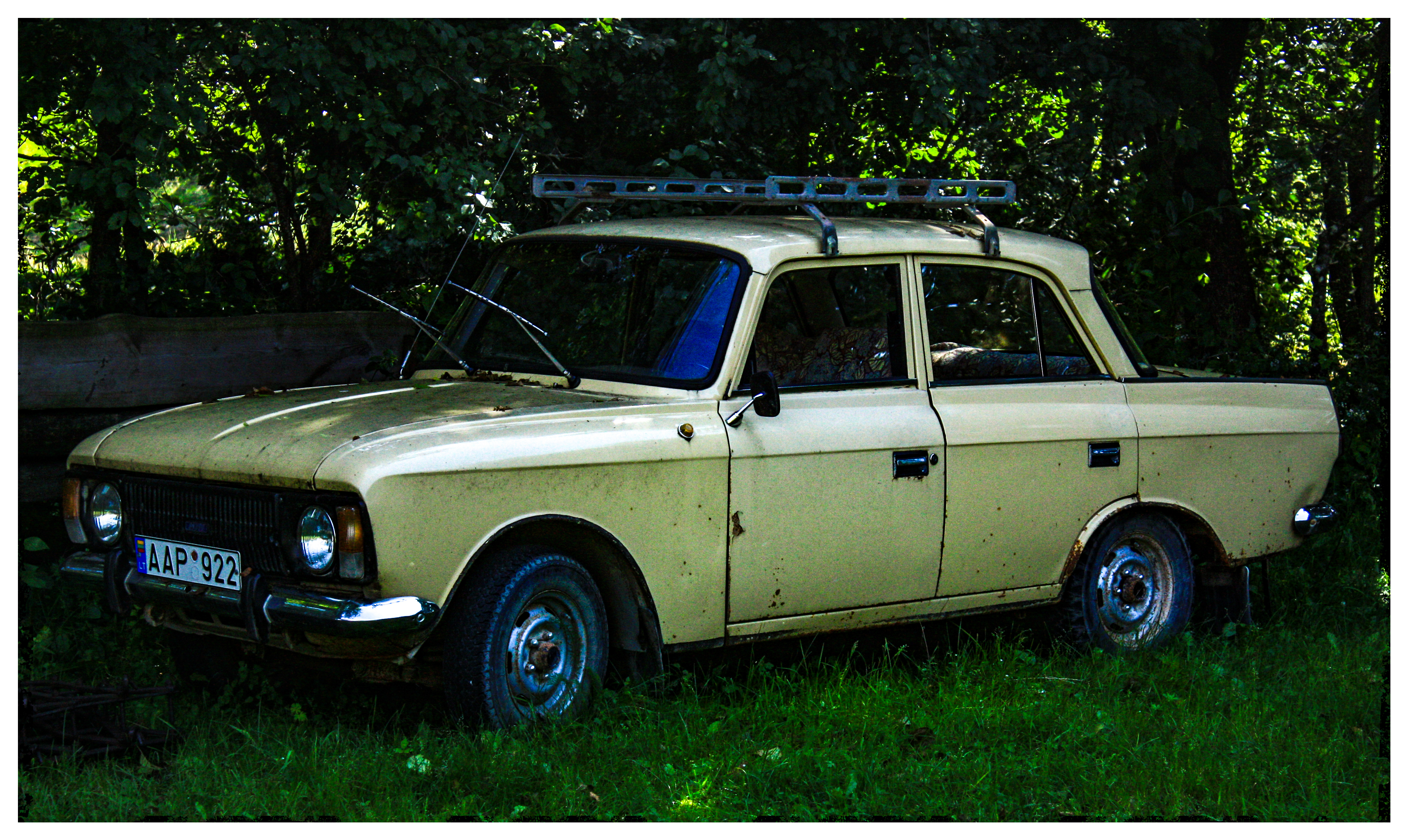
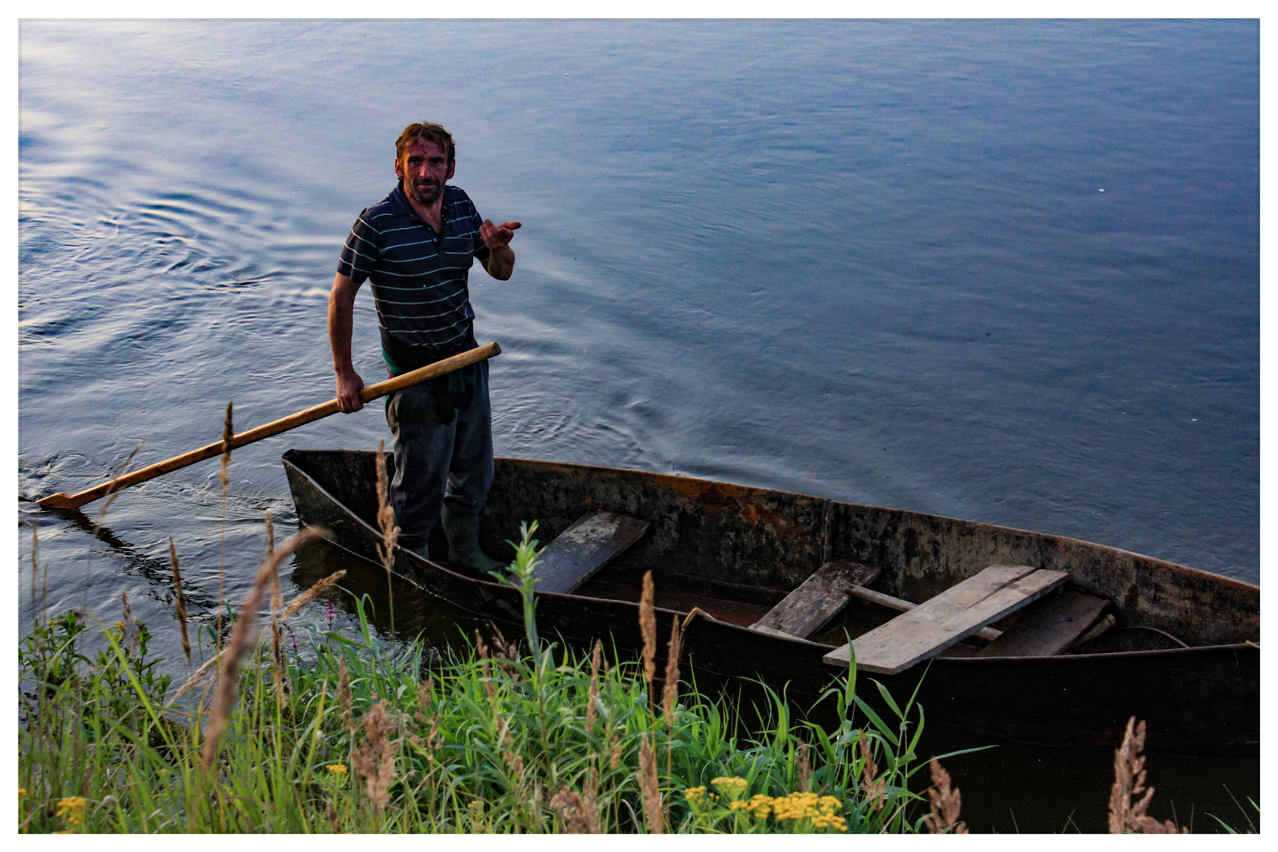
In August 2009 – with my wife and my friends - I flowed 120 km down the Lithuanian rivers: Ula (almost the whole), Merkys (one day part), Nemunas (two days). The expedition had started in small-town Dubičiai near southern border of Lithuania and finished next to Nemunaitis, not far from Alytus.
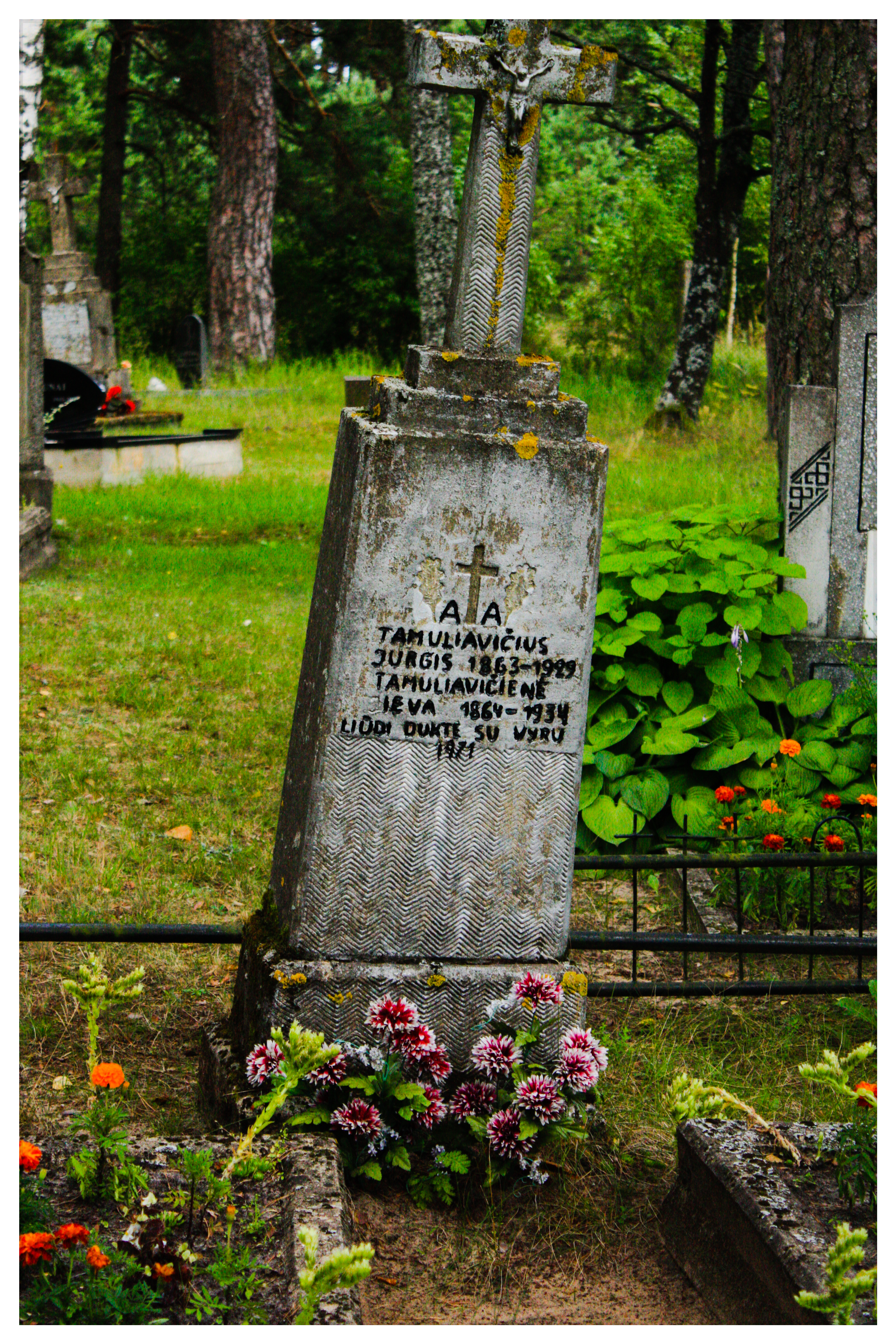
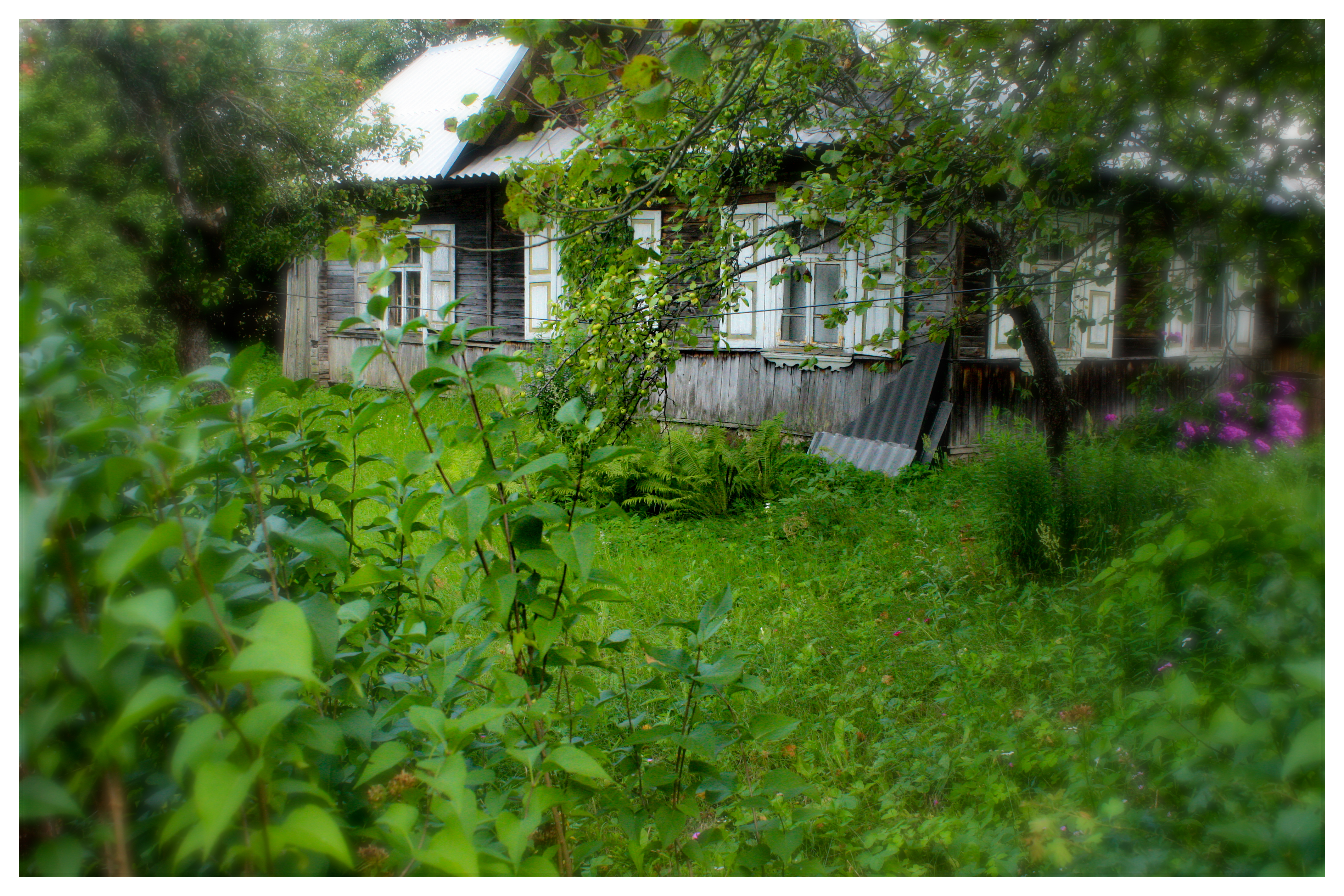
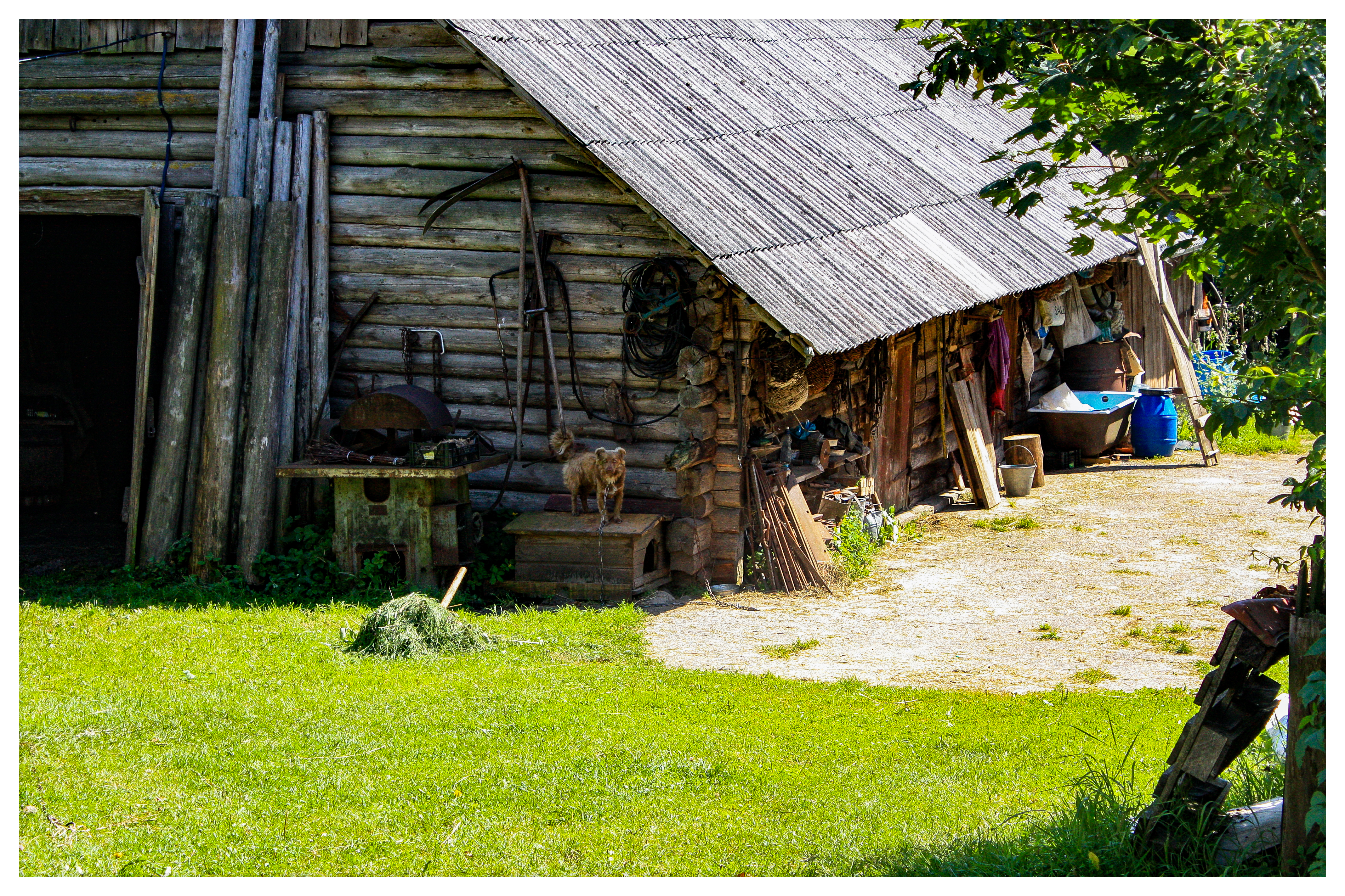
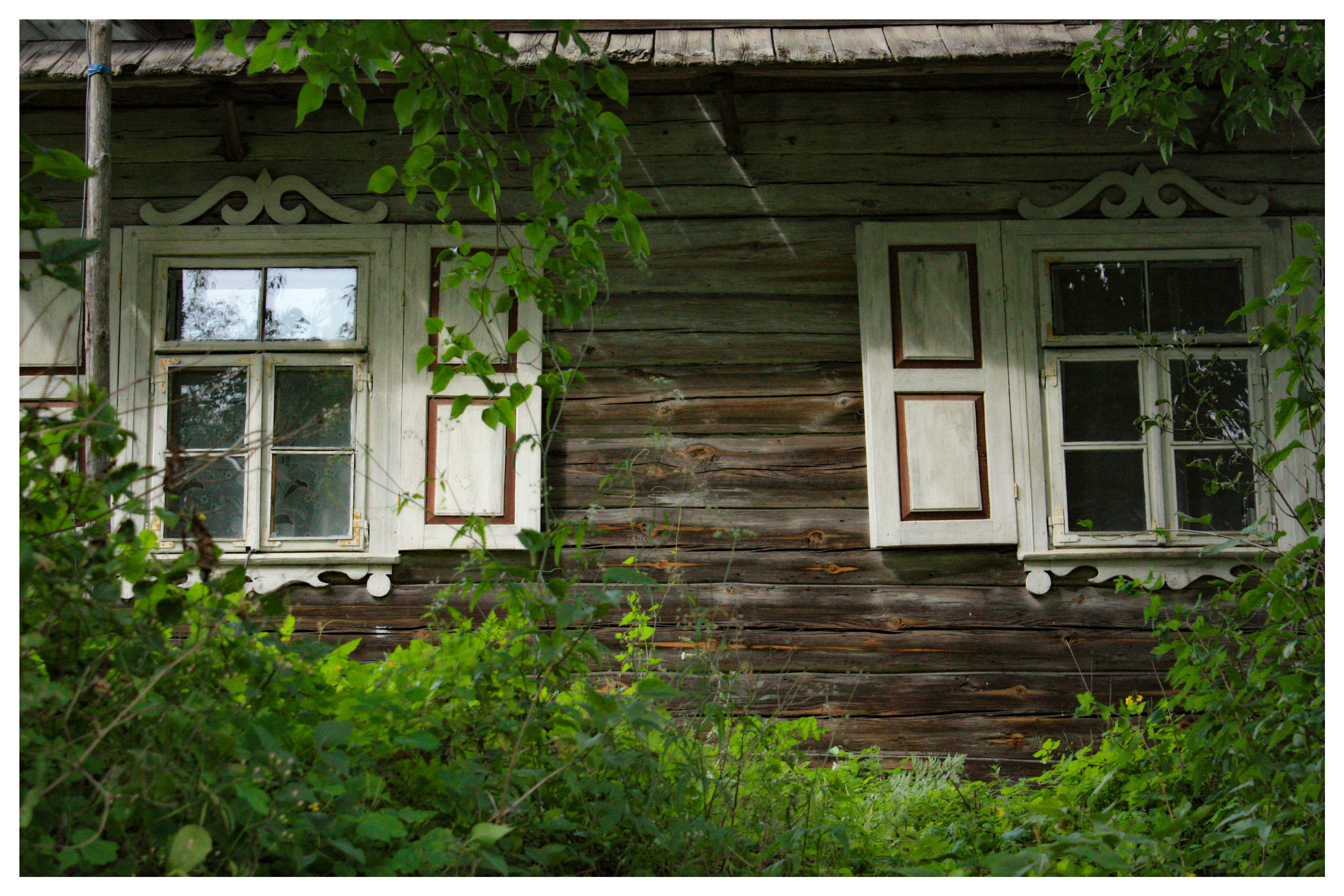
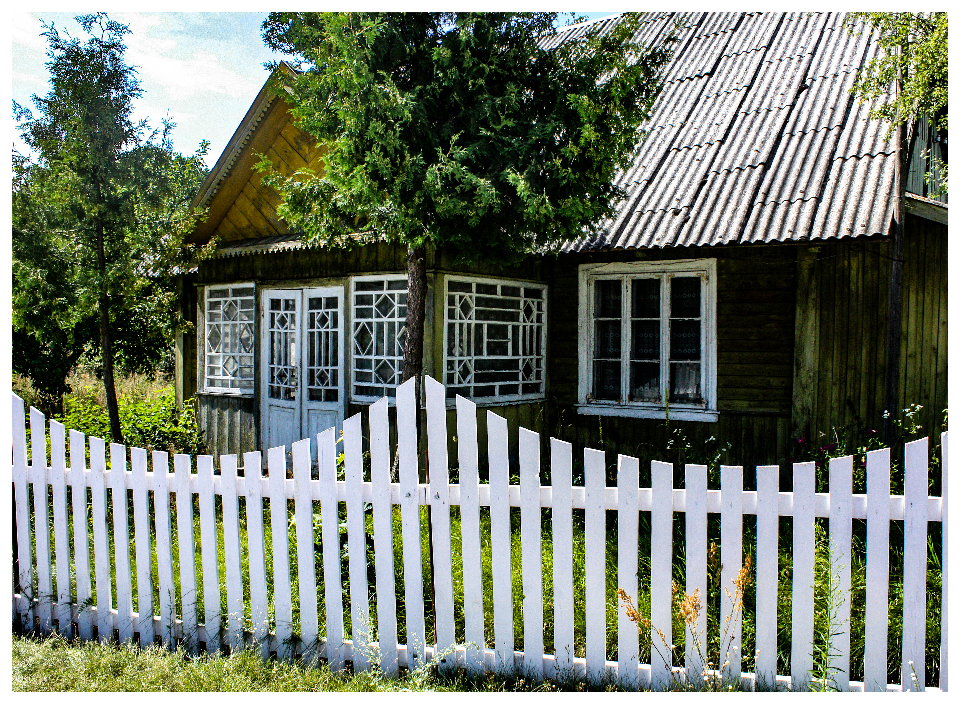
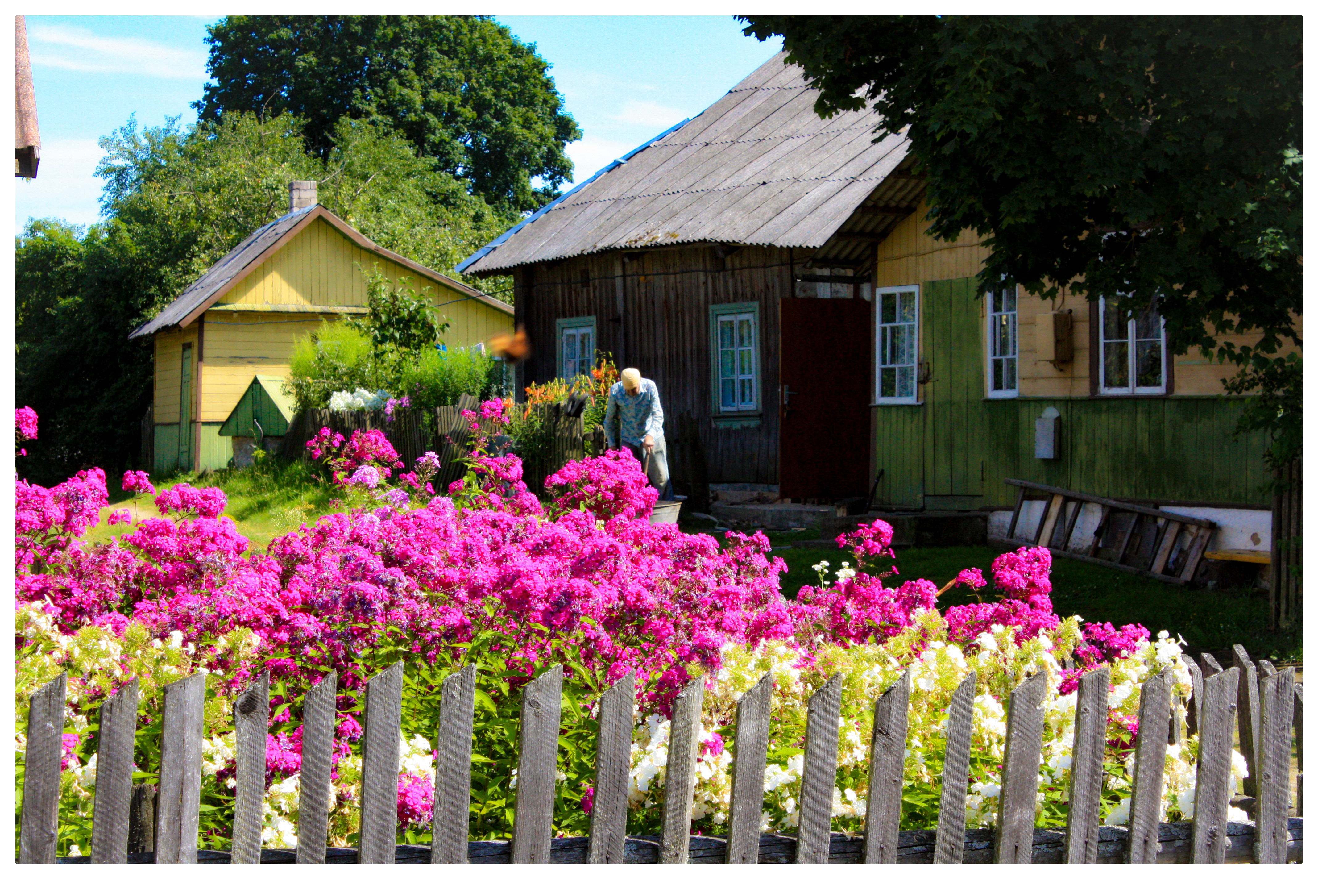
It was a real, fascinating journey into time, a century ago at least. Especially thanks to Zervynos village.


