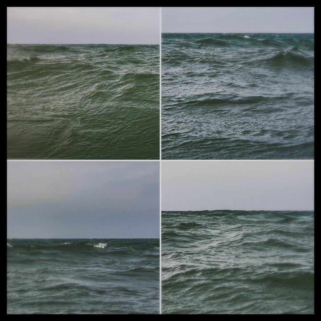
Wind Strength/Sea's State: West and North-West wind, 4-5°B
Weather: Full overcast, partly rainy, temperatures of about 18°C, waves - from small to large (up to 1 m) on the Harbour's entrance 1.5m.
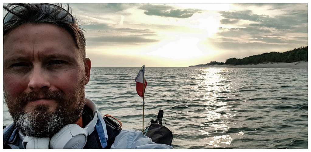
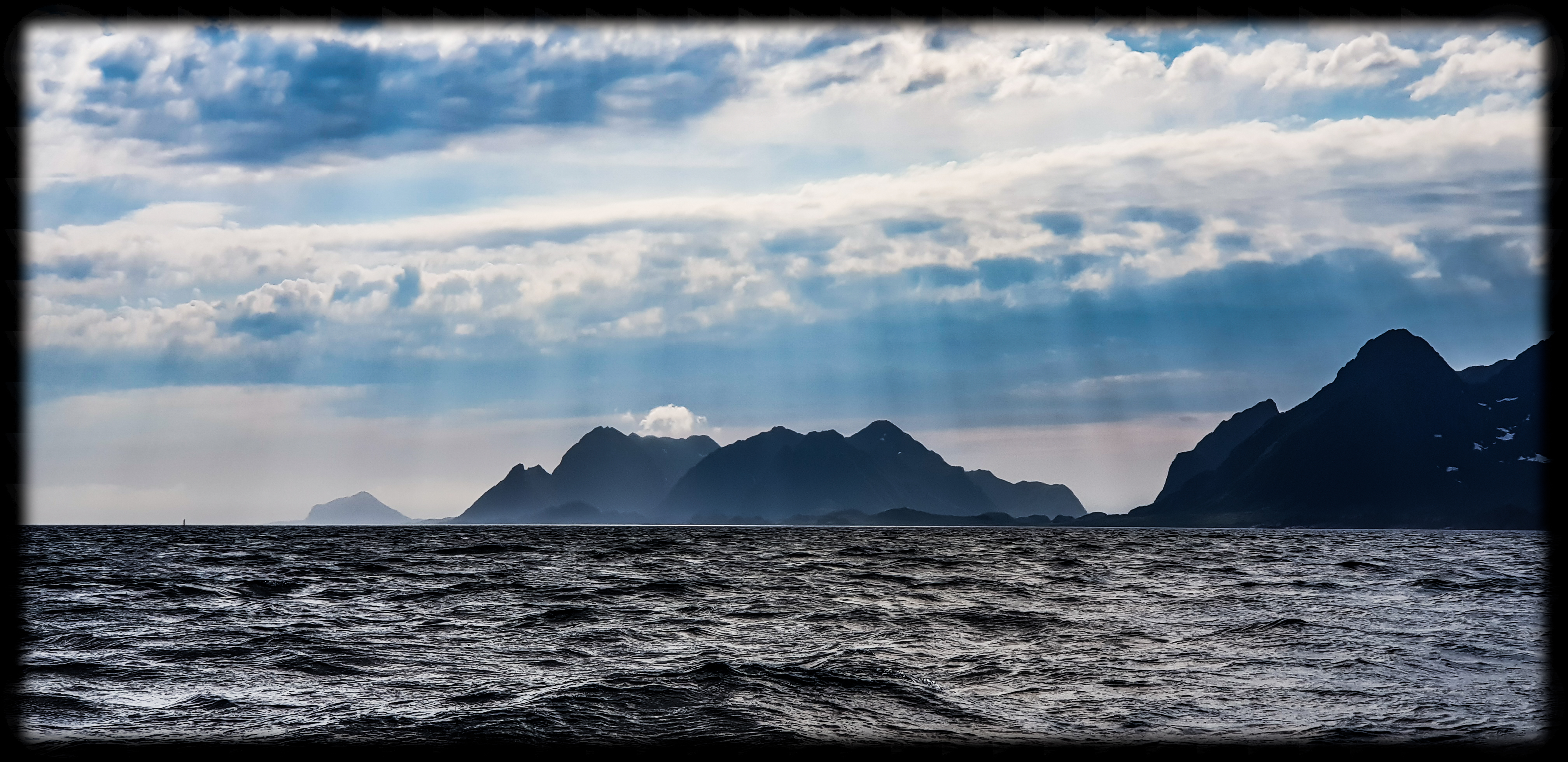
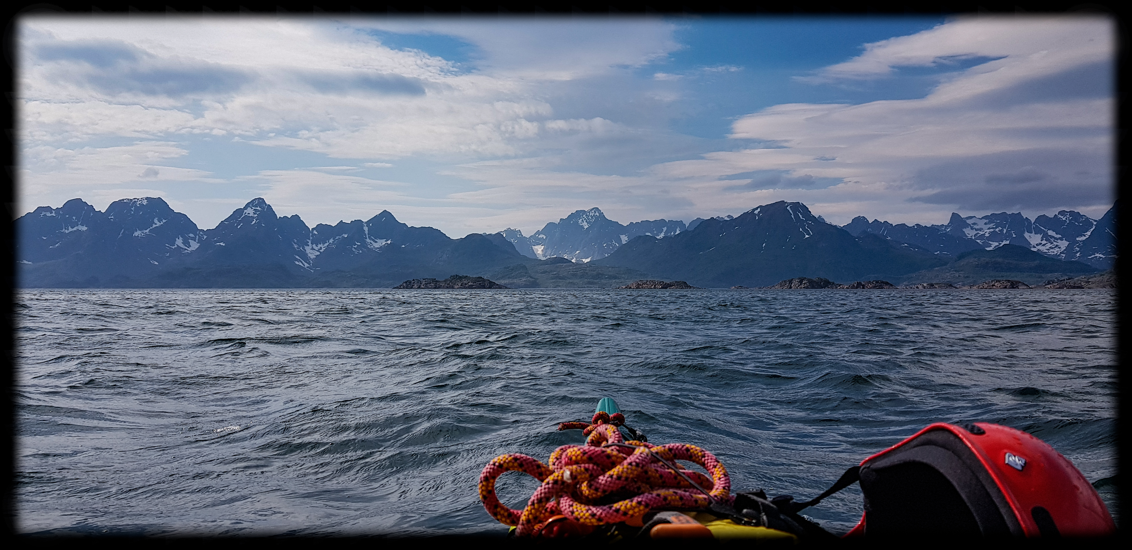
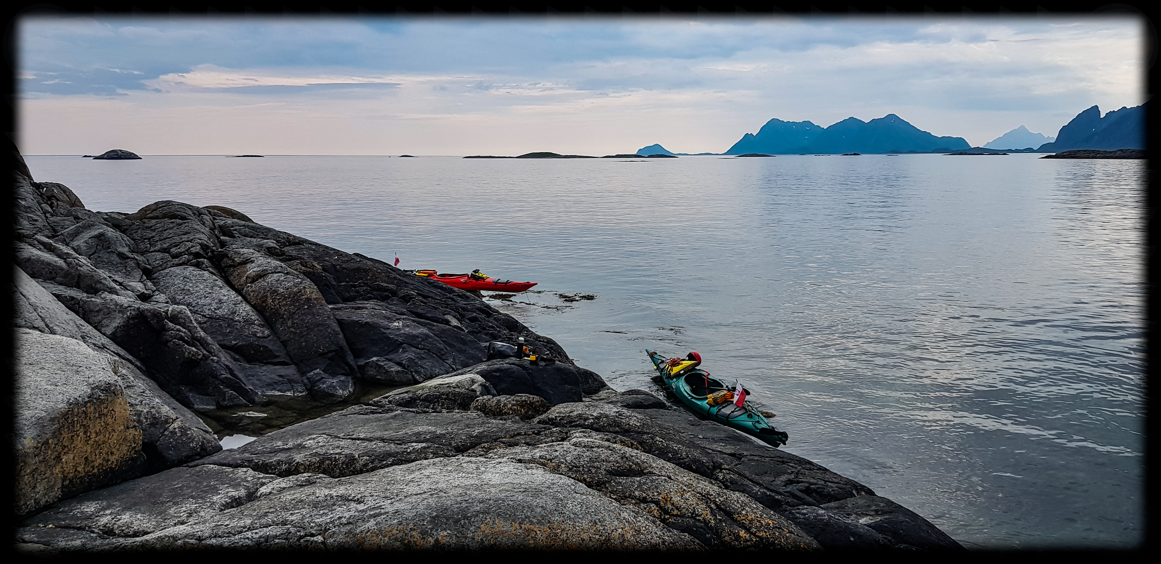
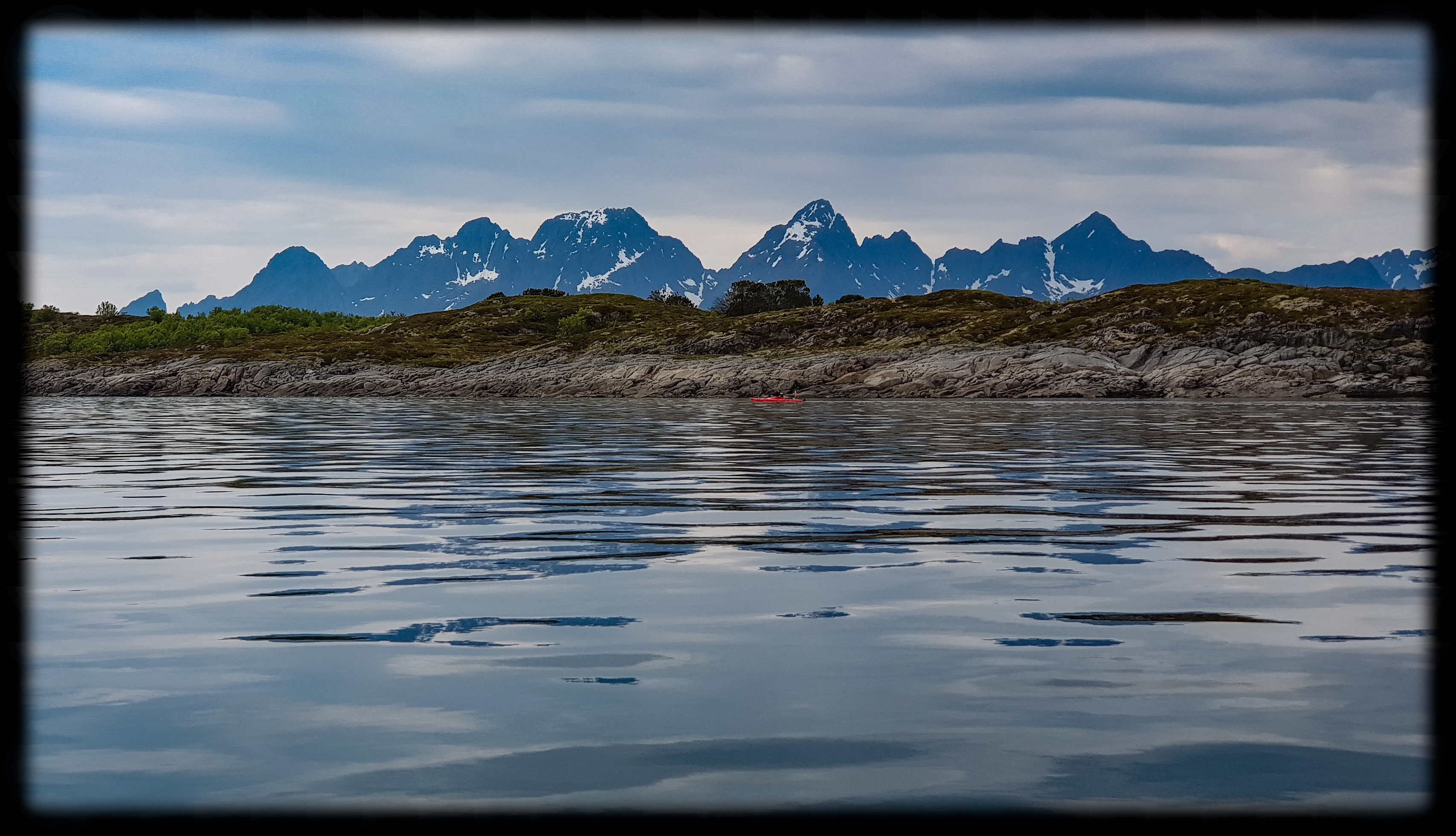
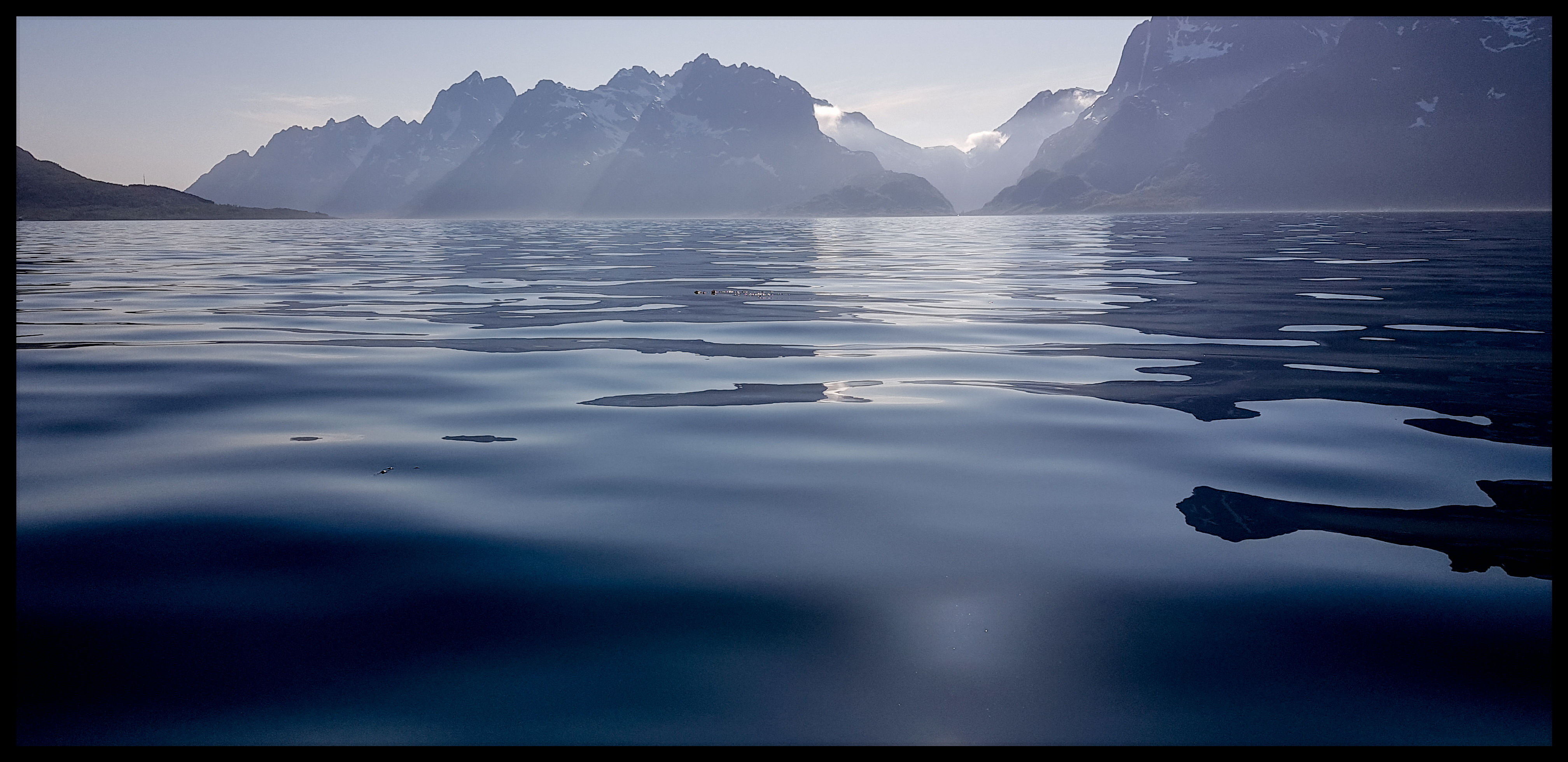
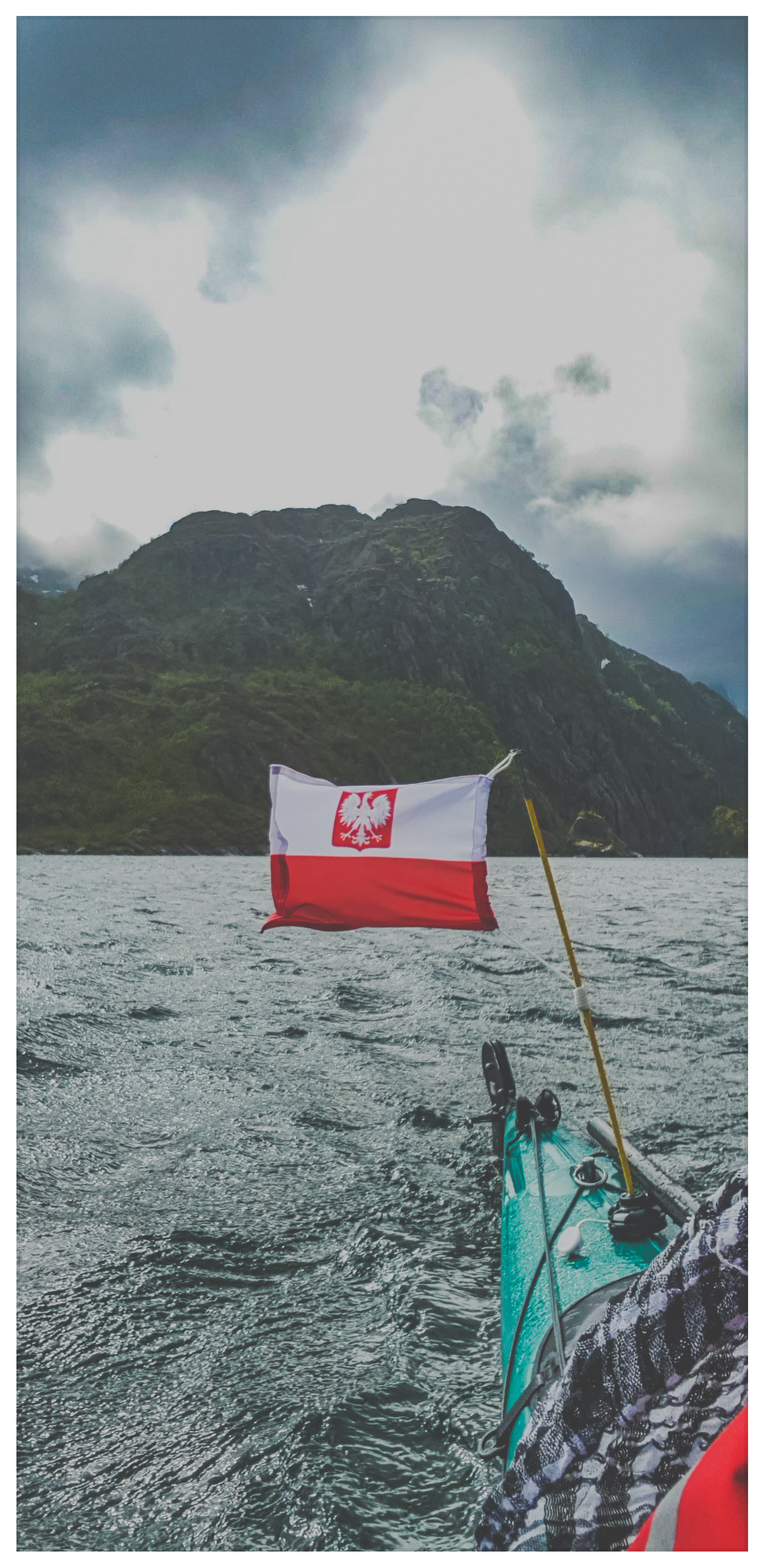
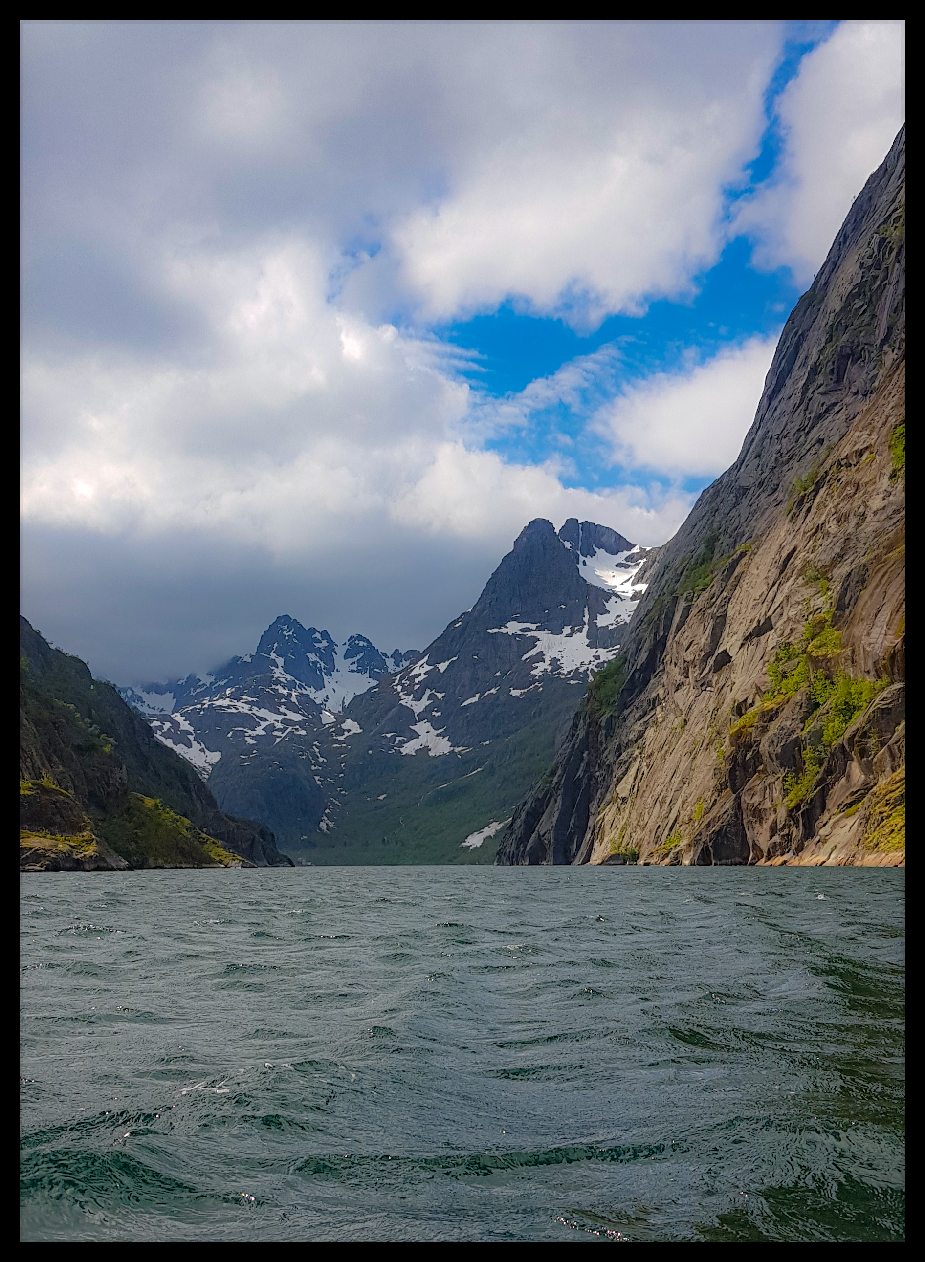
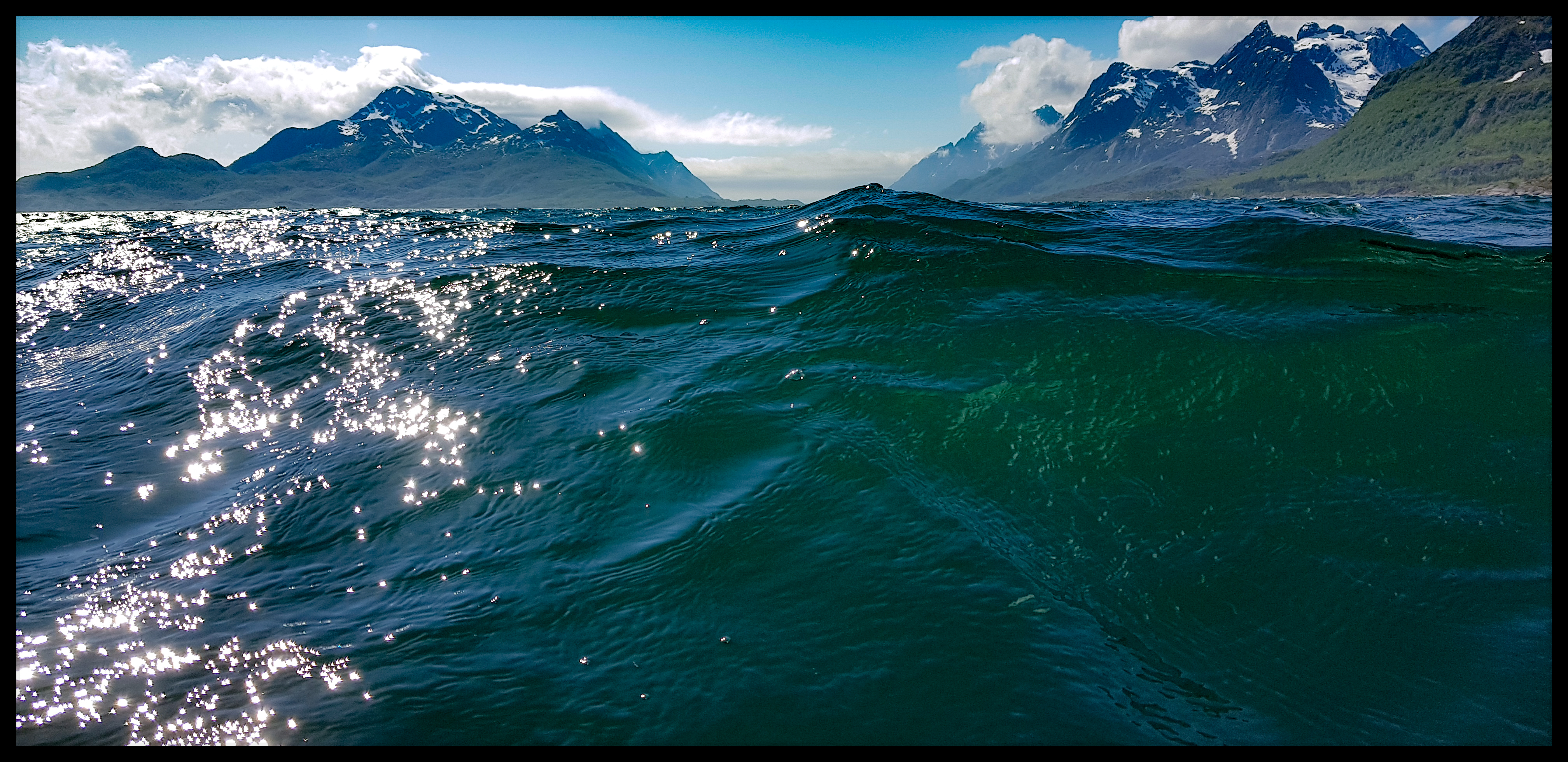
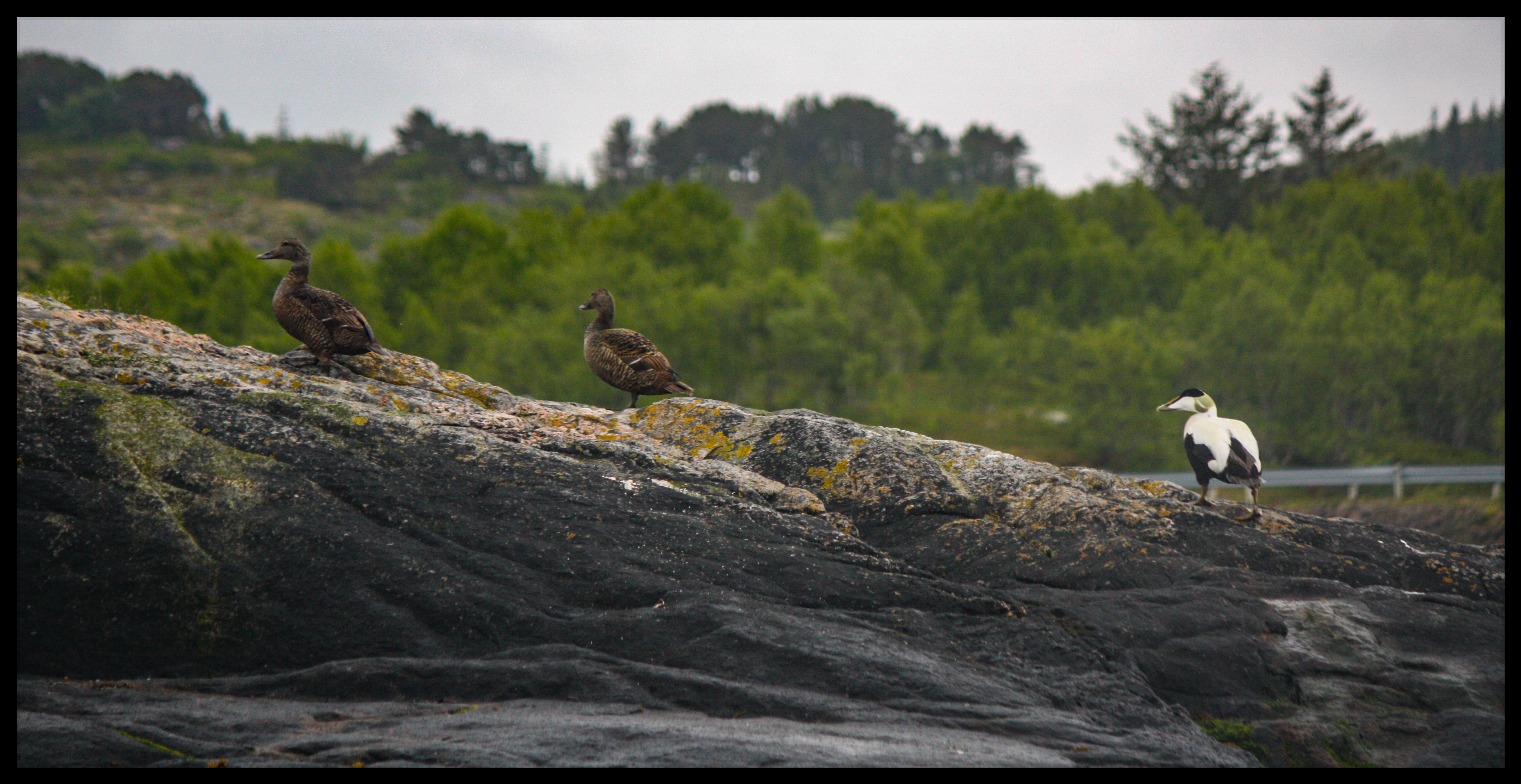
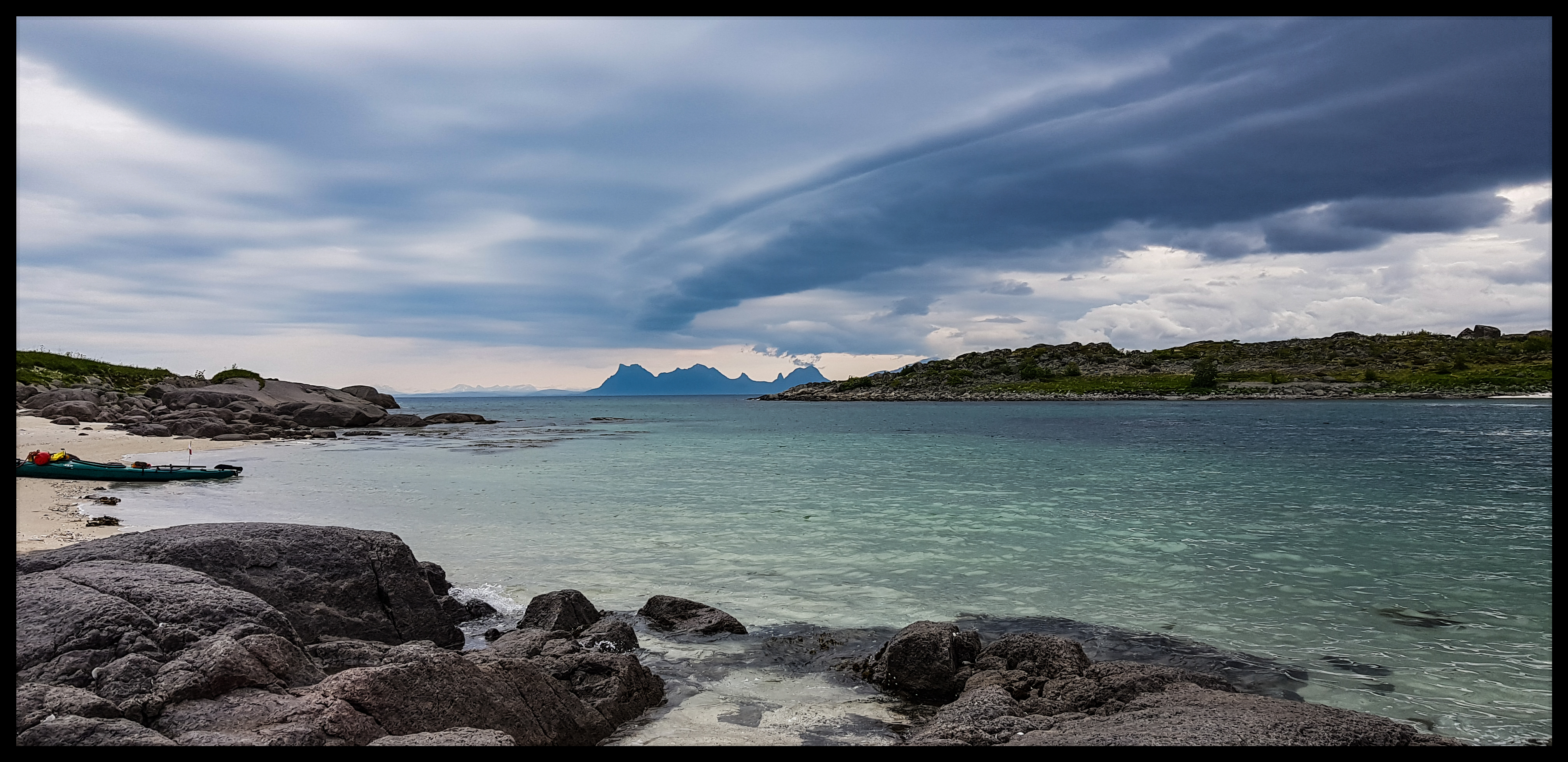
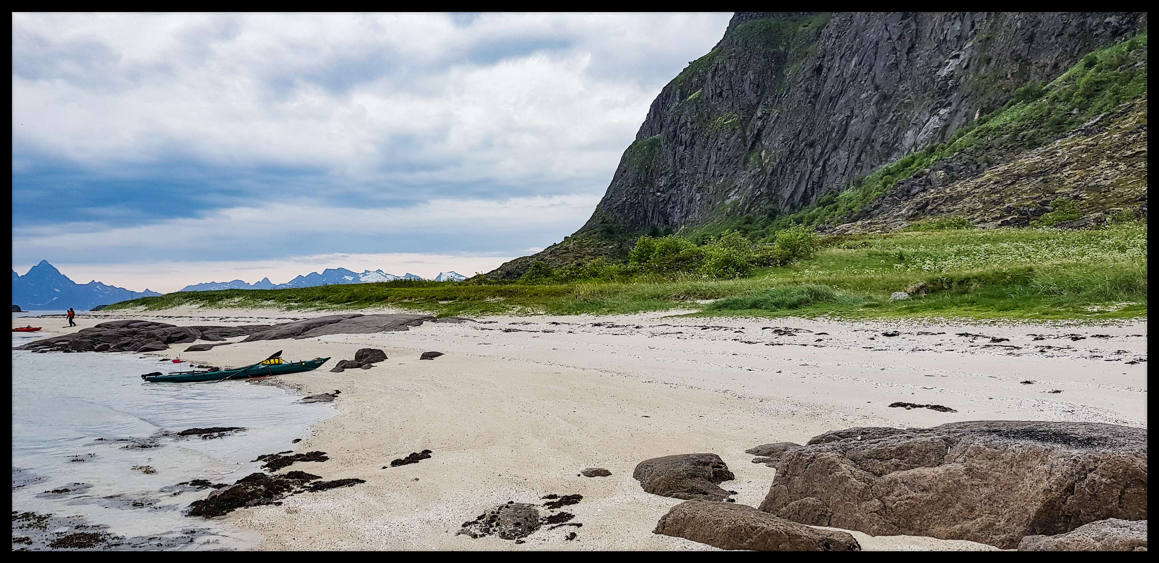
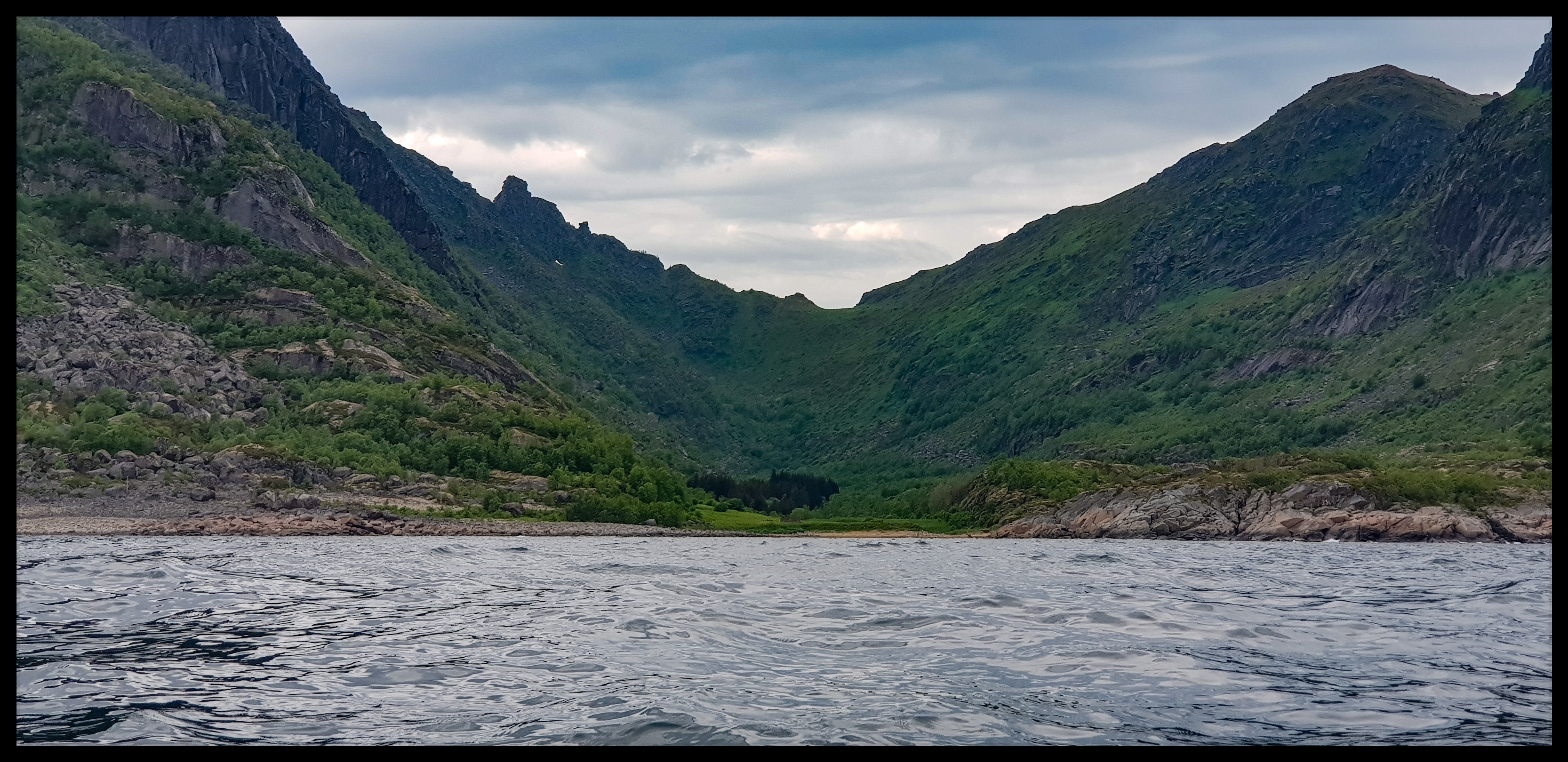
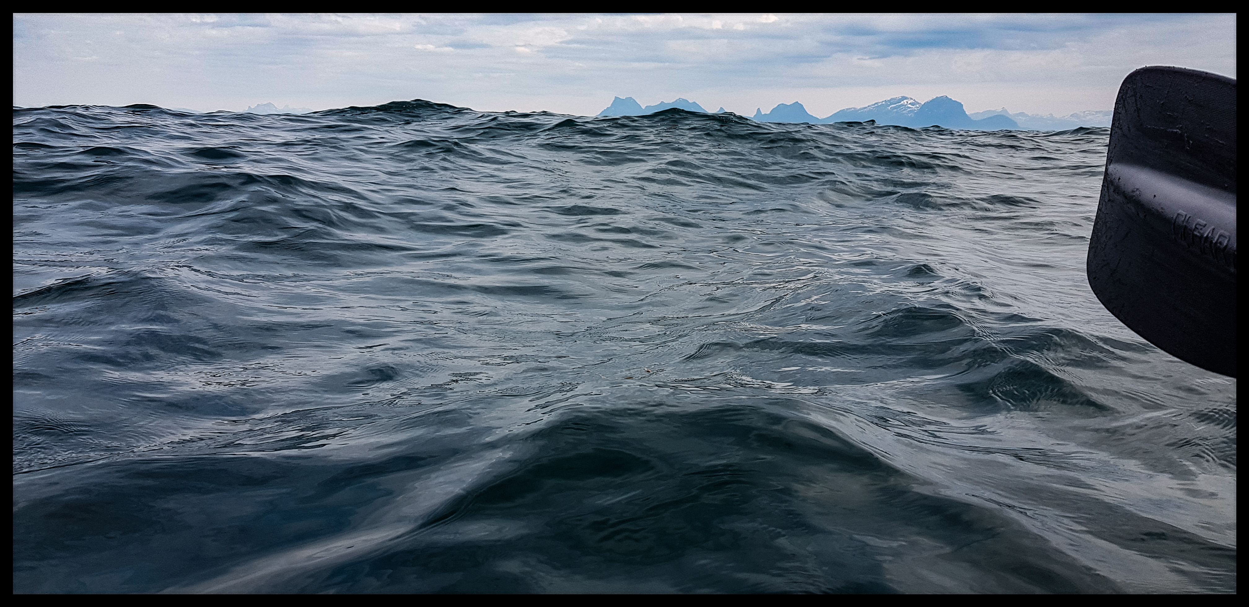
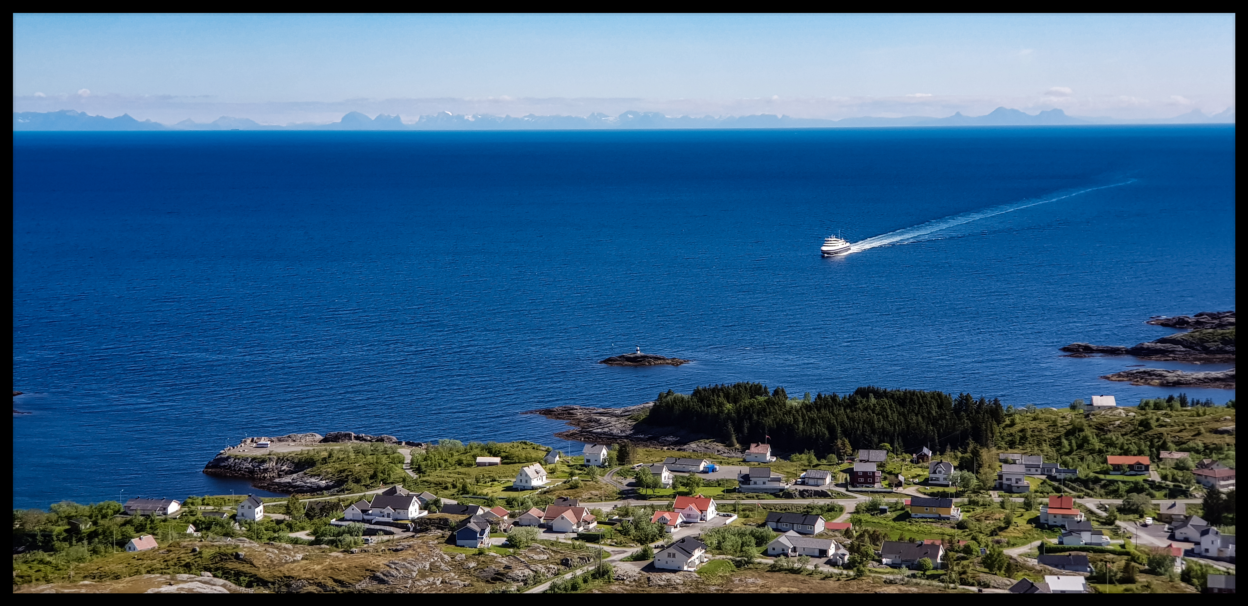
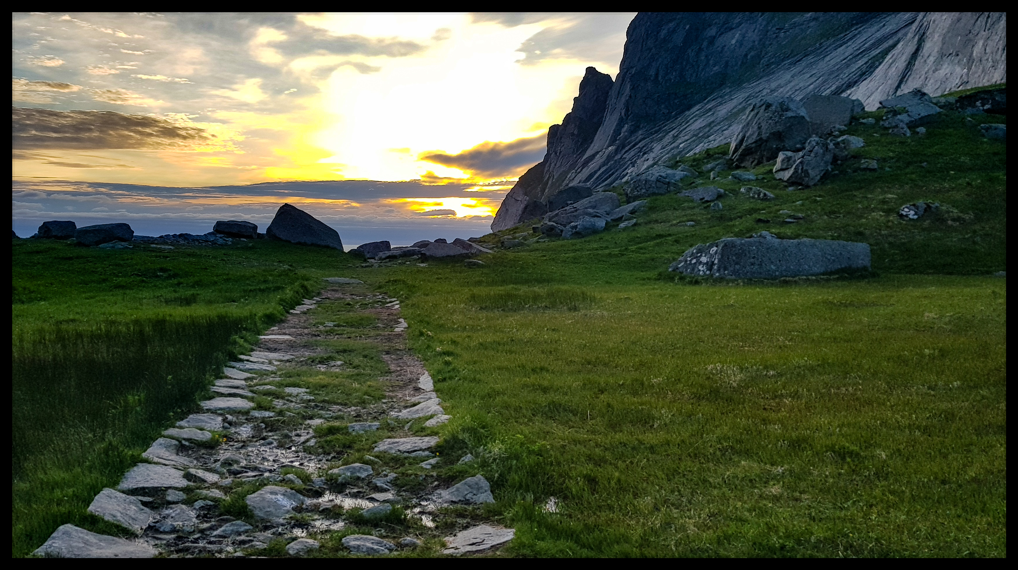
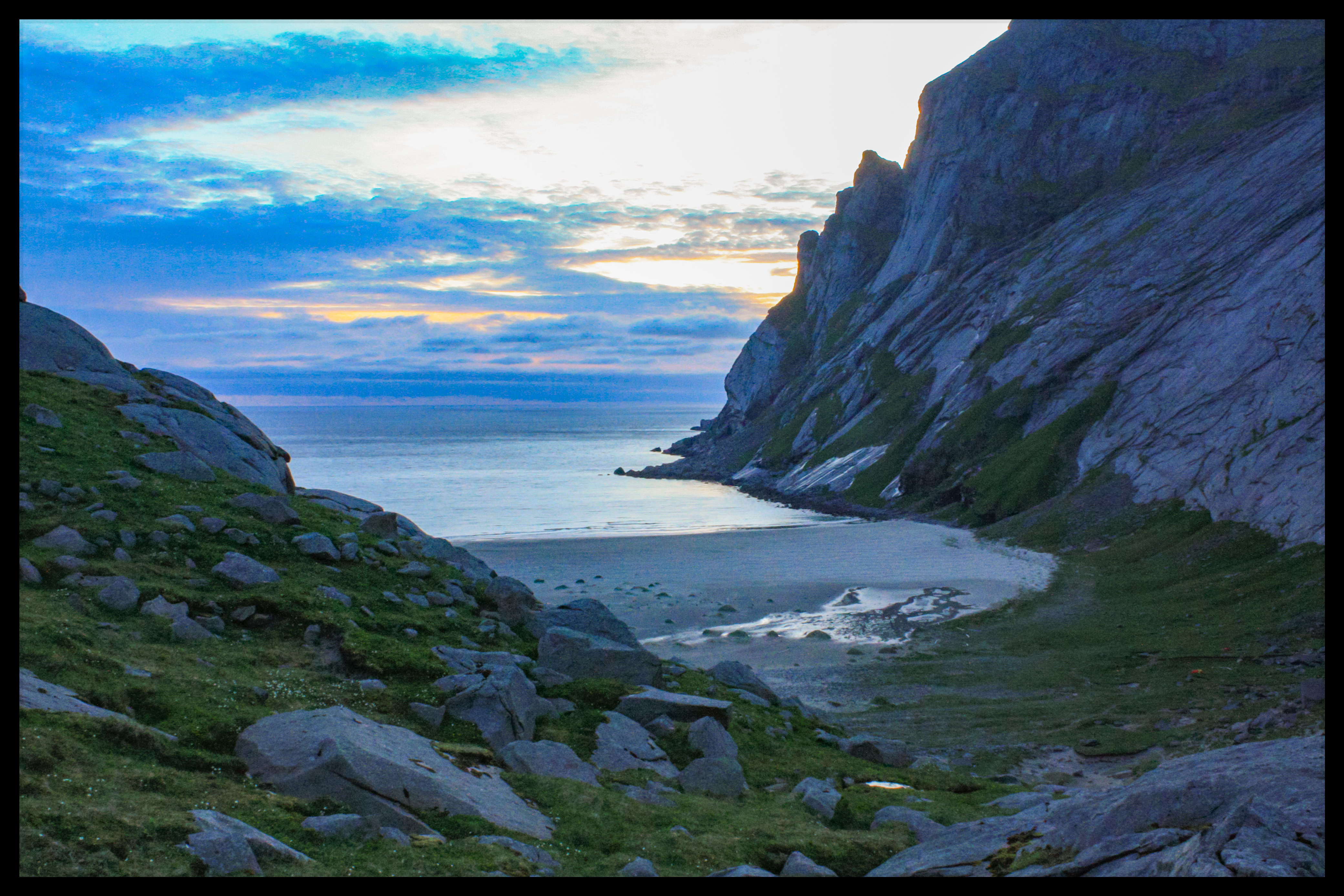
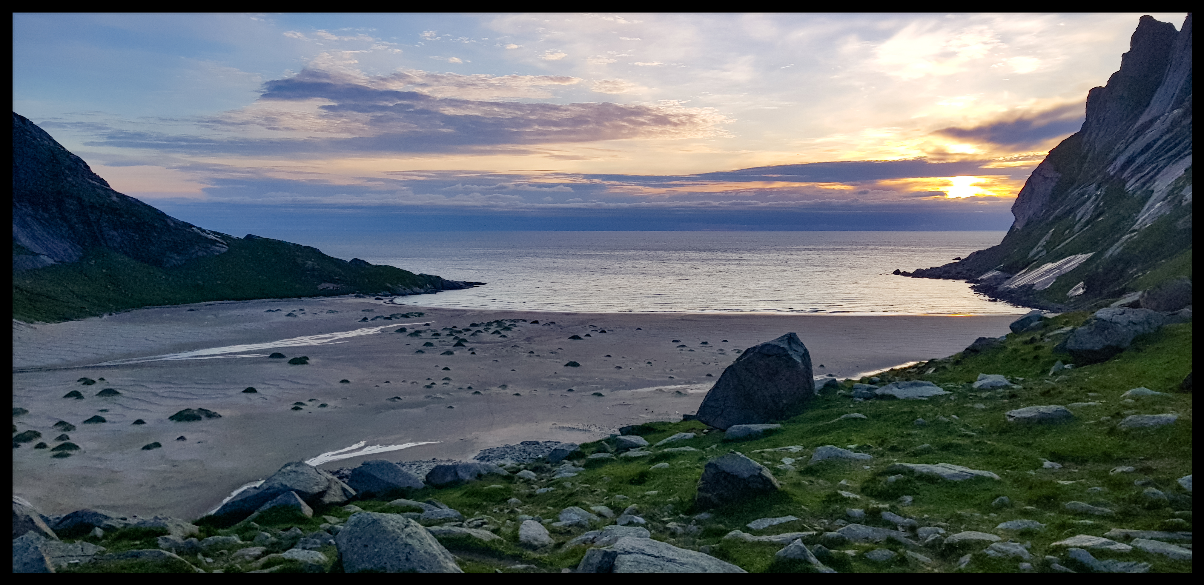
The Lofoten Archipelago
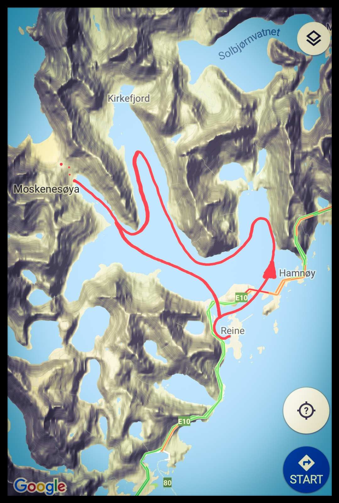
Arsteinen
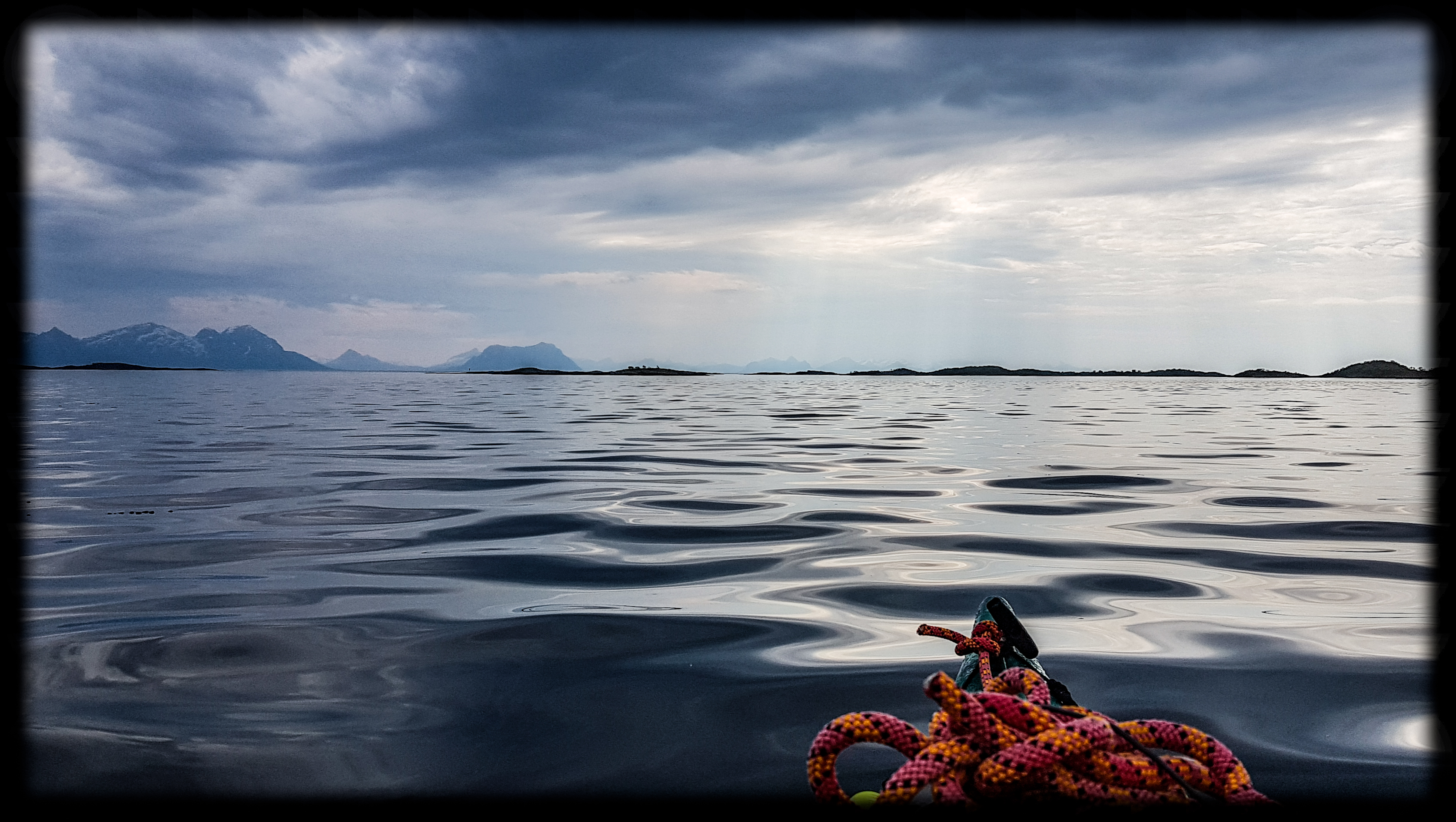
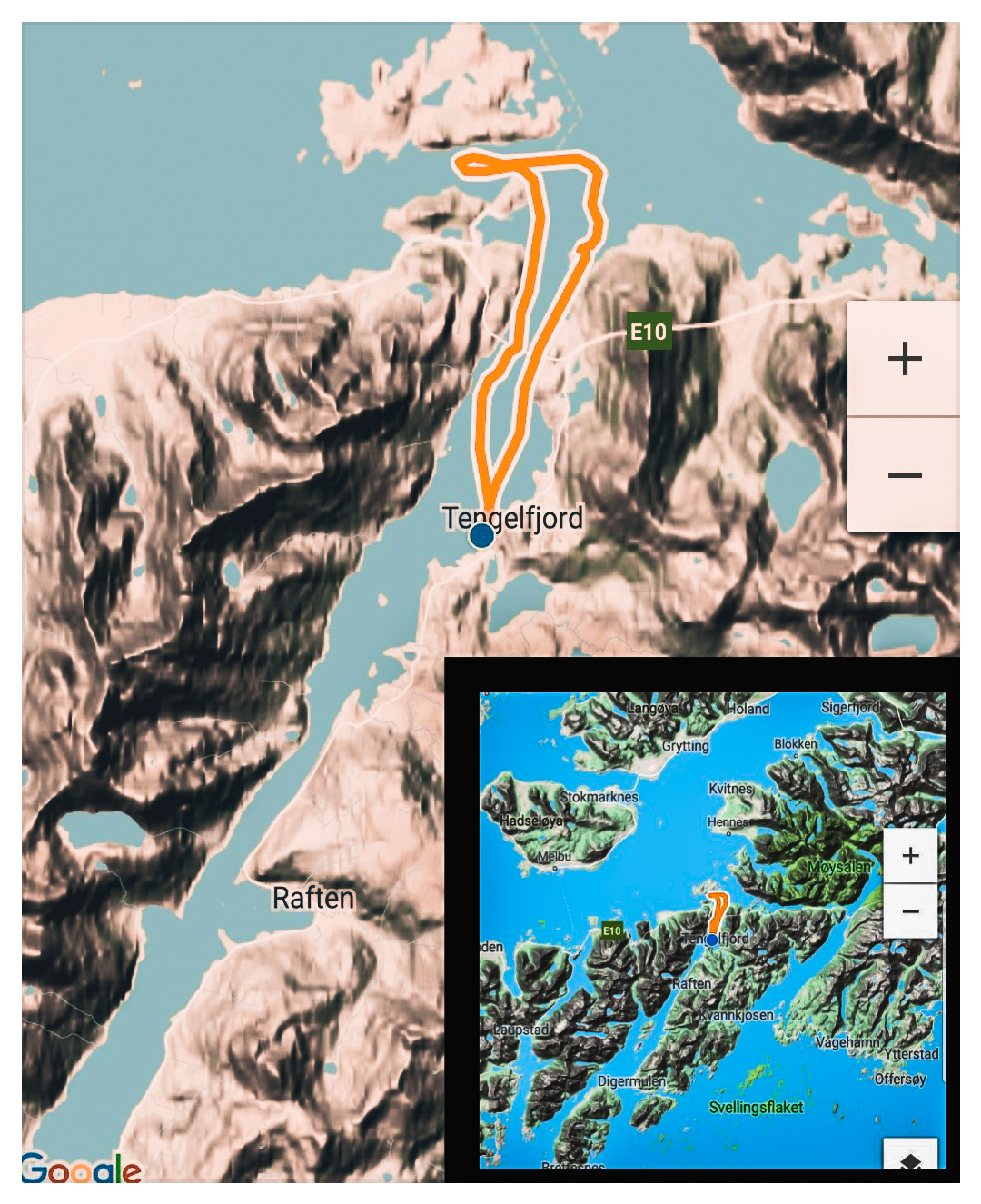
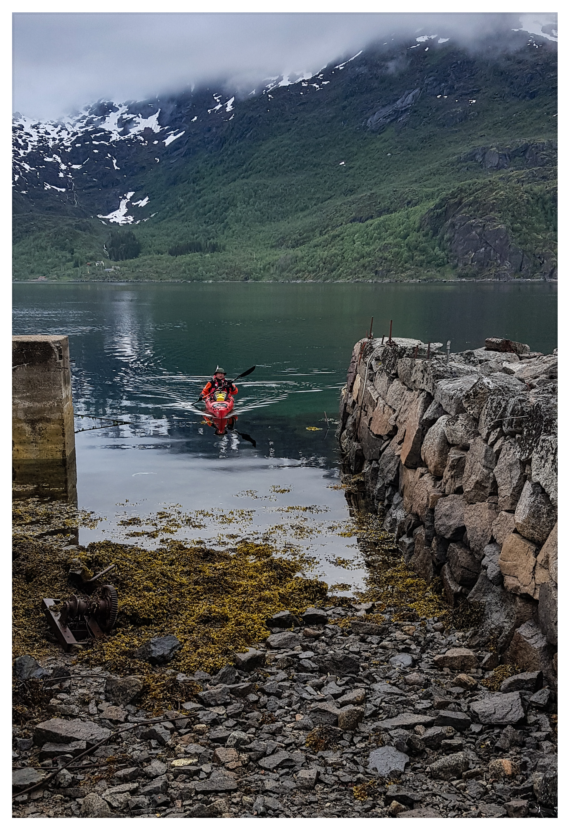
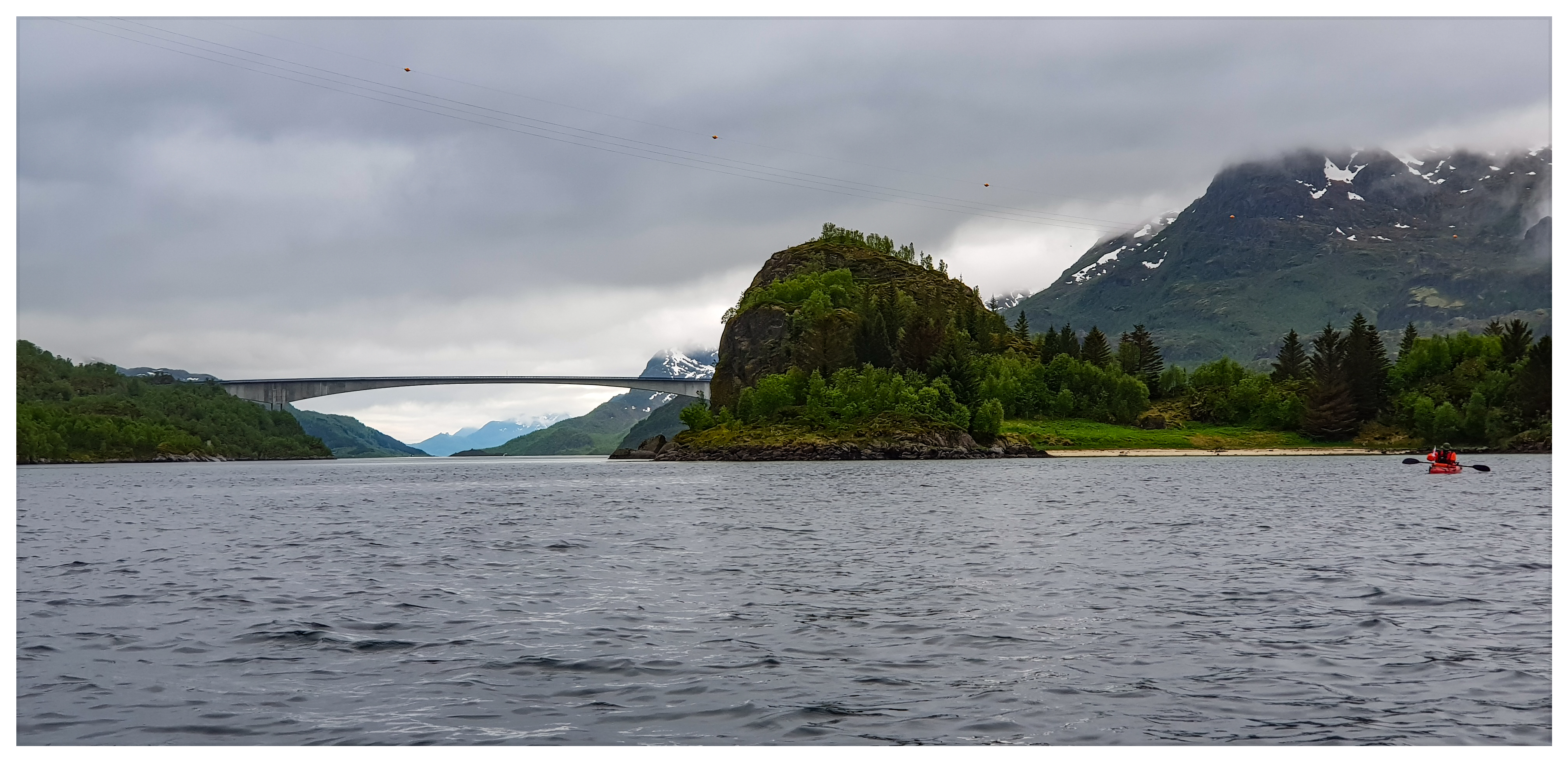
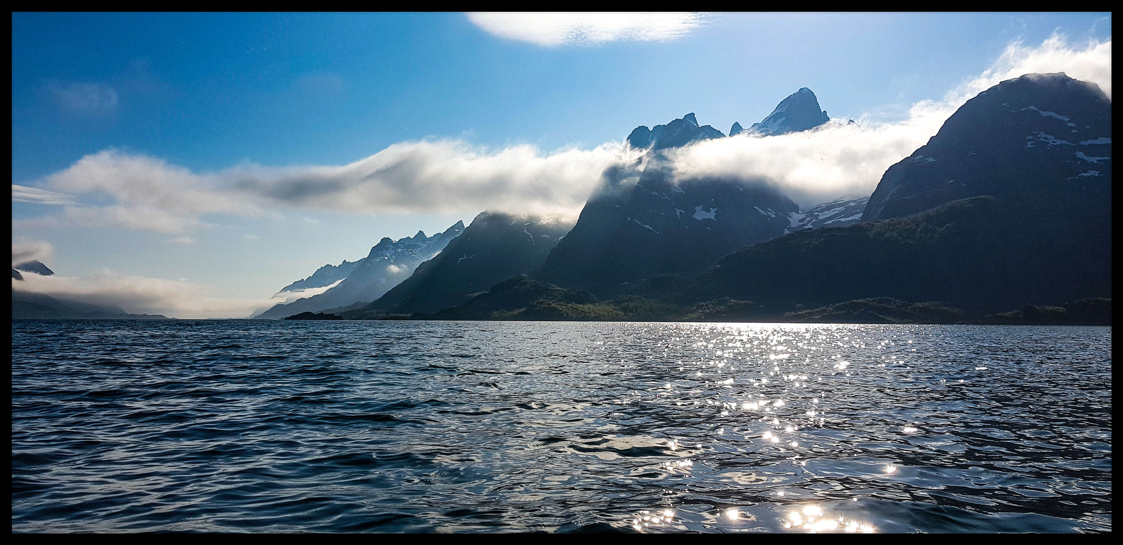
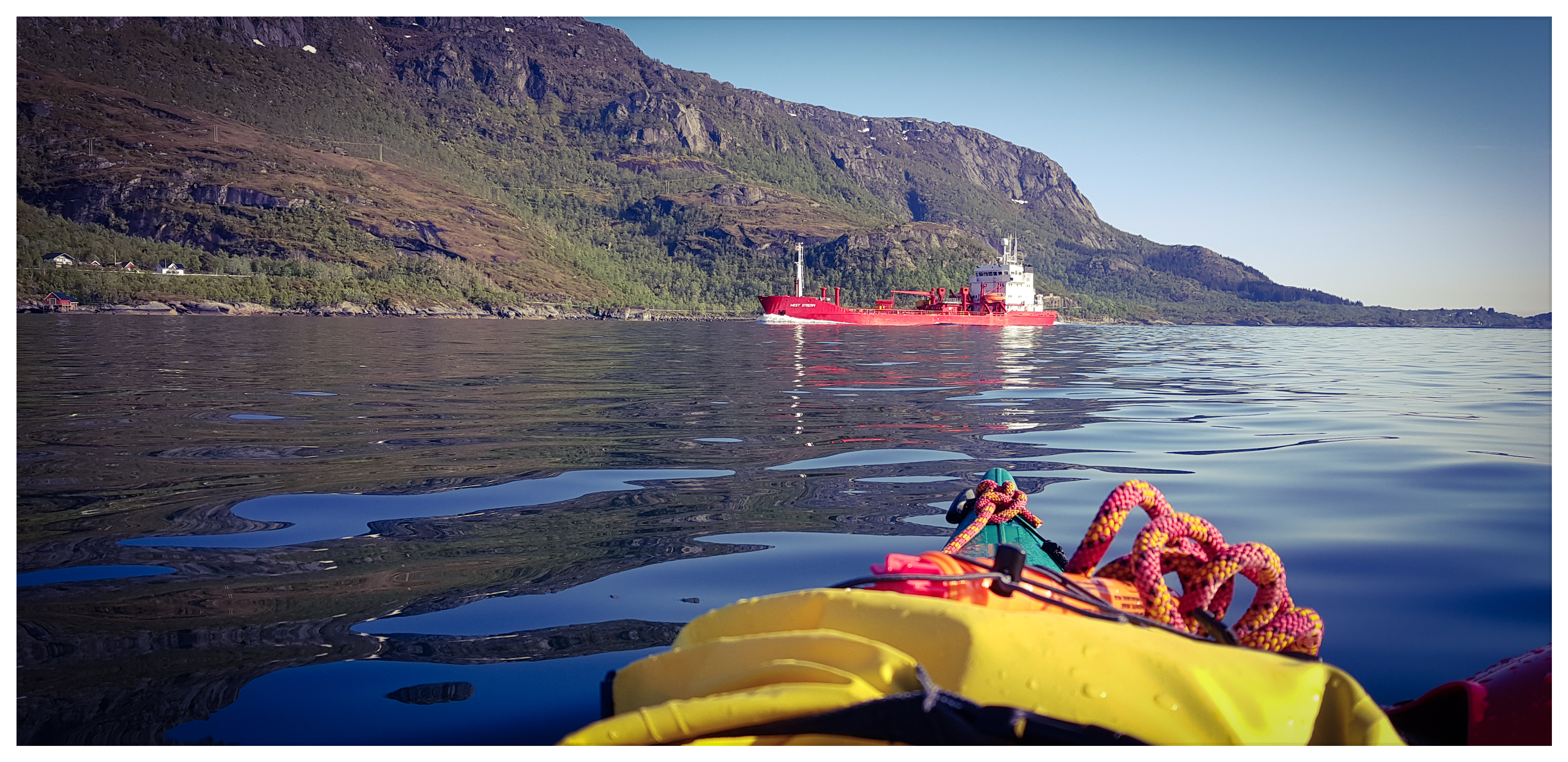
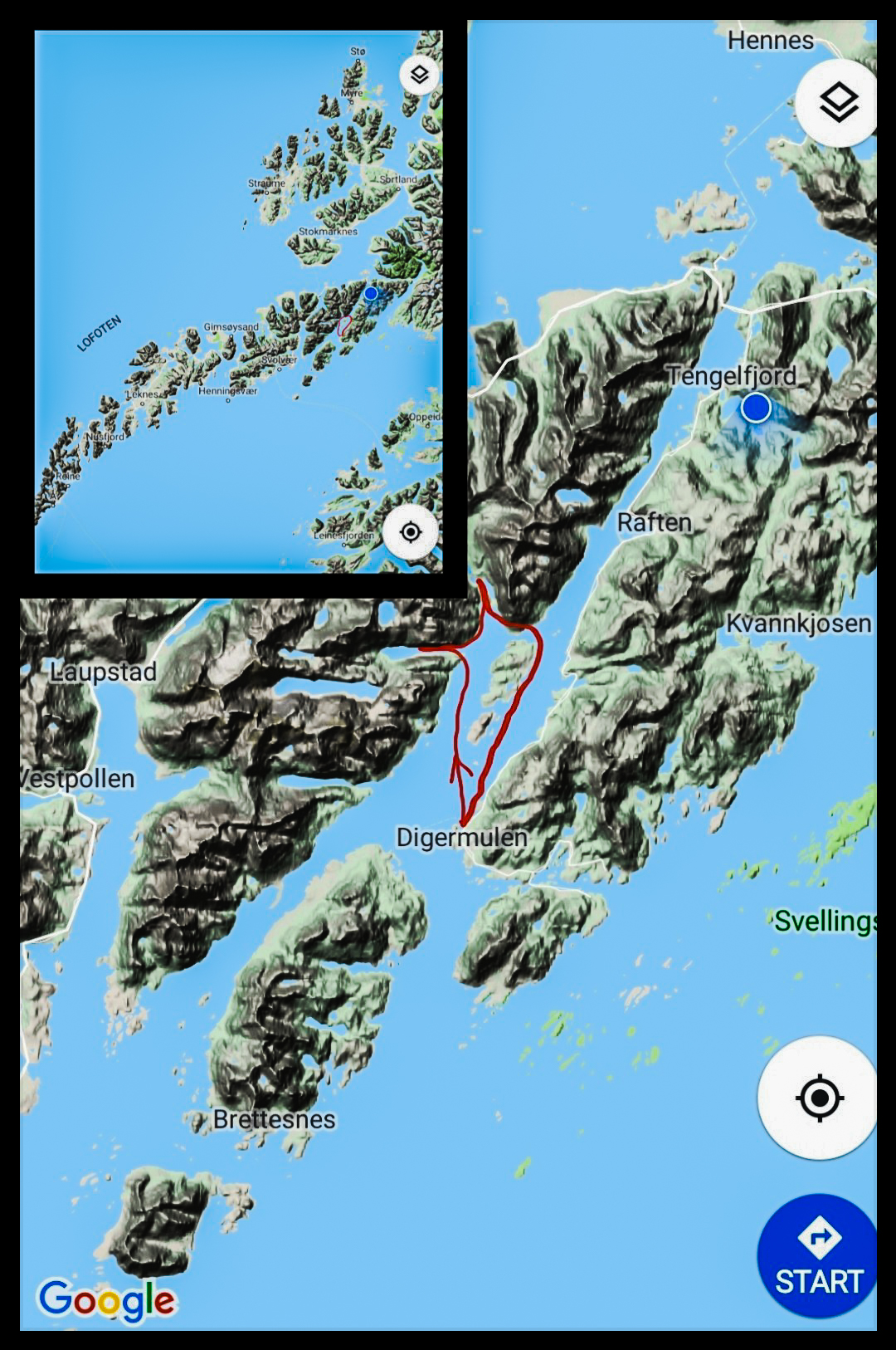
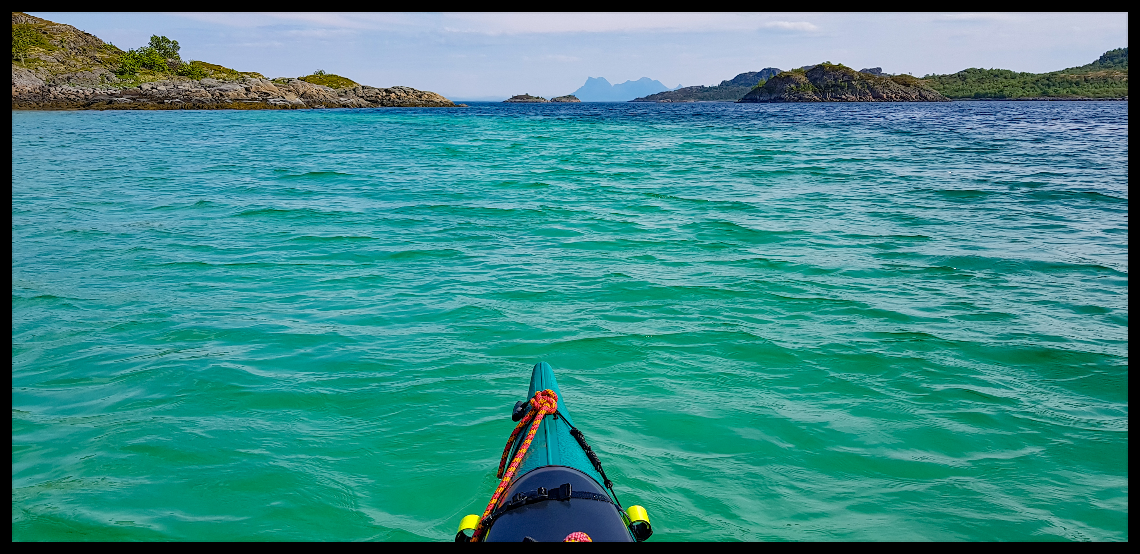
Tengelfjord
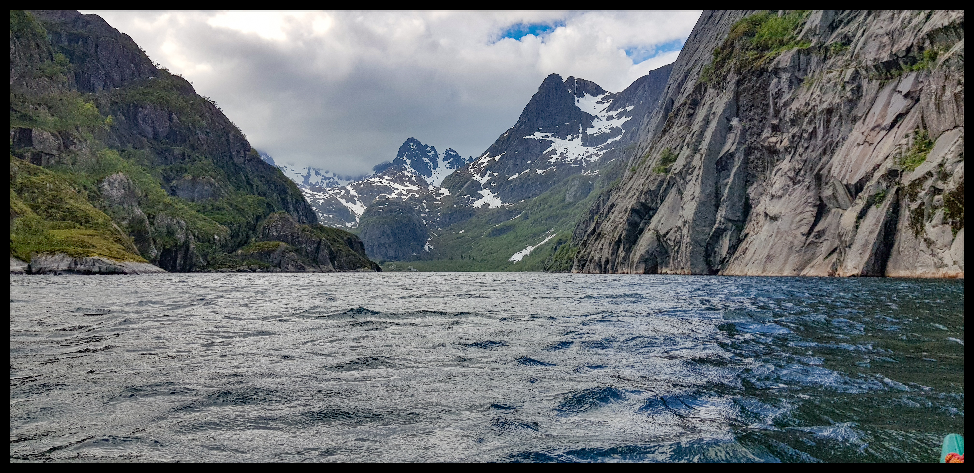
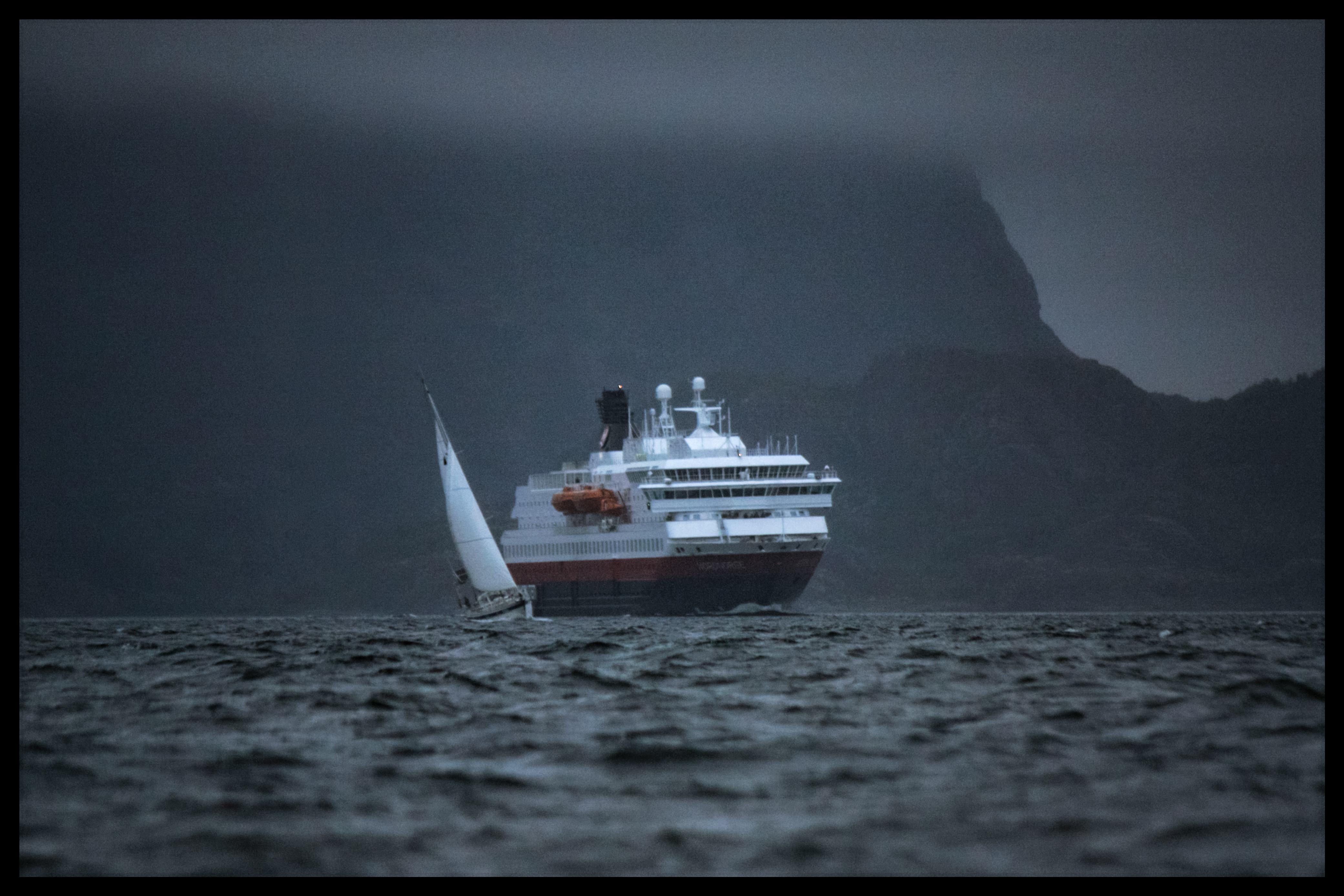
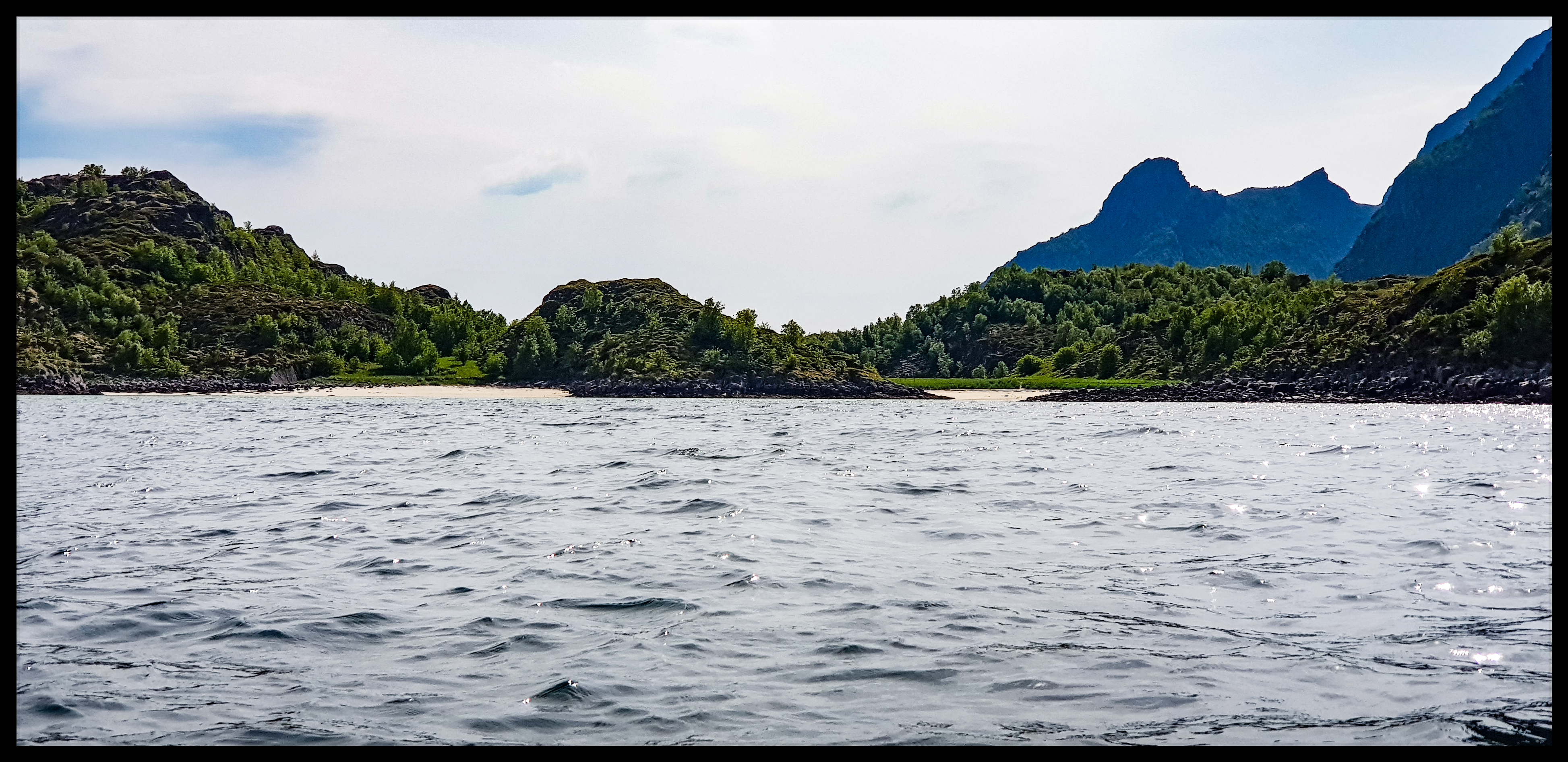
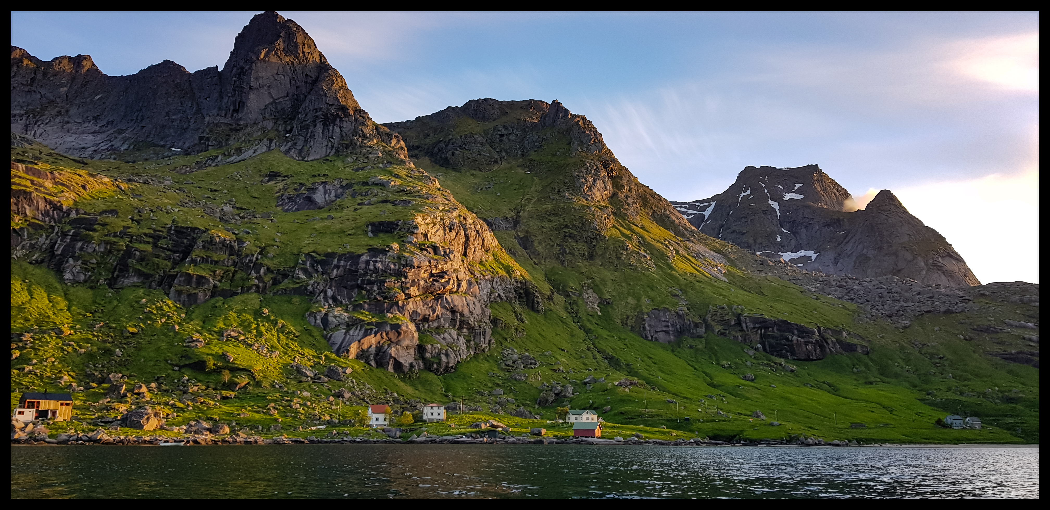
Trollefjord
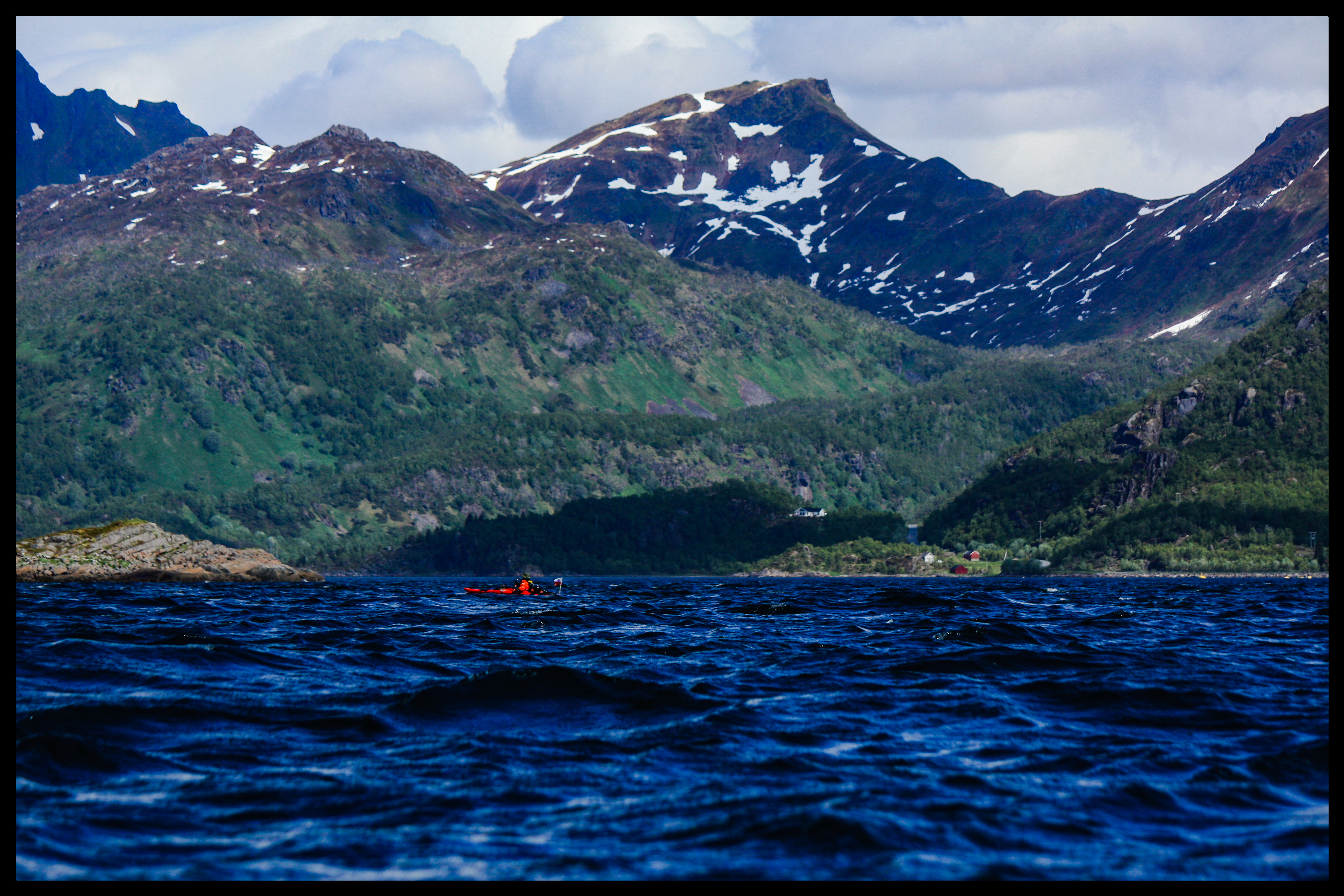
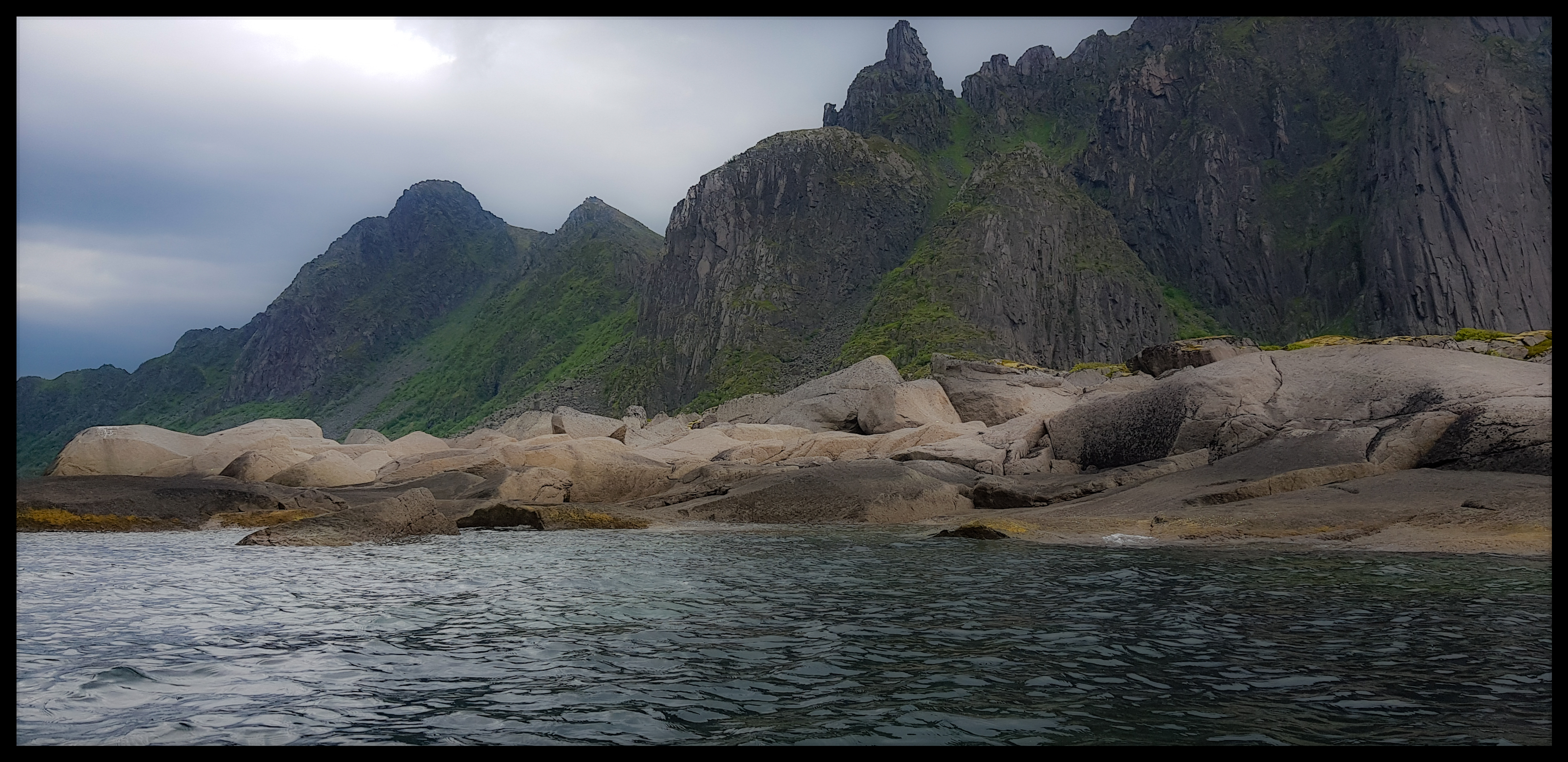
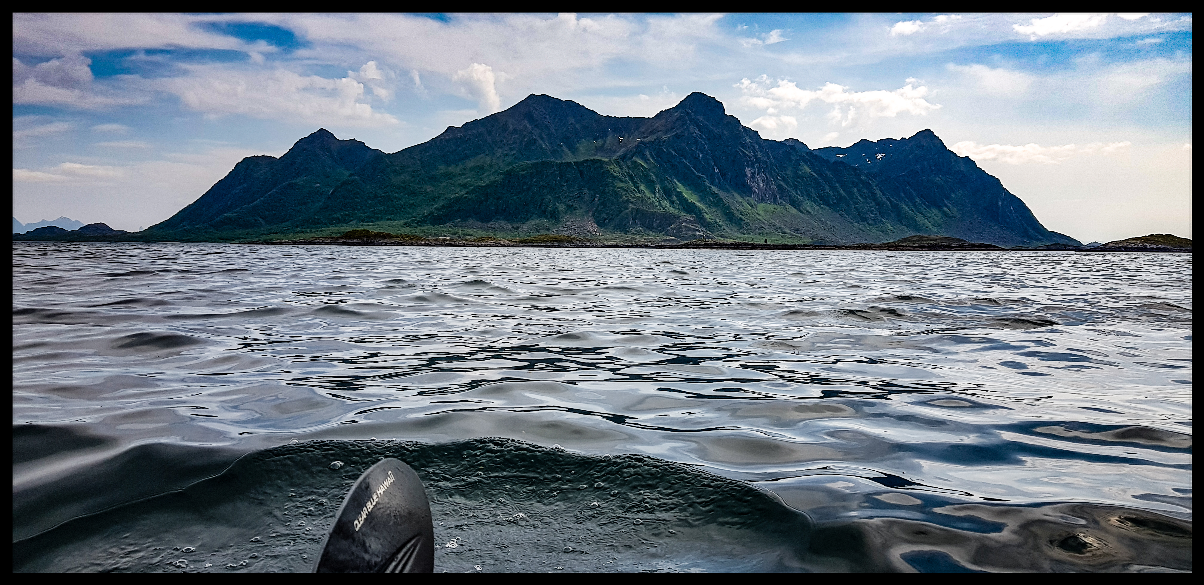
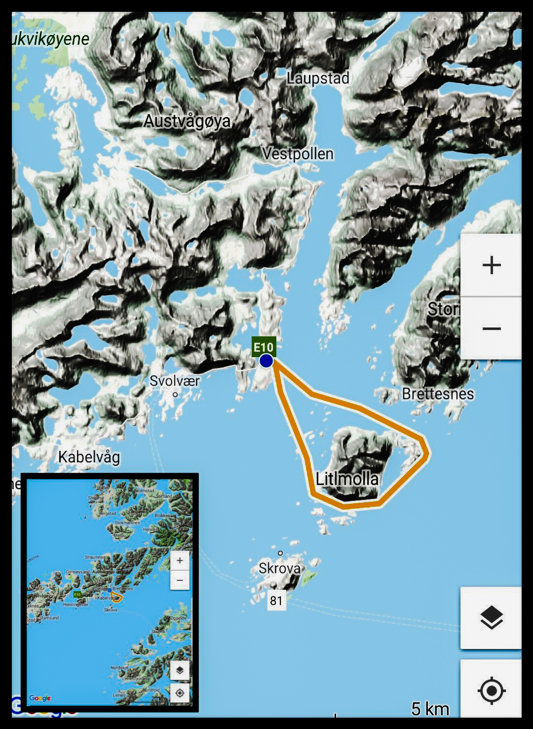
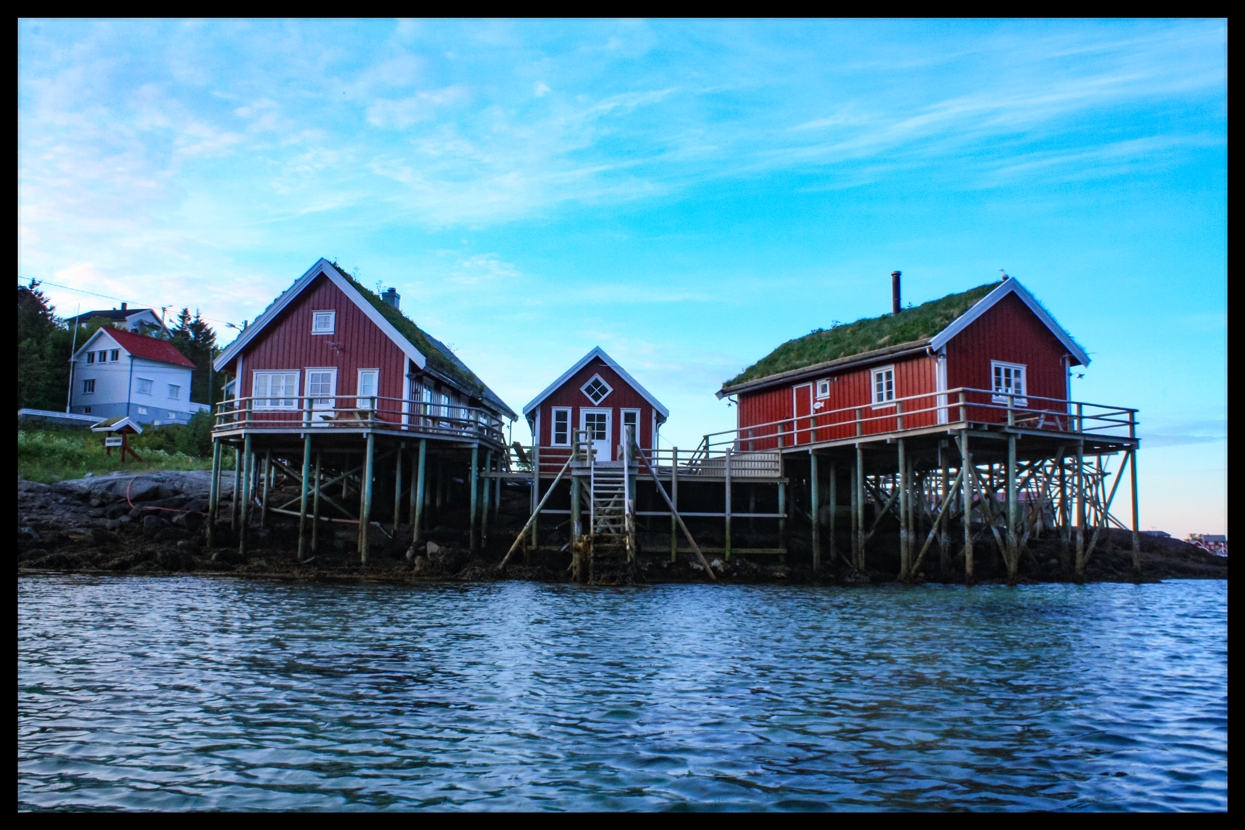
Litlmola
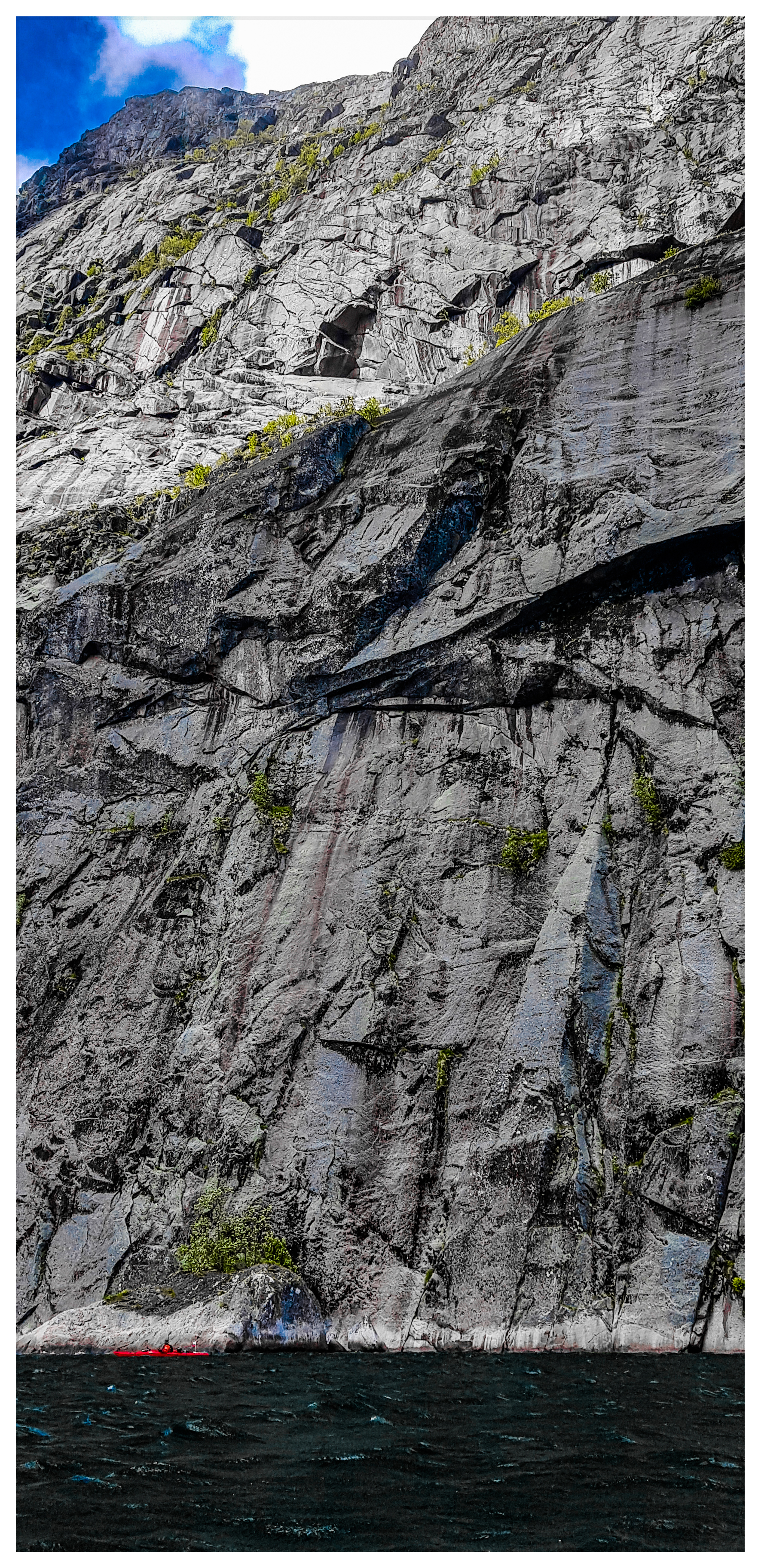
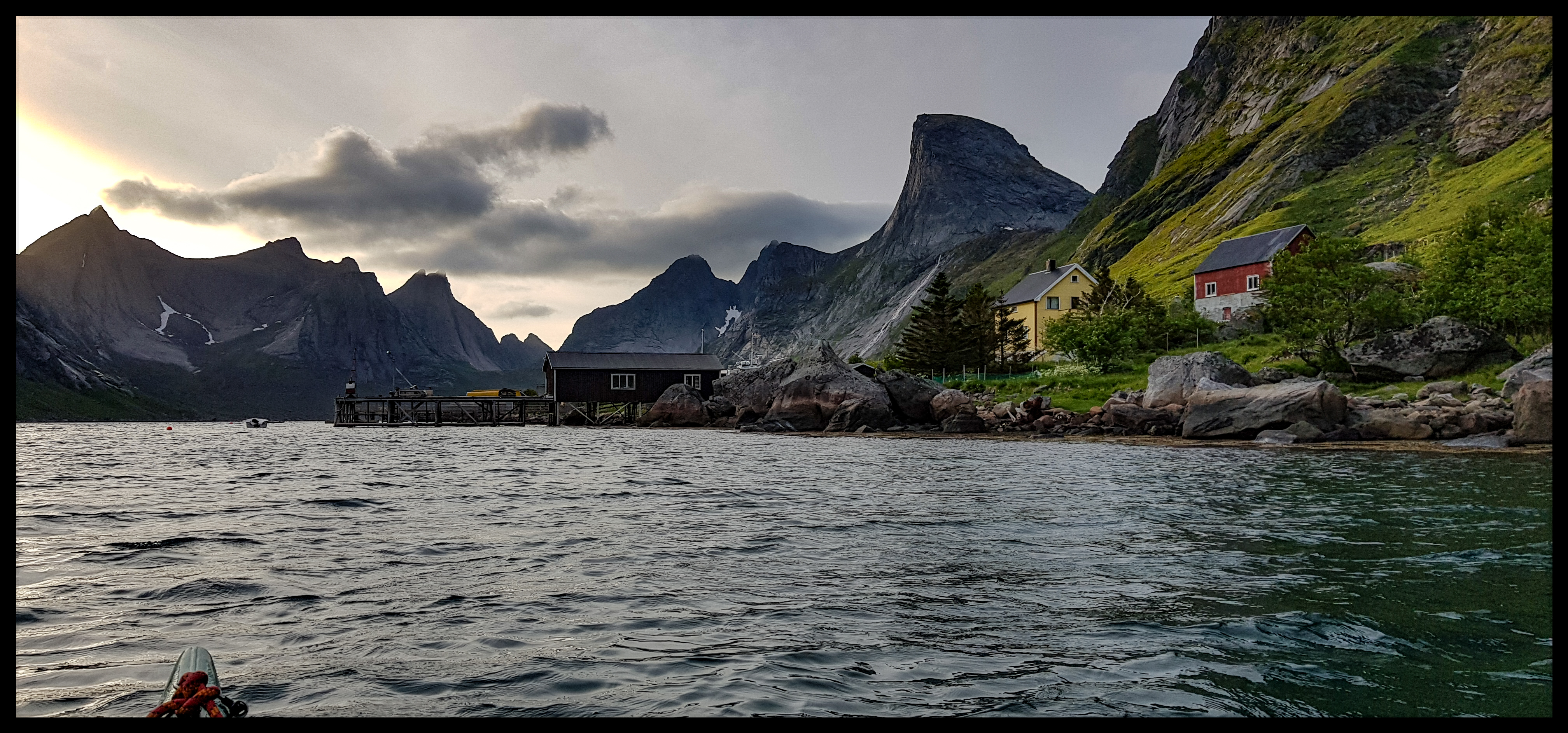
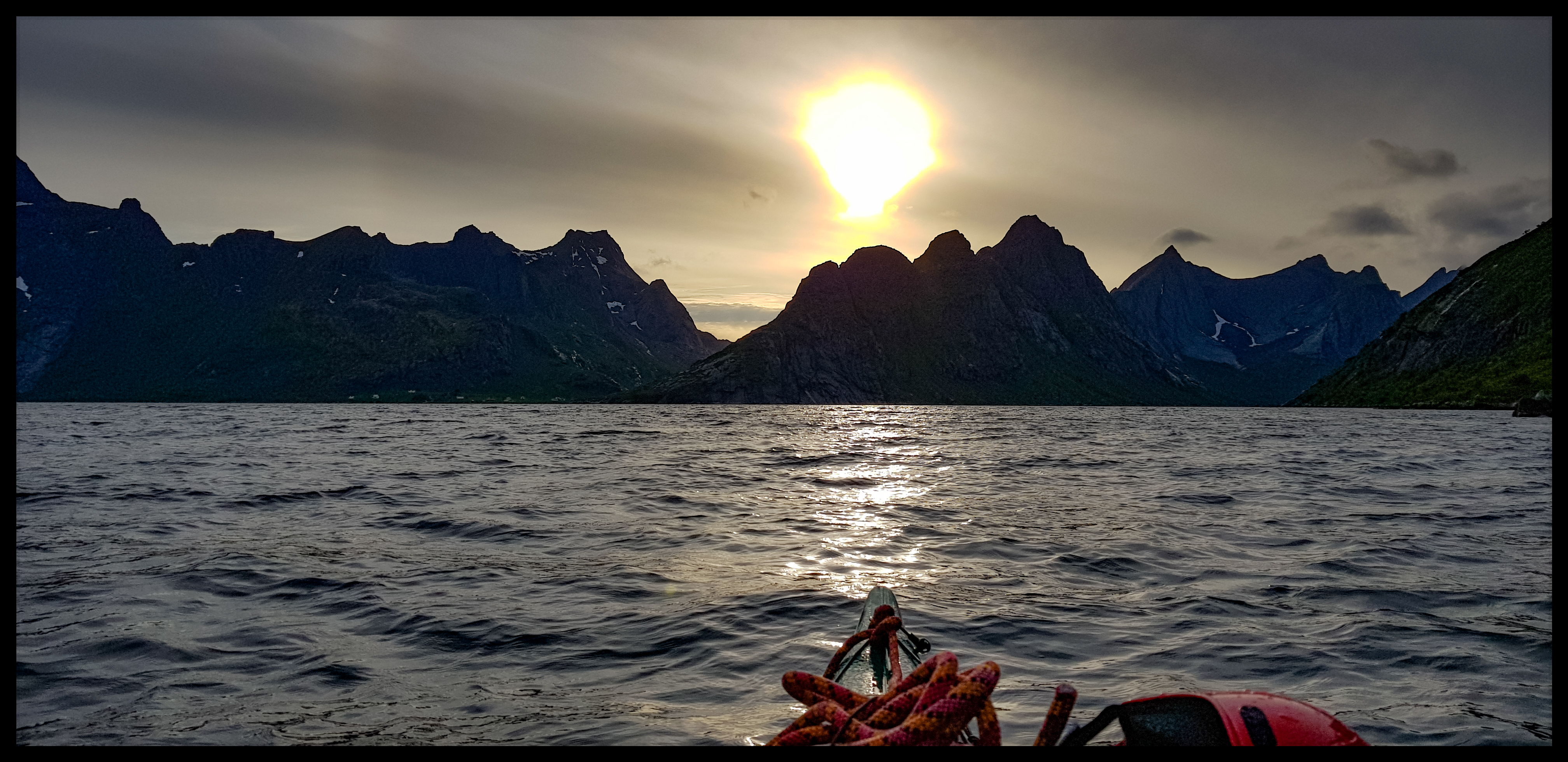
Reinefjord
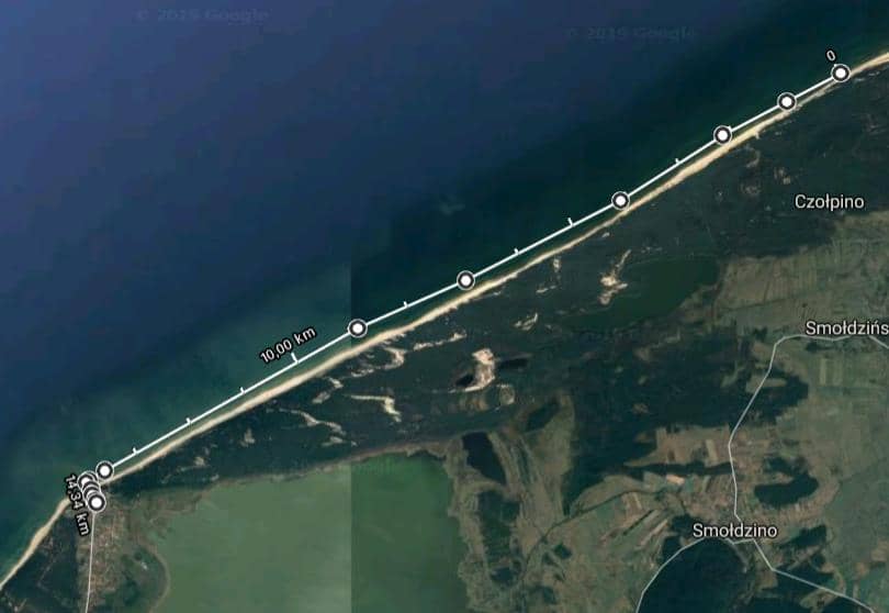
Karwieńskie Błota - Władysławowo (East Beach)
Date: 01.05.2019
Start: Karwia (beach – entrance number 47) - 14.00
Finish: Władysławowo (the base of the peninsula) - 17.30
Distance: About 16,8 km (9,1 Nm)
Wind's strength/Sea's state: West wind, 2-5°B /2-3
Weather: Sunny up to a complete overcast, temperatures of about 15-10°C, small waves (maximum height - 40-50 cm)
Jurata, 31 March 2019
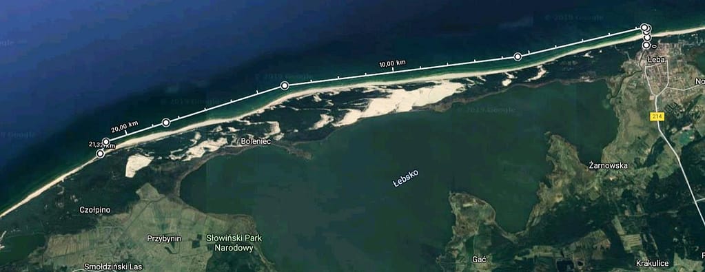
Władysławowo-Jurata
Date: 17th January 2019
Start: Władysławowo (the east beach) - 10:15
Finish: Jurata (beach) - 14:45
Distance: about 22 km (11,9 Nm)
Wind's Direction /Sea's State: West wind, about 3-4°B
Weather: an overcast with occasional sunlight, temperatures reaching 5°C, the waves reached 40-50 cm.
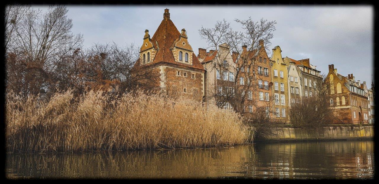
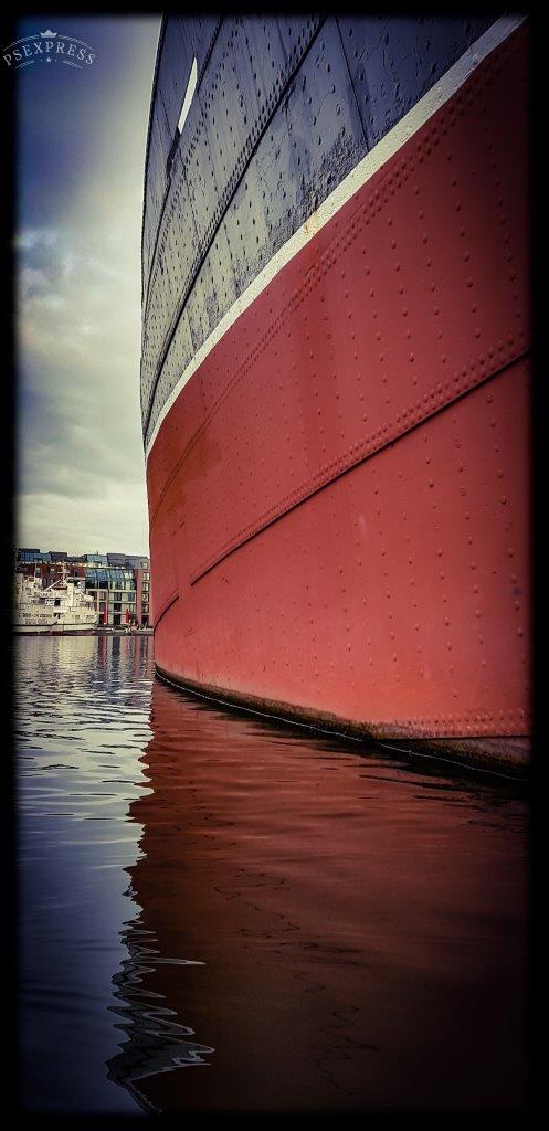
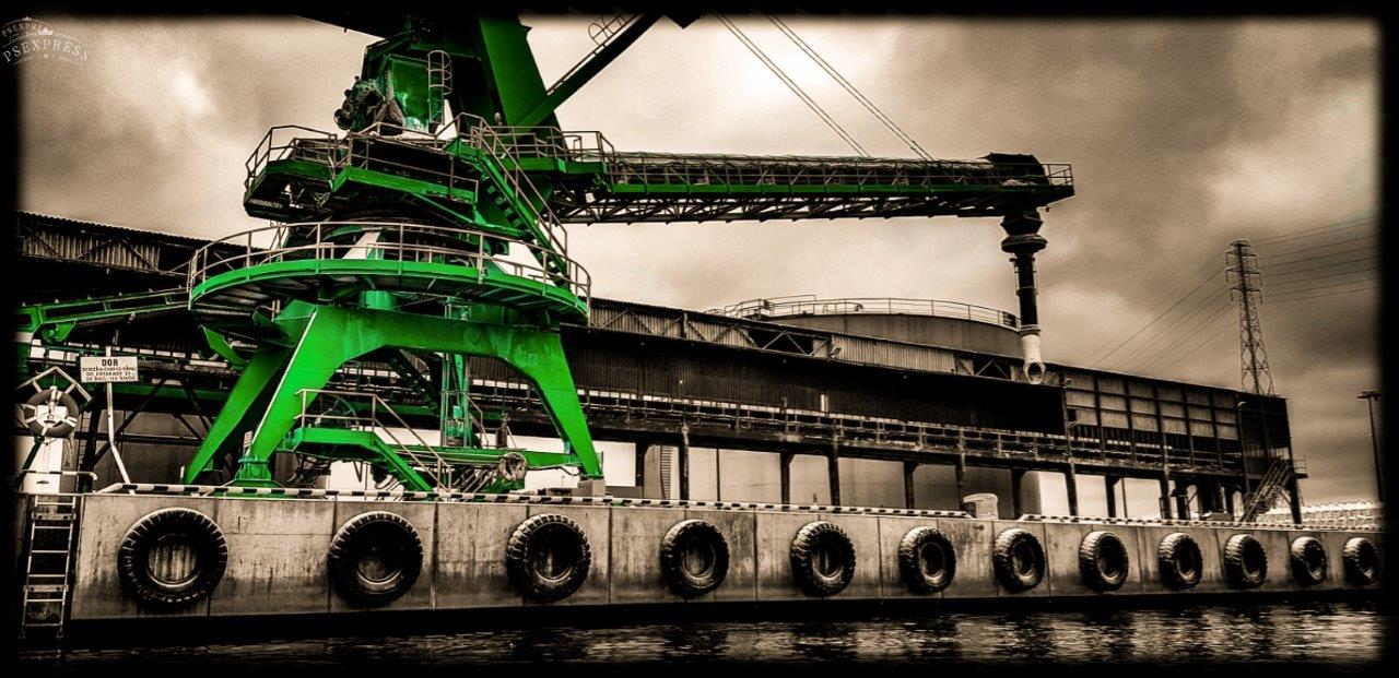
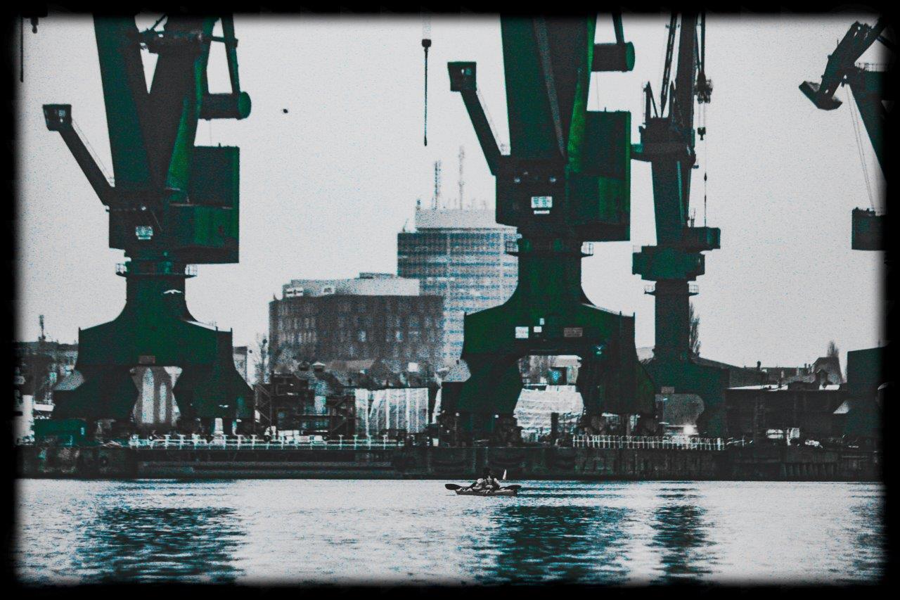
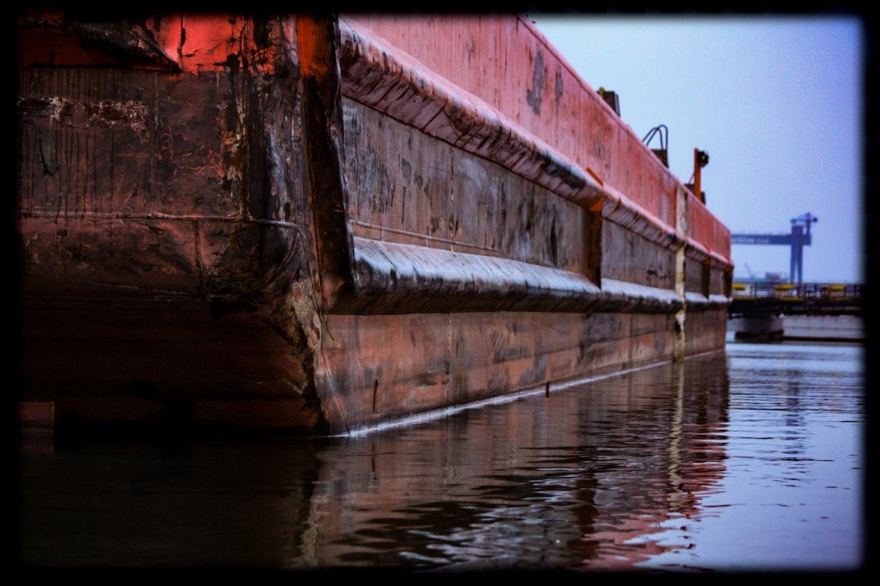
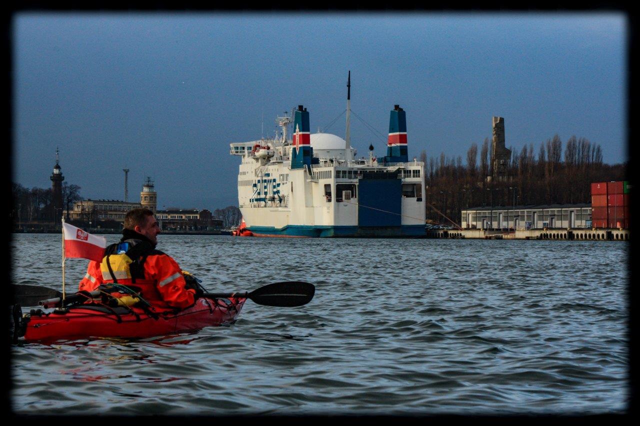
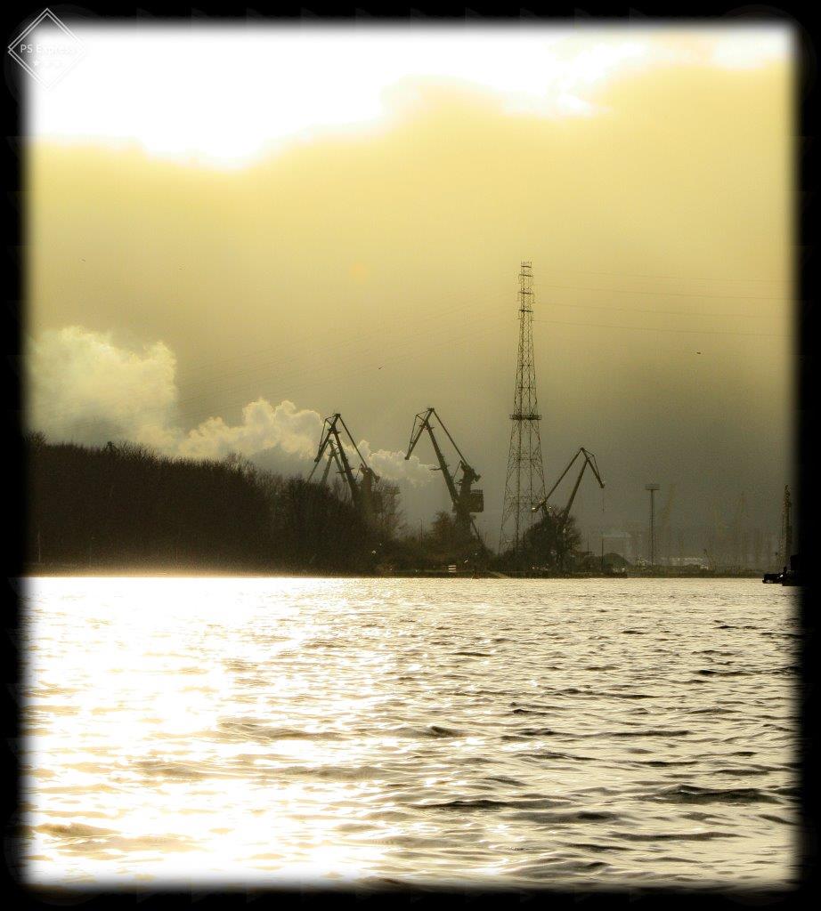
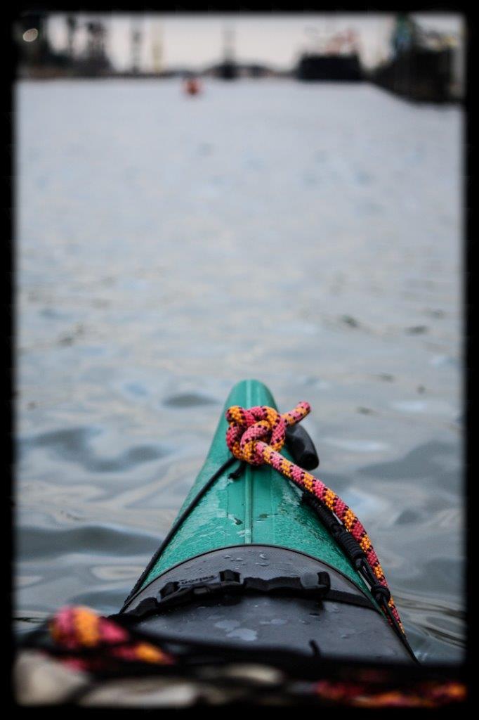
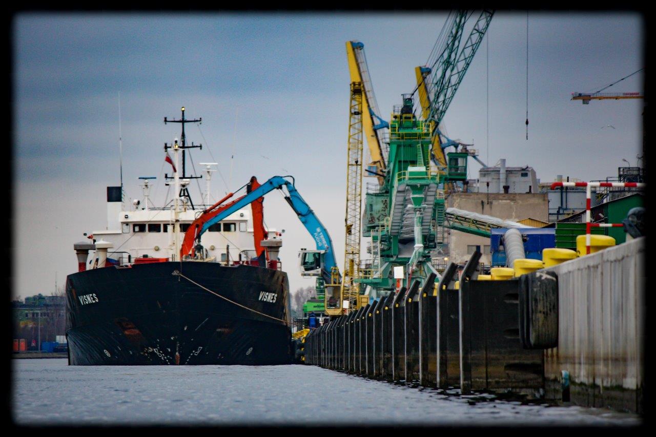
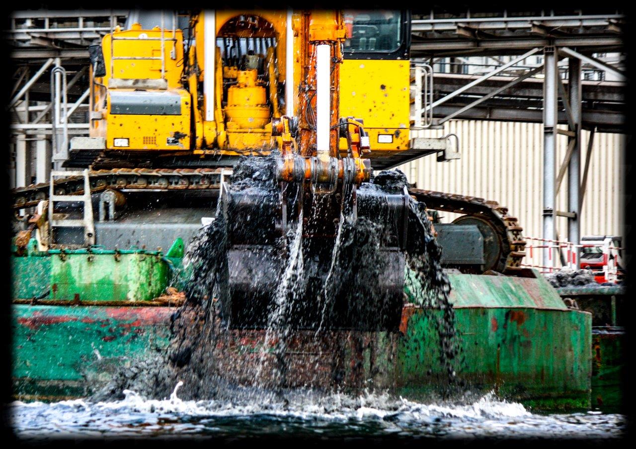
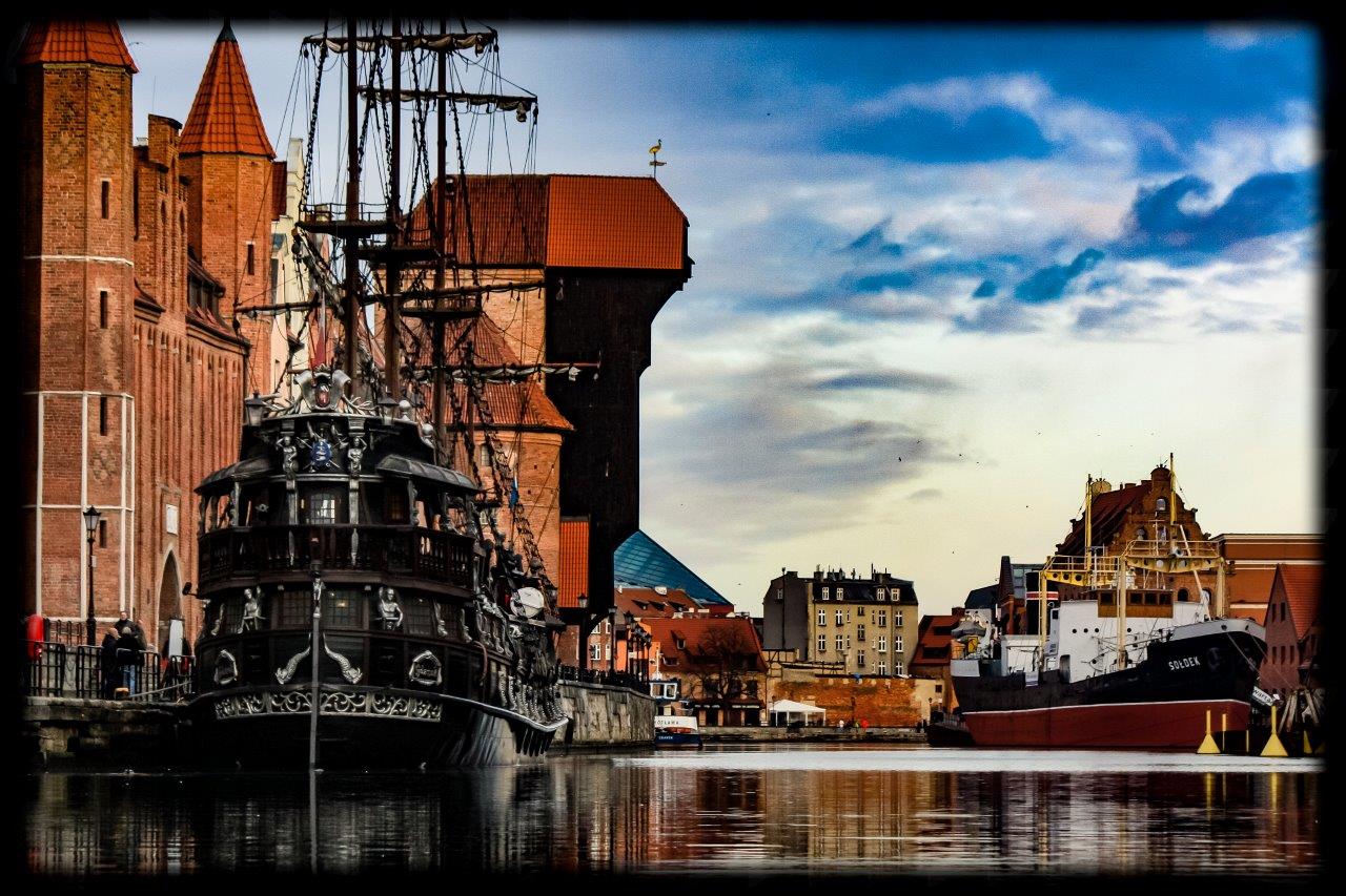
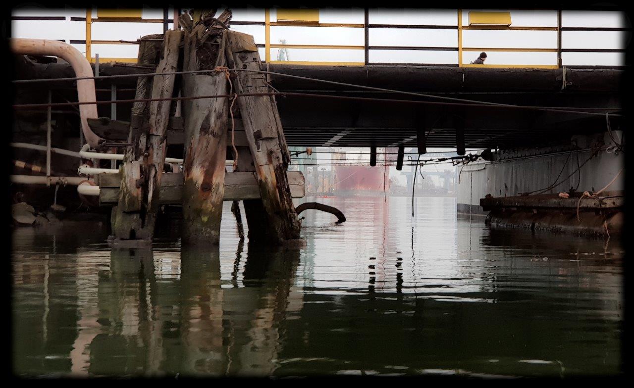
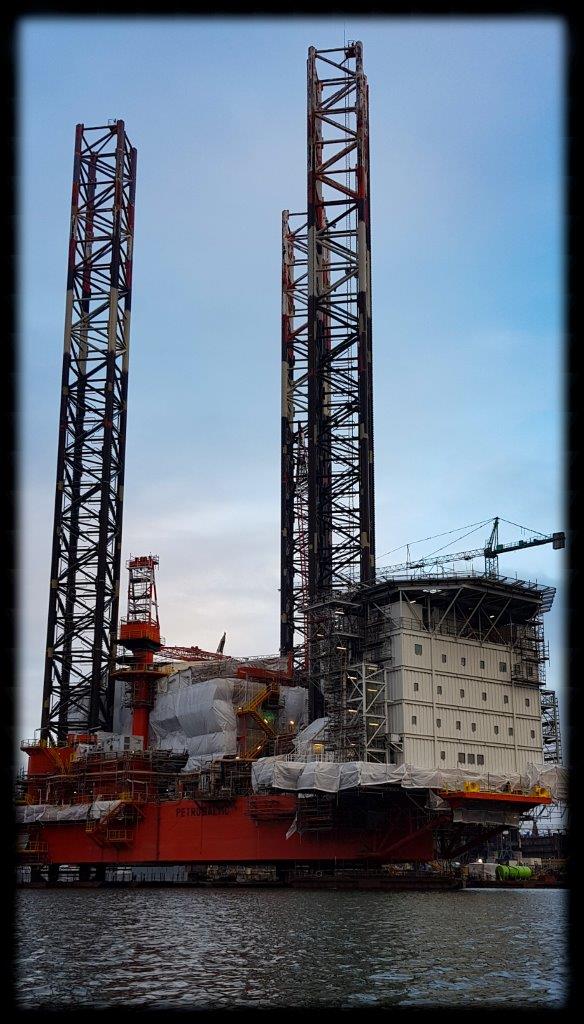
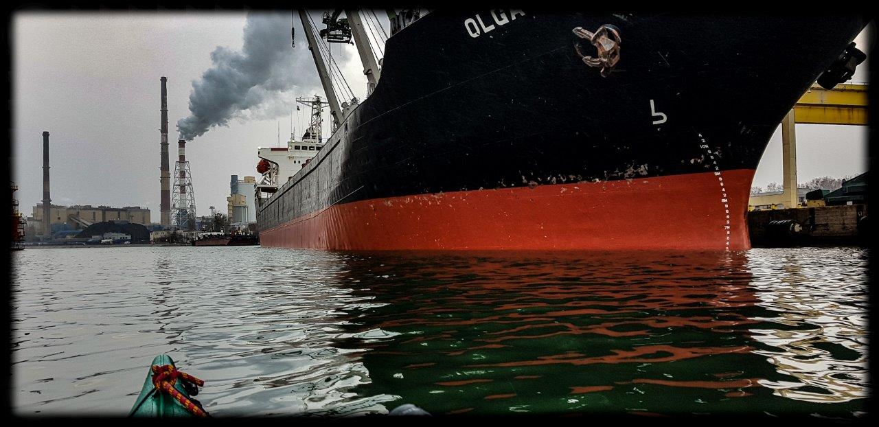
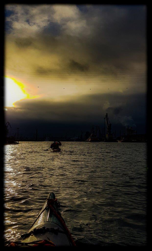
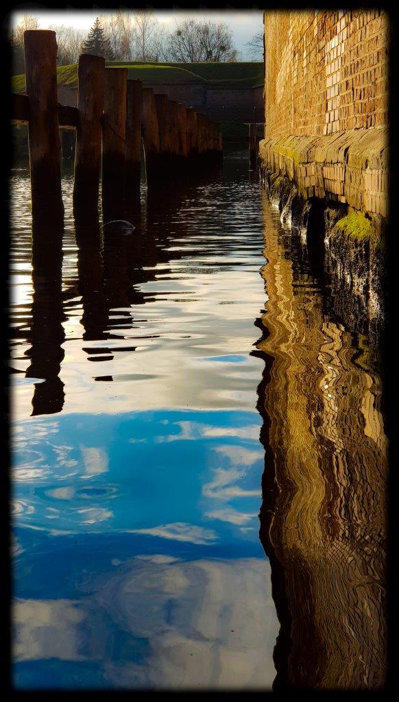
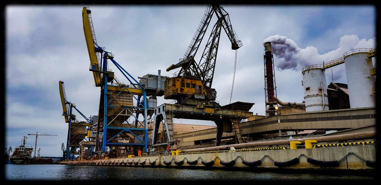
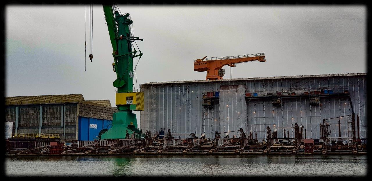
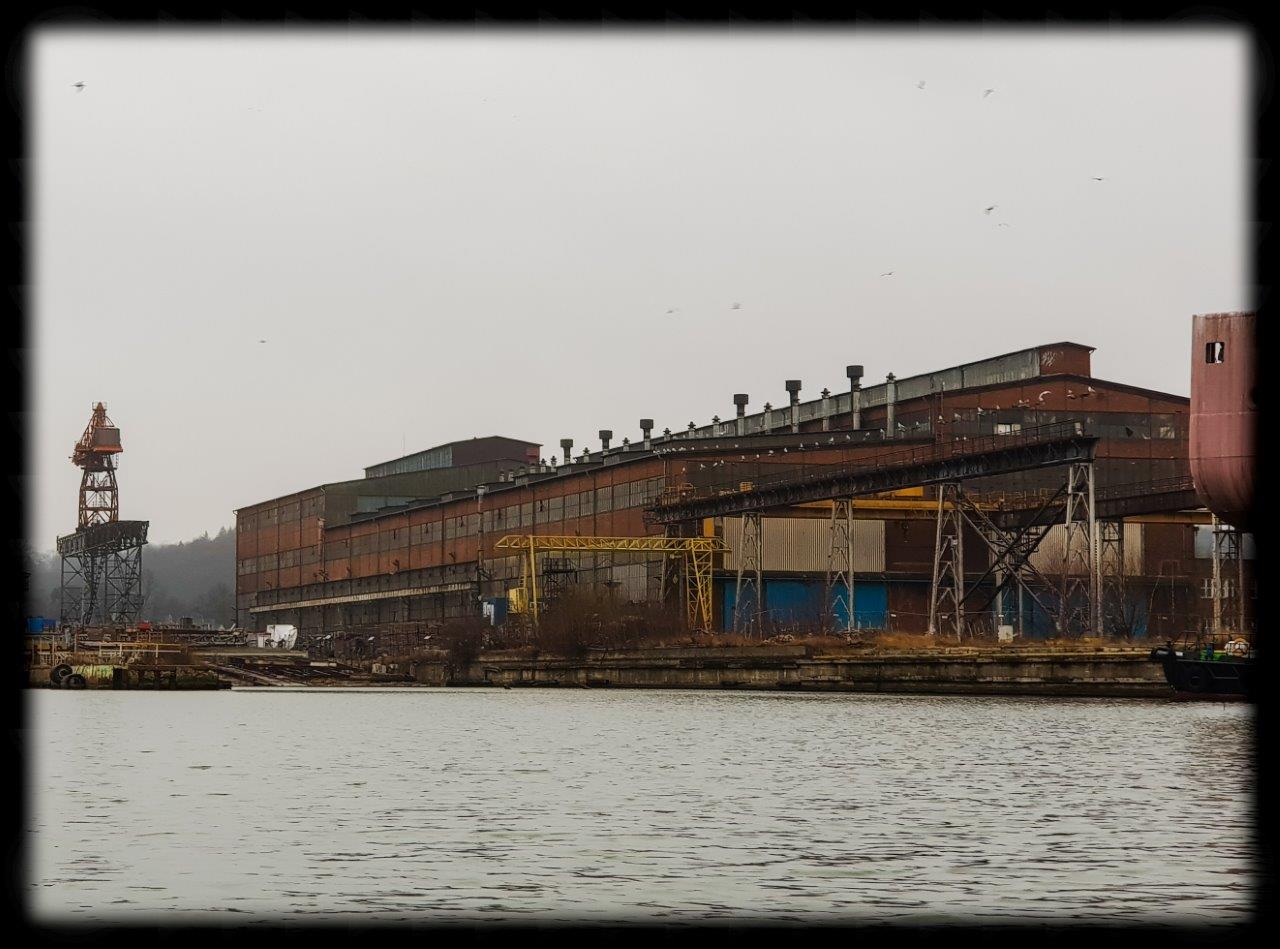
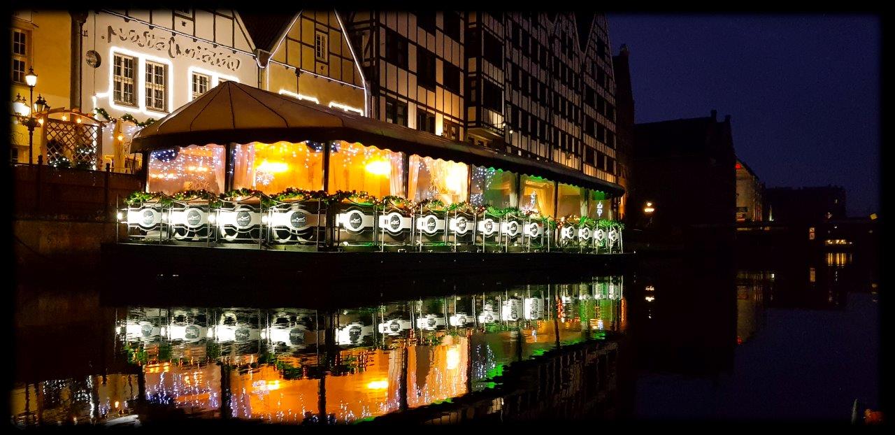
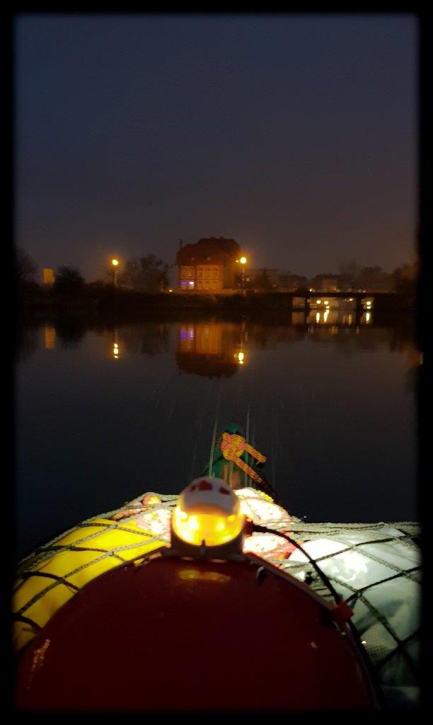
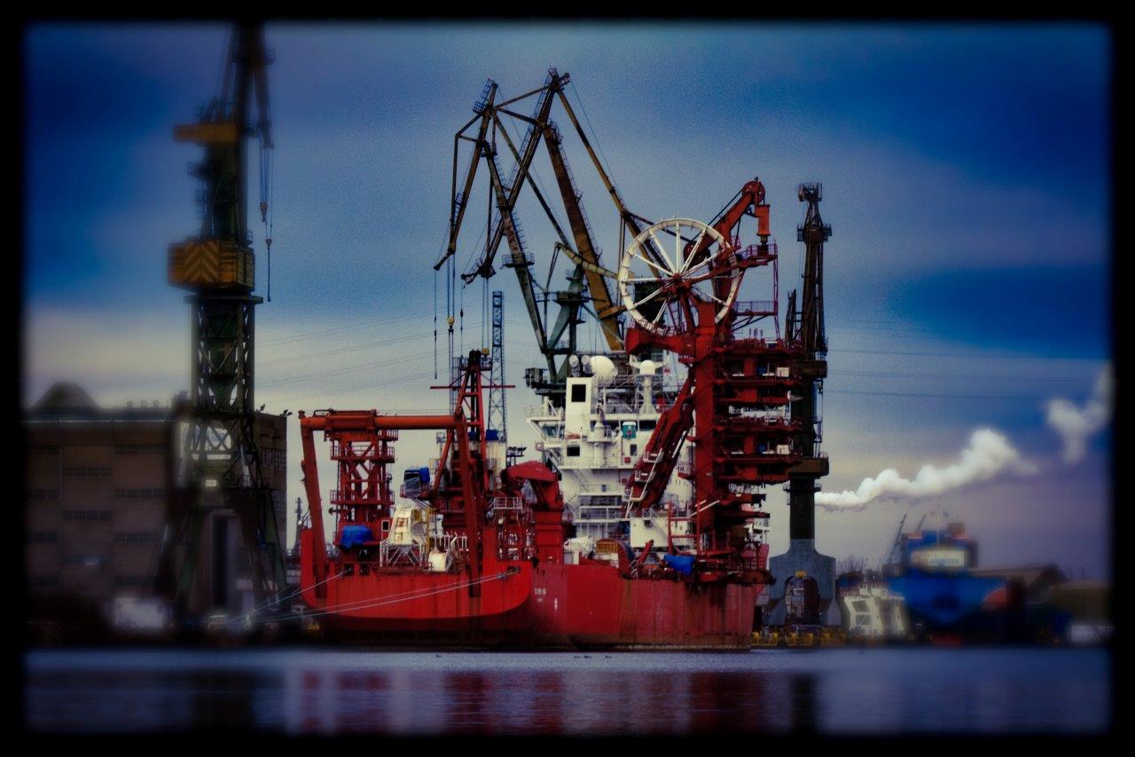
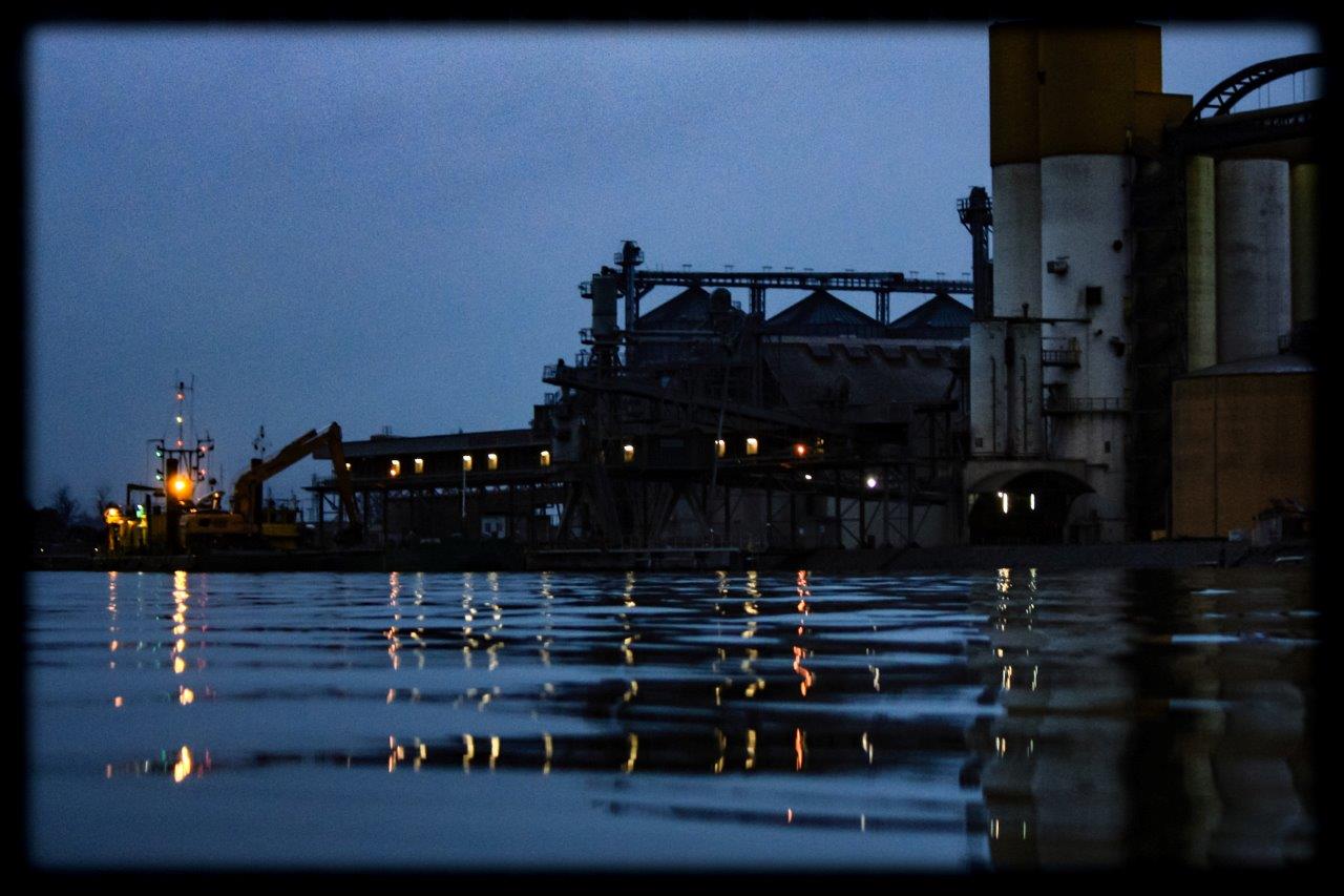
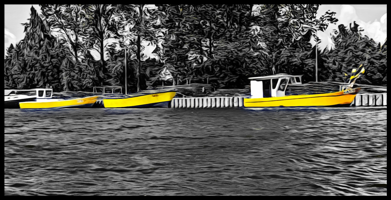
Gdansk Port
Journey Data
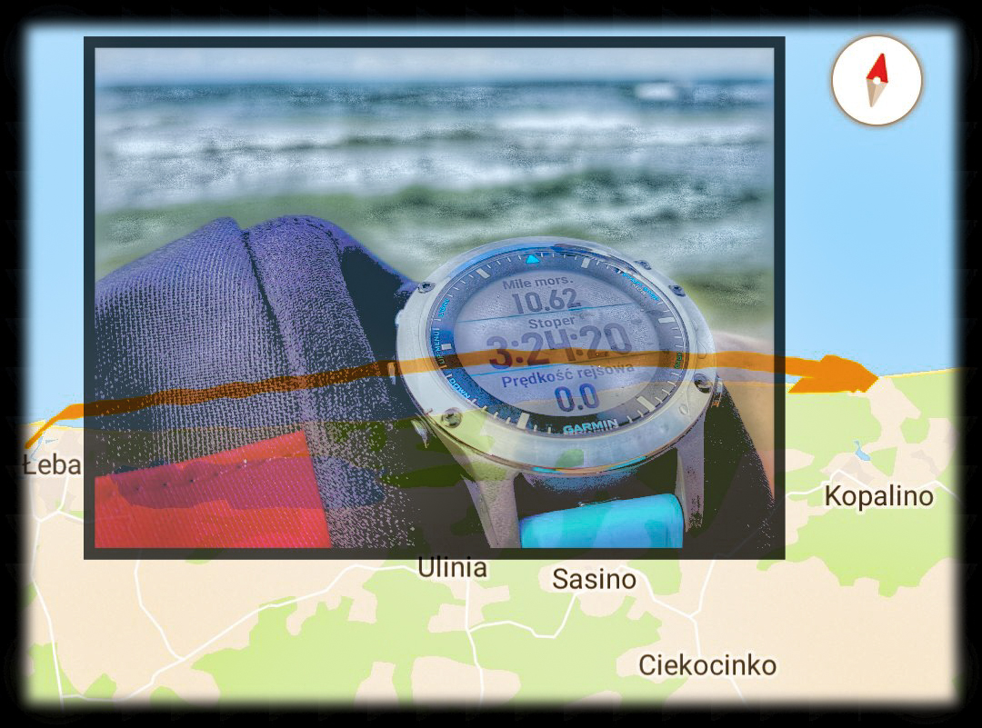
Date: 29 December 2018 r.
Start: Żabi Kruk - 10:00
Finish: Żabi Kruk - 16:30
Distance: 19,66 km (10,62 Nm)
Wind's strenght/Sea's state: South wind, about 1-2°B
Weather: At the begging many clouds were encountered but it was was sunny, later it turned into an overcast with a light showers. Temperatures of about 4°C. Waves of around 10cm.
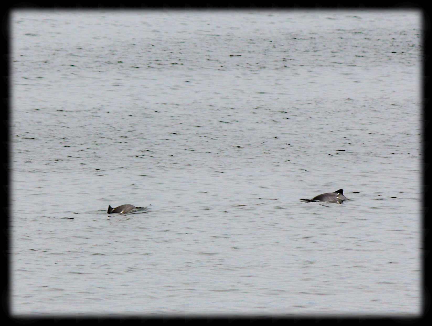
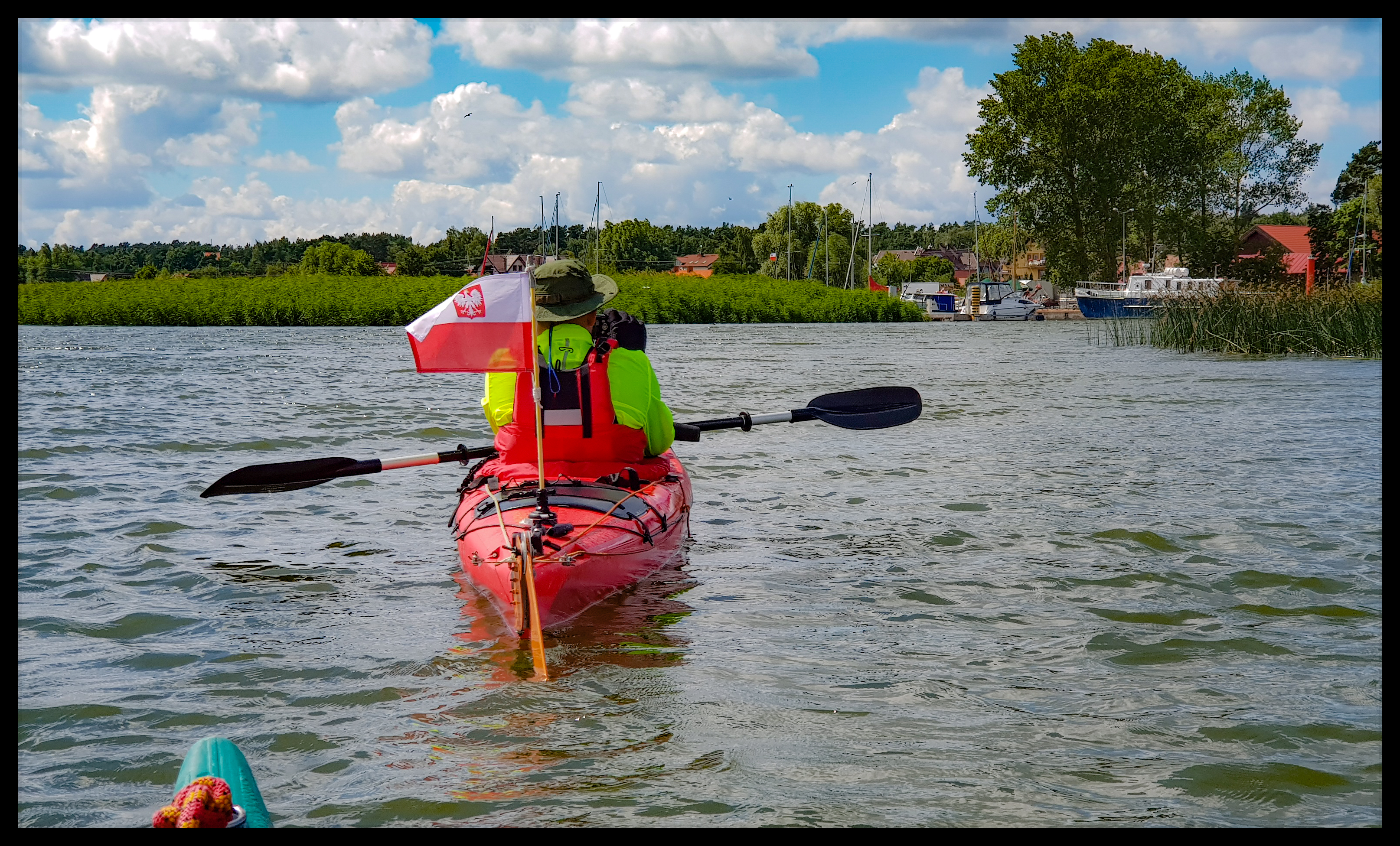
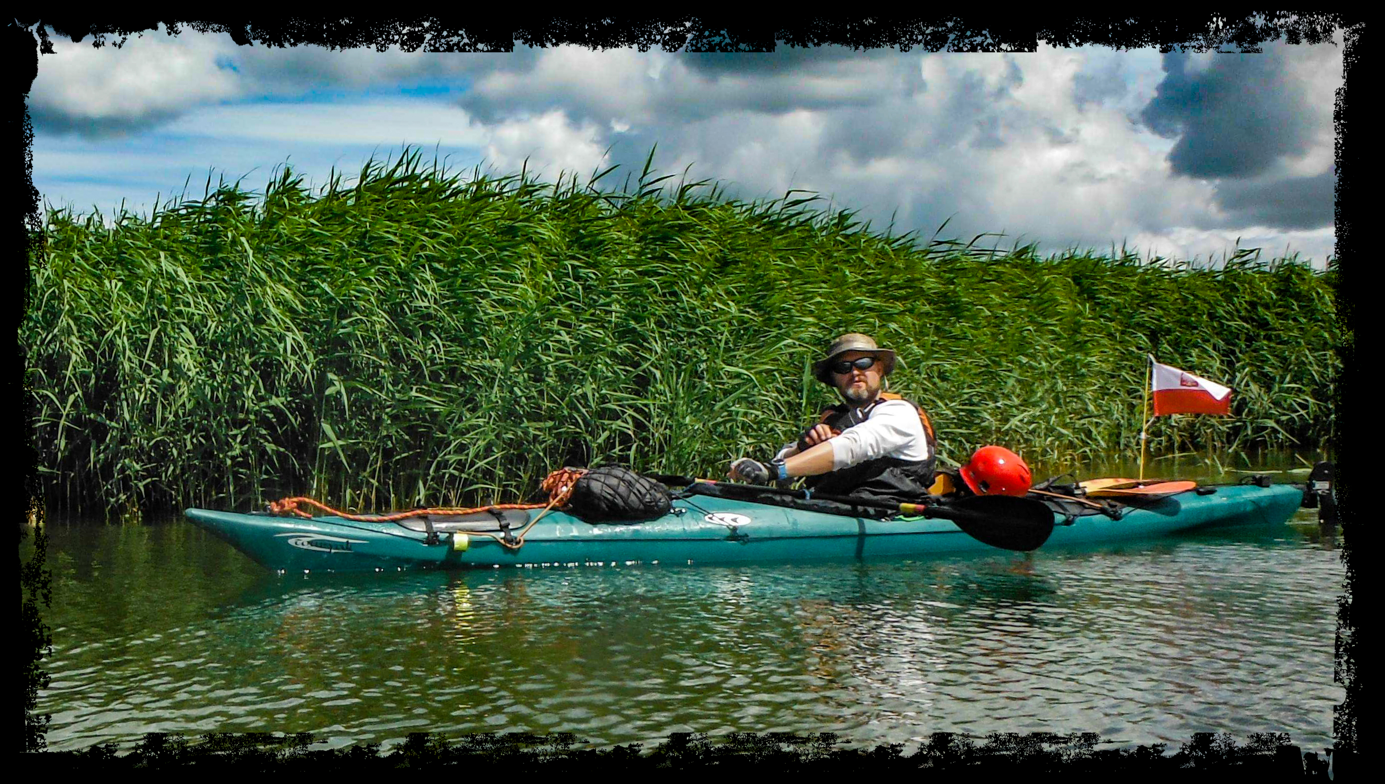
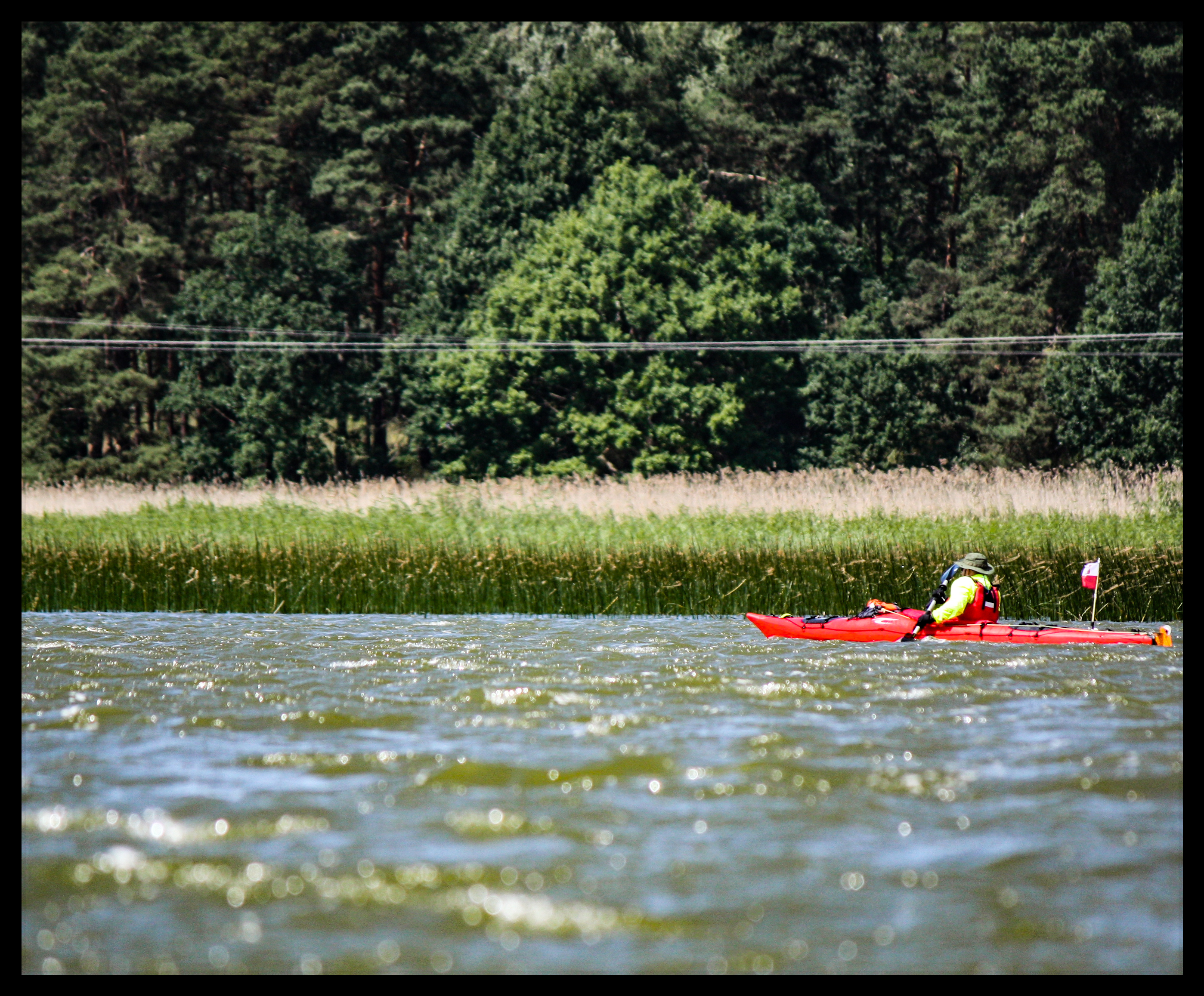
In the first half of June 2018 we „attacked” – together with Piotr – the biggest island of Aland archipelgo, Fasta Aland. Within 5 days we paddled circa 64 nautical miles (118 km) and went 2,5 km by foot during horrible 3-hours march with kayaks. For it was not full circumnavigation of the island. First two days had been just like on the lakes, since the fjords jut deeply into the land and difer from Polish lakes only with salt water and rocky shores. Next three stages were much more marine.
Video
Pictures
Here, you can find extensive depction of our passage, written down by Piotr (only in Polish)